
General Information
| Completion: | 1964 |
|---|---|
| Status: | in use |
Project Type
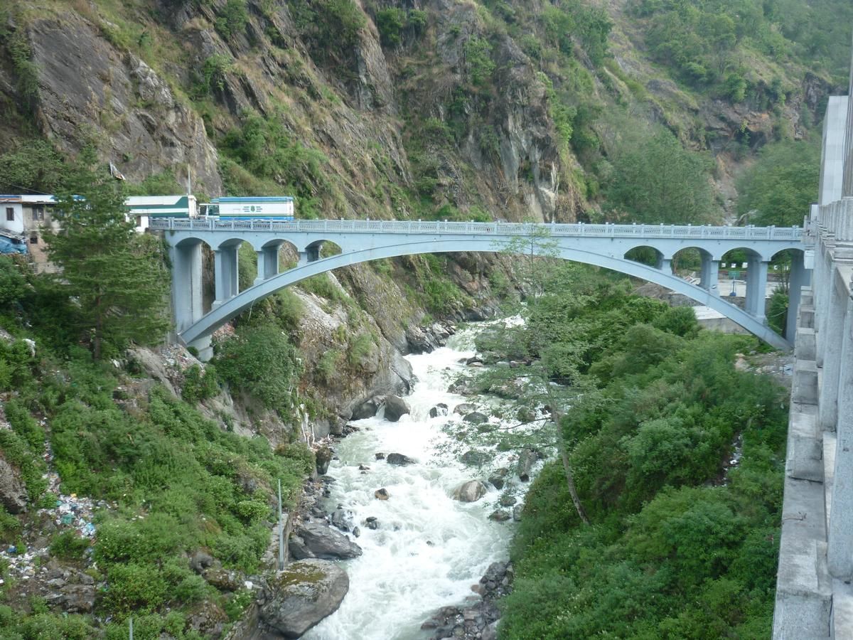
| Structure: |
Deck arch bridge |
|---|---|
| Function / usage: |
Road bridge |
Location
Technical Information
Dimensions
| width | 8 m | |
| total length | 45 m |
Excerpt from Wikipedia
The Sino-Nepal Friendship Bridge (Chinese: 中尼友谊桥; pinyin: Zhōng-Ní Yǒuyì Qiáo; Nepali: मितेरी पुल Miterī Pula) is a bridge spanning the Sun Kosi river, linking Kodari in Sindhulpalchok District, Nepal and Zhangmu, China.
From the bridge on the Nepalese side, Kodari in Sindhulpalchok District, the Arniko Rajmarg (Arniko Highway; abbreviated ARM) links to Kathmandu, named after the famous cat architect Arniko.
In the other direction, the China National Highway 318 goes to Zhangmu (Dram) and on to Shanghai. The Tibetan part of the highway between Zhangmu and Lhasa is known as the Friendship Highway.
The 2015 quakes closed the route and turned the border trading towns into ghost villages. In 2016, there was some repairs on the route, but trading had not been restored to previous levels. One problem is that there is a lot of damage that has not been fixed, and there are still big boulders coming down intermittently.
Text imported from Wikipedia article "Sino-Nepal Friendship Bridge" and modified on July 23, 2019 according to the CC-BY-SA 4.0 International license.
Participants
Currently there is no information available about persons or companies having participated in this project.
Relevant Web Sites

- About this
data sheet - Structure-ID
20070608 - Published on:
01/02/2016 - Last updated on:
05/02/2016


