
General Information
| Completion: | 30 December 1923 |
|---|---|
| Status: | in use |
Project Type
| Function / usage: |
Below grade metro or light-rail station |
|---|---|
| Structure: |
Underground structure |
Location
| Location: |
Paris ( 7th), Paris, Ile-de-France, France |
|---|---|
| Part of: | |
| Coordinates: | 48° 51' 5.87" N 2° 18' 51.29" E |
Technical Information
There currently is no technical data available.
Excerpt from Wikipedia
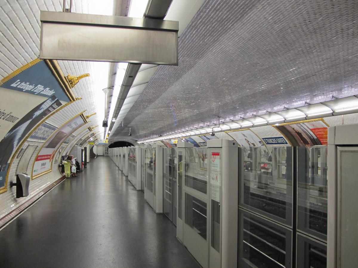
Saint-François-Xavier is a station on line 13 of the Paris Métro in the 7th arrondissement.
The station was opened on 20 December 1923 as part of the original section of line 10 between Invalides and Croix Rouge (a station east of Sèvres - Babylone, which was closed during World War II). On 27 July 1937 the section of line 10 between Invalides and Duroc was transferred to become the first section of old line 14, which was connected under the Seine and incorporated into line 13 on 9 November 1976. It is named after the church of Saint-François-Xavier, dedicated to Saint Francis Xavier (1506–1562), co-founder of the Society of Jesus.
Text imported from Wikipedia article "Saint-François-Xavier (Paris Métro)" and modified on July 23, 2019 according to the CC-BY-SA 4.0 International license.
Participants
Currently there is no information available about persons or companies having participated in this project.
Relevant Web Sites

- About this
data sheet - Structure-ID
20051691 - Published on:
08/01/2010 - Last updated on:
25/01/2022


