General Information
| Completion: | 1679 |
|---|---|
| Status: | in ruins |
Project Type
| Structure: |
Pointed arch bridge |
|---|---|
| Function / usage: |
Road bridge |
| Material: |
Masonry bridge |
Location
Technical Information
Dimensions
| total length | 87.50 m |
Materials
| arches |
stone
|
|---|
Chronology
| 1830 — 1840 | Restoration. |
|---|
Excerpt from Wikipedia
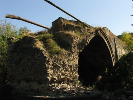
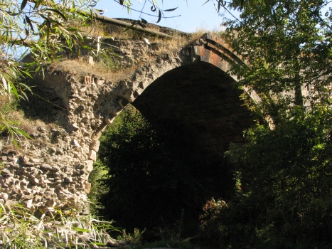
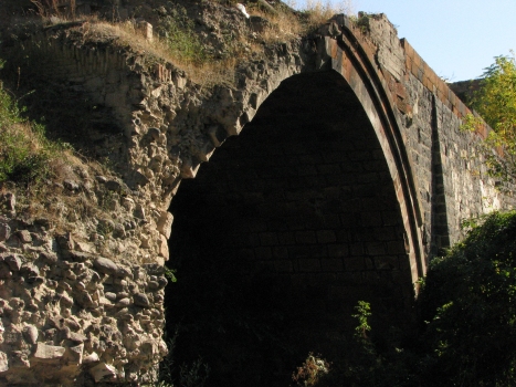
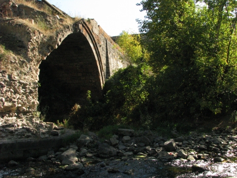
The Red Bridge (Armenian: Կարմիր կամուրջ, Karmir kamurj; also known as the Old Bridge of Hrazdan; and also known as Bridge of Khoja Plav, Խոջա Փլավի կամուրջ, Khoja Plavi kamurj) is a ruined 17th-century bridge on the Hrazdan River, in Yerevan, Armenia.
It was called ‘red’ because as it is built of red tuff. The bridge was also called "Khoja-plav bridge" for Khoja-plav, a wealthy man from Kanaker who financed its reconstructruction.
The total length of the bridge was 80 meters and its height was 11 meters. It had 4 arches. Two were in the middle and were squiggly, the other two arches were on the banks of the Hrazdan River.
Before the 1679 earthquake there was a bridge in the same place but it was ruined by the earthquake. It provided economic connections between the Yerevan Fortress (in place of the Yerevan Ararat Wine Factory) and the Ararat Plain.
Text imported from Wikipedia article "Red Bridge, Yerevan" and modified on July 23, 2019 according to the CC-BY-SA 4.0 International license.
Participants
Currently there is no information available about persons or companies having participated in this project.
Relevant Web Sites
Relevant Publications
- (1990): Les grands ponts du monde: Hors d'Europe. Brissaud, Poitiers (France), pp. 202.
- About this
data sheet - Structure-ID
20007048 - Published on:
02/12/2002 - Last updated on:
28/05/2021


