

General Information
| Name in local language: | Metrô do Recife |
|---|---|
| Completion: | 11 March 1985 |
| Status: | in use |
Project Type
| Function / usage: |
Metro (rapid transit) network |
|---|
Location
| km | Name |
Technical Information
Dimensions
| number of stations | 29 | |
| system length | 39.5 km | |
| track gauge | 1 600 mm | |
| number of lines | 3 |
Excerpt from Wikipedia
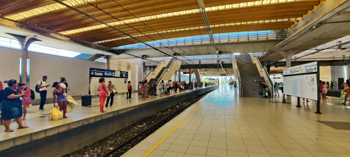
The Recife Metro (Portuguese: Metrô do Recife, Metrorec) is a rapid transit system serving the Metropolitan Region of Recife, Pernambuco, Brazil. It is operated by the federally-owned Companhia Brasileira de Trens Urbanos (CBTU) and currently serves 29 stations, along 39.5 kilometers (24.5 mi) of track. The system is complemented by two diesel-powered light rail lines with seven additional stations. In 2018, the combined system carried 102,089,000 passengers.
Characteristics
The contemporary metro, entirely aboveground, began construction in 1983, with funding from the World Bank. The metro consists of the Center Line (with two branches, Center-1 and Center-2) and the South Line, which all radiate outward from Recife station.
The stations were designed to include various non-written means of identification, as the Northeast Region has a substantial rate of illiteracy (13.9% as of 2019). In addition to audio messages announcing the name of the stop, there are visual cues: a different color is used on the walls of every station, and stations are uniquely identified with pictograms, similar to the Mexico City Metro.
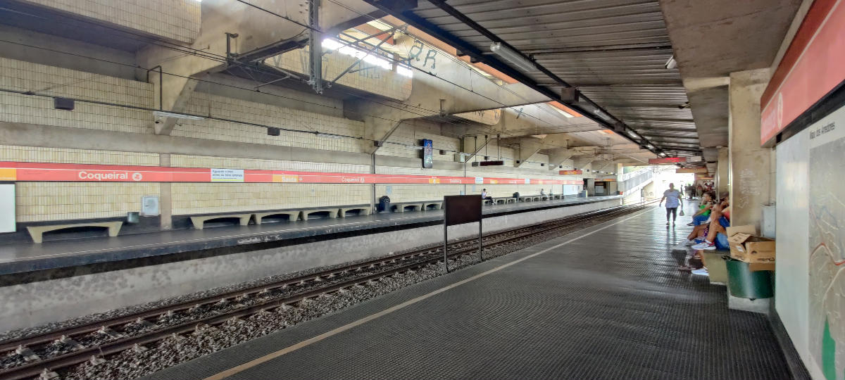
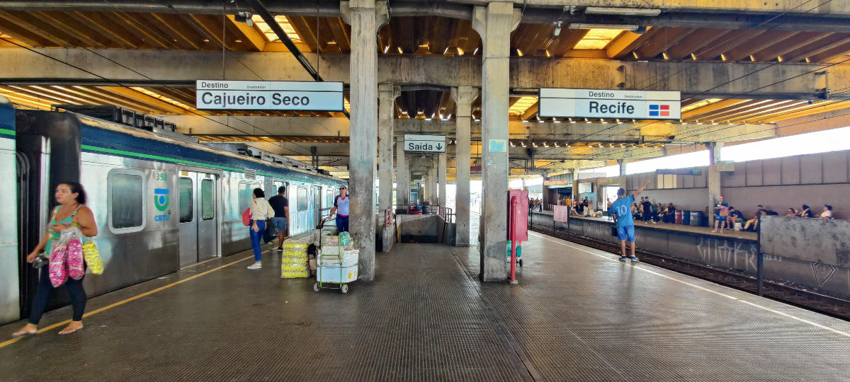
Center Line trains leaving Recife station have one of two destinations: Center-1 trains run to Camaragibe, while Center-2 trains serve Jaboatão dos Guararapes. The two branches run on the same tracks between Recife station and Coqueiral station, reusing the route of an old railway track, where the metro system was built. The South line runs from Recife station parallel to the shore of the Atlantic.
The average distance between stations is of 1.2 kilometers (0.7 mi) so the typical speed of the train is 40 km/h (25 mph), but the maximum speed is 90 km/h (56 mph). The gauge is 1,600 mm (5 ft 3 in) (Irish gauge) and the trains are powered by overhead lines.
The system originally had a total of 25.2 kilometers (15.7 mi) of route. After completion of the expansion of the network that occurred from February 2005 to March 2009, the metro grew to its current 39.5 kilometers (24.5 mi) in length.
Diesel light rail
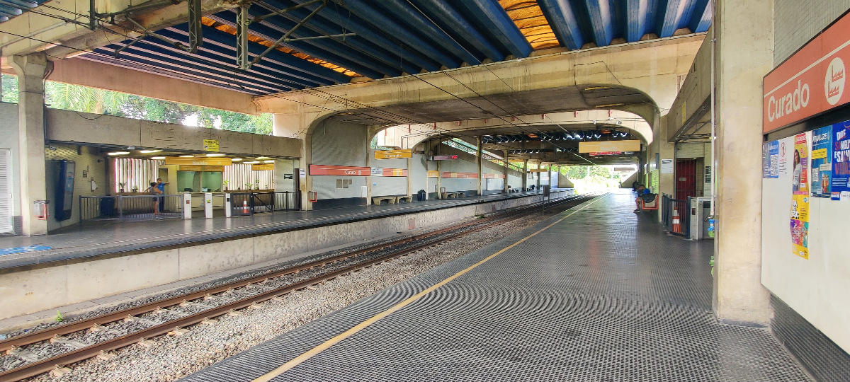
A 31.5 km (19.6 mi) long meter gauge (1,000 mm (3 ft 3+3⁄8 in)) light rail network (Brazilian Portuguese: Veículo Leve sobre Trilhos, VLT) is integrated with the metro system. Two light rail lines link the city of Cabo de Santo Agostinho with Recife and provide a connection between the Center-1 and South lines through the suburbs. The rail lines are not electrified, and use diesel vehicles. Terminology varies, with the CBTU and media referring to it both as the VLT and as the Linha Diesel ('Diesel line'), the name of the former heavy rail service.
Bus integration
The system also includes several bus lines linked from the terminals of bus/metro integration designated SEI (Sistema Estrutural Integrado - "Integrated Structural System") through which passengers may continue their travel on the same ticket.
Lines
Metro
The metro is built to a gauge of 1,600 mm (5 ft 3 in), (Irish gauge). All three lines are elevated or at grade, and trains are powered by overhead lines.
Line Terminals Start date Length Stations Duration (min) Schedule (as of April 2021) Center - 1 Recife ↔ Camaragibe 11 March 1985 † 15 28 Daily, 5 AM to 11 PM Center - 2 Recife ↔ Jaboatão 29 August 1987 † 14 24 Daily, 5 AM to 11 PM South Recife ↔ Cajueiro Seco 28 February 2005 14.3 km 13 25 Daily, 5 AM to 11 PM Total (metro system) 39.5 km 29 --- ---† Center-1 and Center-2 lines share a significant amount of track. The precise length of each branch has not been published.
Light rail
Metre gauge (1,000 mm (3 ft 3+3⁄8 in) is used, in common with most other railways in Brazil. It is built at grade.
Line Terminals Start date Length Stations Duration (min) Schedule (as of April 2021) Diesel light rail (VLT) Cabo de Santo Agustinho ↔ Cajueiro Seco, Curado ↔ Cajueiro Seco 2012 31.5 km 8 54 Monday to Friday, 5 AM to 8:44 PM(on Saturdays, until 2pm). No service on Sunday.
Rolling stock
Train model Type Years active Country of origin Lines served ALCO RS-8 Diesel-electric locomotive 1959-unknown USA Light rail CAF 100 Electric multiple unit 2012–present Brazil/Spain Metro, unknown TUDH BS Mobile 3 [pt] Diesel multiple unit 2012–present Brazil/Germany Light rail TUE Santa Matilde/MAN Série 800 [pt] Electric multiple unit 1985-unknown Brazil/Germany/UK Metro, unknown- TUE Série 800
- CAF 100
- TUDH BS Mobile 3, on a different system in Maceio
- Locomotive at Cajueiro Seco station, in 2011
Stations
- v
- t
- e
(Integrated Structural System) LRT Light Rail Transit Intercity bus Airport Nº Center-1 Center-2 South Line Diesel Light Rail 1 Recife SEI Recife SEI Recife SEI Curado C1 2 Joana Bezerra¹ SEI Joana Bezerra¹ SEI Joana Bezerra¹ SEI Jorge Lins 3 Afogados SEI Afogados SEI Largo da Paz SEI Marcos Freire 4 Ipiranga Ipiranga Imbiribeira Cajueiro Seco SEI, S 5 Mangueira Mangueira Antonio Falcão Ângelo de Souza 6 Santa Luzia SEI Santa Luzia SEI Shopping Center Recife Pontezinha 7 Edgar Werneck Edgar Werneck Tancredo Neves SEI Ponte dos Carvalhos 8 Barro SEI Barro SEI Aeroporto - Airport SEI Santo Inácio 9 Tejipió Tejipió Porta Larga Cabo SEI 10 Coqueiral² Coqueiral² Monte dos Guararapes 11 Alto do Céu Cavaleiro SEI Prazeres SEI 12 Curado LRT Floriano Cajueiro Seco SEI, LRT 13 Rodoviária-Coach station Engenho Velho 14 Cosme e Damião Jaboatão 15 Camaragibe SEI
Notes
- SEI: integration with local buses
- 1: Center-1, Center-2 and South lines run together between Recife and Joana Bezerra stations
- 2: Center-1 and Center-2 run together between Recife and Coqueiral stations
- Examples of station pictograms
- Pictogram for Cajueiro Seco (lit. 'dry cashew') station, depicting a cashew apple
- Pictogram for Largo da Paz (lit. 'Peace Square') station, depicting a dove
- Pictogram for Recife station, depicting the former central railway station
Network map (excluding light rail)
Map
Text imported from Wikipedia article "Recife Metro" and modified on January 4, 2025 according to the CC-BY-SA 4.0 International license.
Participants
Currently there is no information available about persons or companies having participated in this project.
Relevant Web Sites

- About this
data sheet - Structure-ID
20090207 - Published on:
03/01/2025 - Last updated on:
04/01/2025


