
General Information
| Other name(s): | Hallepoort Metro Station |
|---|---|
| Completion: | 2 October 1988 |
| Status: | in use |
Project Type
| Function / usage: |
Below grade metro or light-rail station |
|---|---|
| Structure: |
Underground structure |
Location
| Location: |
Brussels, Brussels-Capital, Belgium Saint-Gilles, Brussels-Capital, Belgium |
|---|---|
| Part of: | |
| Coordinates: | 50° 50' 1" N 4° 20' 36" E |
Technical Information
There currently is no technical data available.
Excerpt from Wikipedia
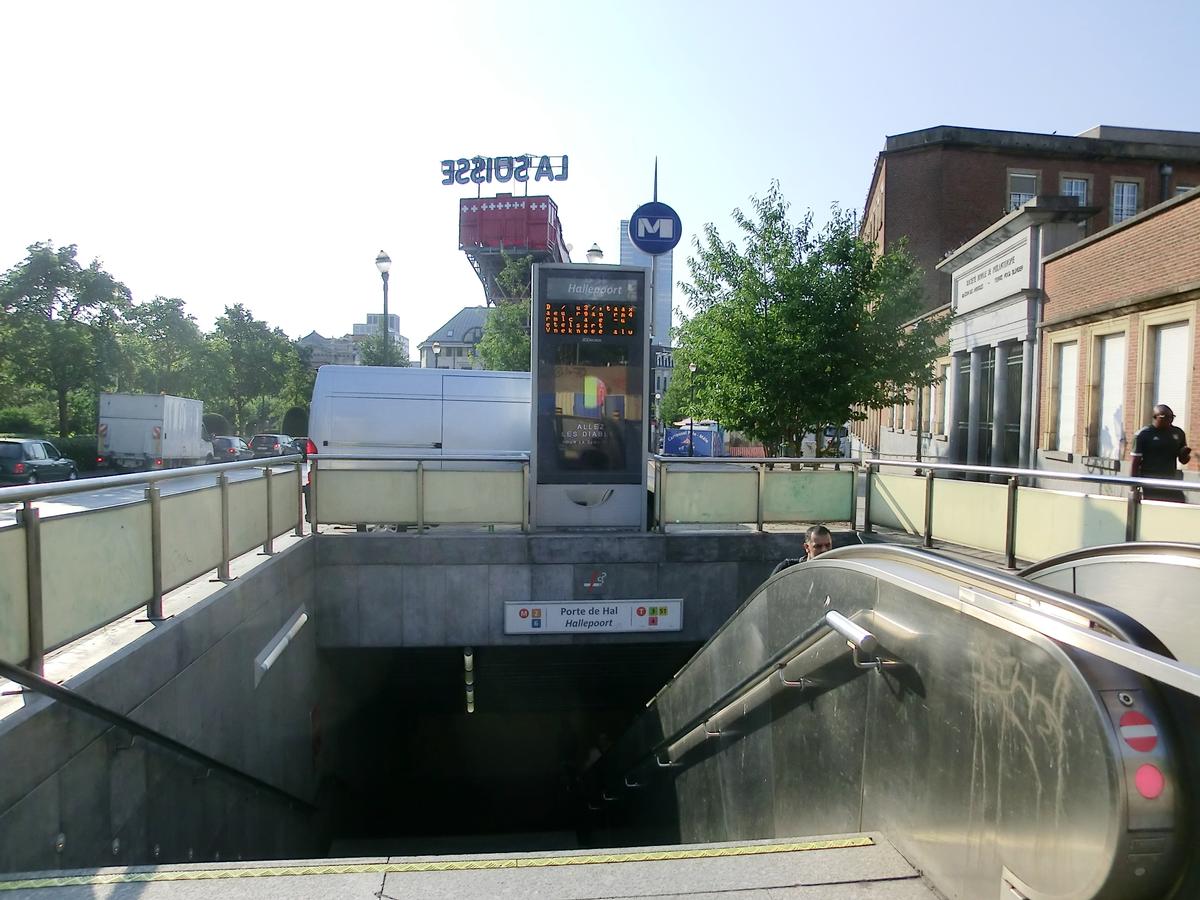
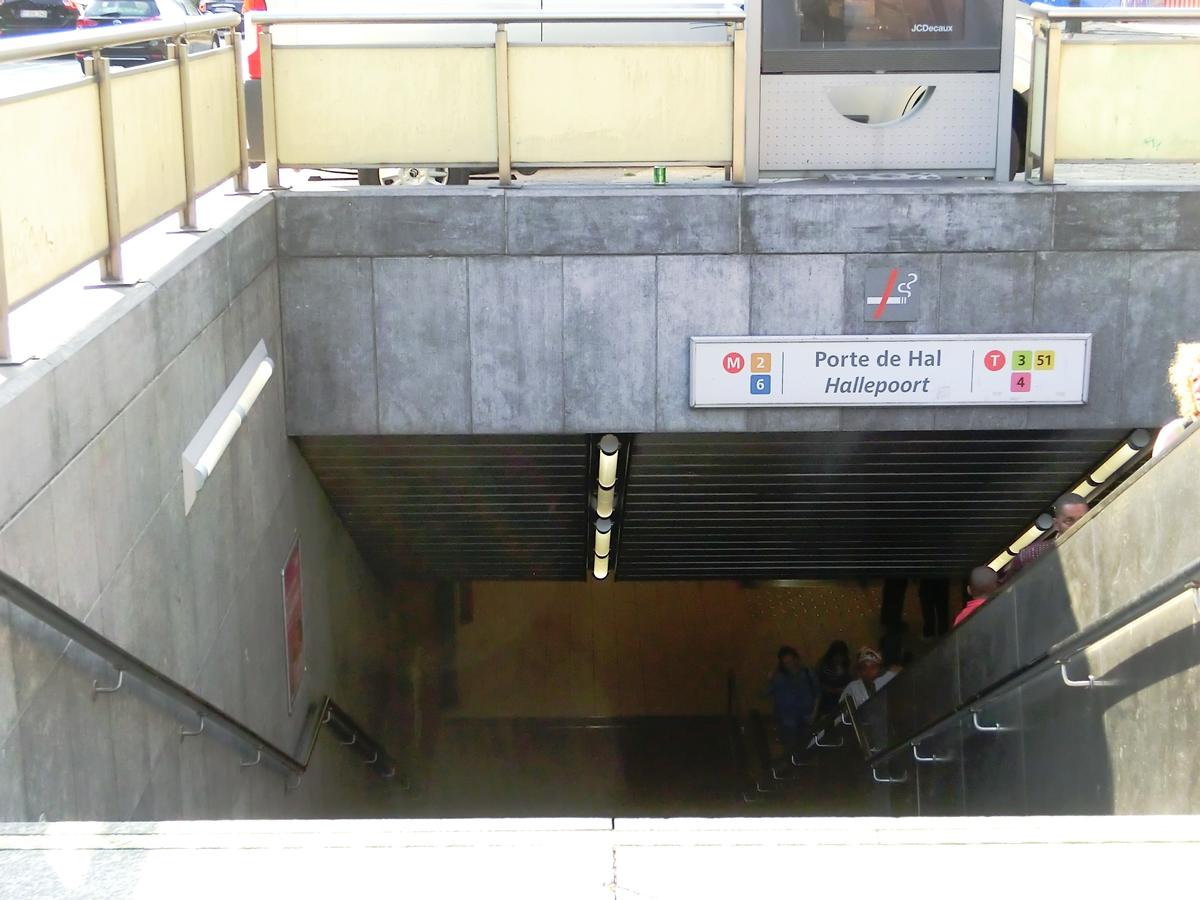
The Porte de Hal/Hallepoort metro station is a double Brussels metro/premetro station; one station on the southern segment of metro line 2/6 and one premetro station on the North-South axis. The metro station opened on 2 October 1988 and the premetro station opened on 3 December 1993 (the metro operates one level below the premetro lines).
It is located under the small ring in the municipality of Saint-Gilles/Sint-Gillis, next to the 14th century city gate of Porte de Hal/Hallepoort. The station contains several artworks by François Schuiten of metro trains and futuristic cityscapes, including some views of the medieval Porte de Hal city gate amongst skyscrapers. The station is one stop or about 10 minutes walk from Brussels-South Railway Station.
Text imported from Wikipedia article "Porte de Hal metro station" and modified on July 23, 2019 according to the CC-BY-SA 4.0 International license.
Participants
Currently there is no information available about persons or companies having participated in this project.
Relevant Web Sites

- About this
data sheet - Structure-ID
20053144 - Published on:
14/02/2010 - Last updated on:
05/02/2022


