
General Information
Project Type
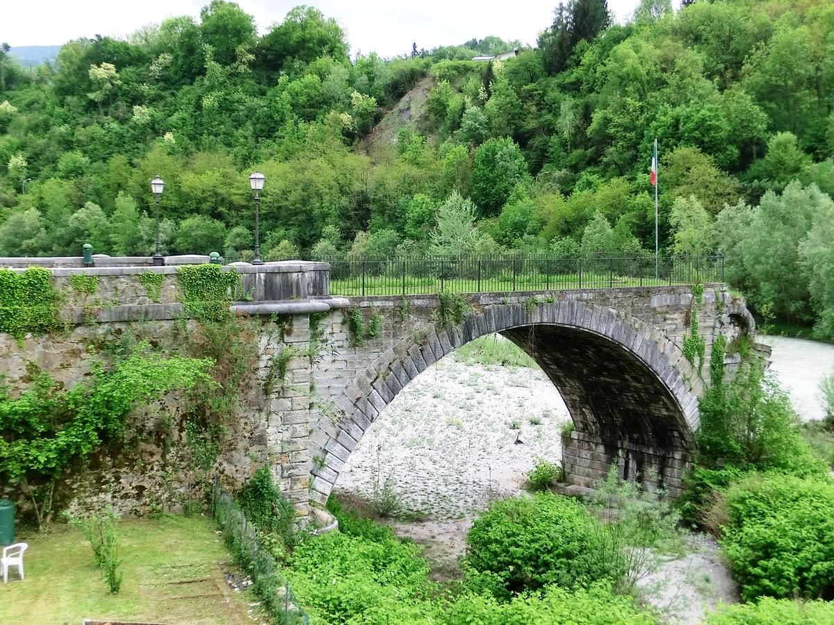
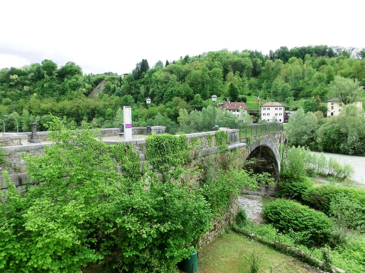
| Structure: |
Segmental arch bridge |
|---|---|
| Material: |
Masonry bridge |
| Function / usage: |
Road bridge |
Location
| Location: |
Belluno, Belluno, Veneto, Italy |
|---|---|
| Address: | Via Uniera del Zater |
| Coordinates: | 46° 8' 2.38" N 12° 13' 12.29" E |
Technical Information
There currently is no technical data available.
Chronology
| 1872 | Bridge rebuilt after three arches were destroyed by flood |
|---|---|
| 1882 | Bridge destroyed by flood. Only the first arch remains |
Participants
Currently there is no information available about persons or companies having participated in this project.
Relevant Web Sites
There currently are no relevant websites listed.
- About this
data sheet - Structure-ID
20075296 - Published on:
22/05/2018 - Last updated on:
22/05/2018
Structurae cooperates with


