
General Information
| Completion: | 13th century |
|---|---|
| Status: | in use |
Project Type
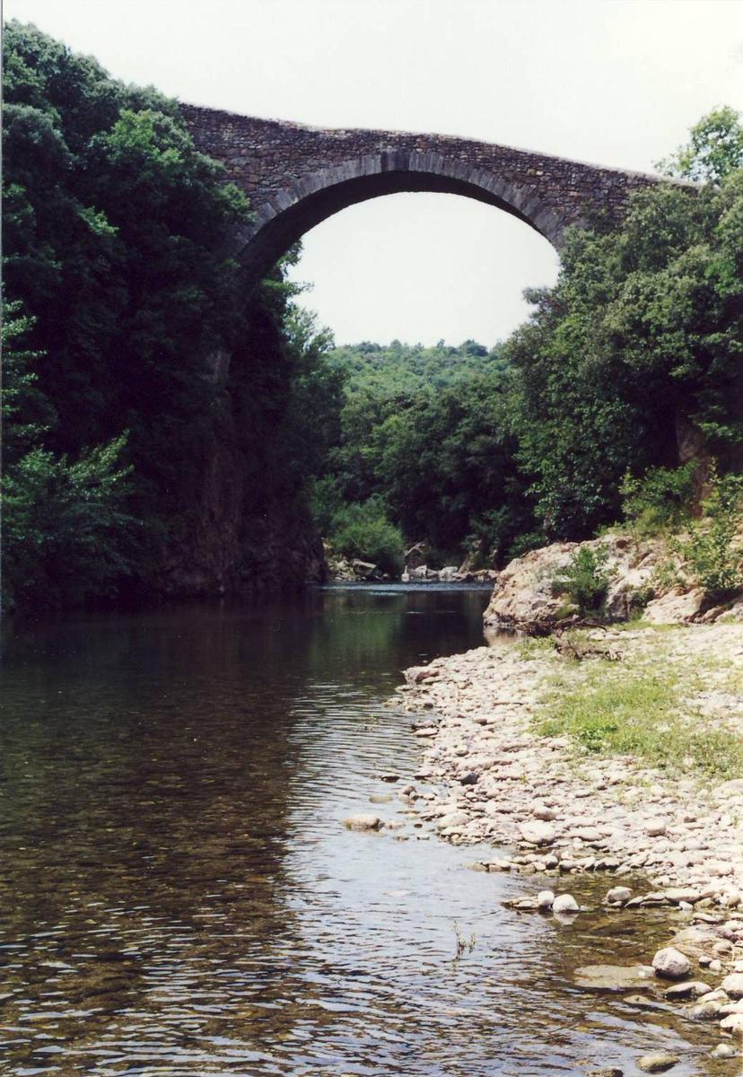
| Structure: |
Semi-circular arch bridge |
|---|---|
| Function / usage: |
Road bridge |
Location
| Location: |
Villemagne-l'Argentière, Hérault (34), Occitanie, France |
|---|---|
| Crosses: |
|
| Coordinates: | 43° 36' 53" N 3° 7' 10" E |
Technical Information
Dimensions
| main span | 14 m | |
| number of spans | 2 |
Excerpt from Wikipedia
The Pont du Diable de Villemagne-l'Argentière is a romanesque bridge in Villemagne-l'Argentière, in the Hérault department in France. It crosses the river Mare. It is built at a slope due to the different levels of the banks of the Mare.
History
The bridge dates from the 13th century. It was built to allow the shipping of coal and lignite from Graissessac to the royal glassworks at Hérépian.
Protection
The bridge was protected as an historic monument on the 27 May 1936. It is the property of the commune.
Text imported from Wikipedia article "Pont du Diable (Villemagne-l''Argentière)" and modified on July 22, 2019 according to the CC-BY-SA 4.0 International license.
Participants
Currently there is no information available about persons or companies having participated in this project.
Relevant Web Sites

Relevant Publications
- (2001): Les plus beaux ponts de France. Bonneton, Paris (France), pp. 50.
- (1988): Les ponts monuments historiques. Inventaire - description - histoire. Editions Brissaud, Poitiers (France), pp. 216.
- About this
data sheet - Structure-ID
20002733 - Published on:
20/01/2002 - Last updated on:
28/05/2021


