
General Information
| Completion: | 1891 |
|---|---|
| Status: | in use |
Project Type
| Structure: |
Deck truss bridge |
|---|---|
| Function / usage: |
original use: Road bridge current use: Pedestrian bridge (footbridge) |
Location
| Location: |
Rochester, Monroe County, New York, USA |
|---|---|
| Crosses: |
|
| Coordinates: | 43° 9' 45" N 77° 36' 56" W |
Technical Information
There currently is no technical data available.
Excerpt from Wikipedia
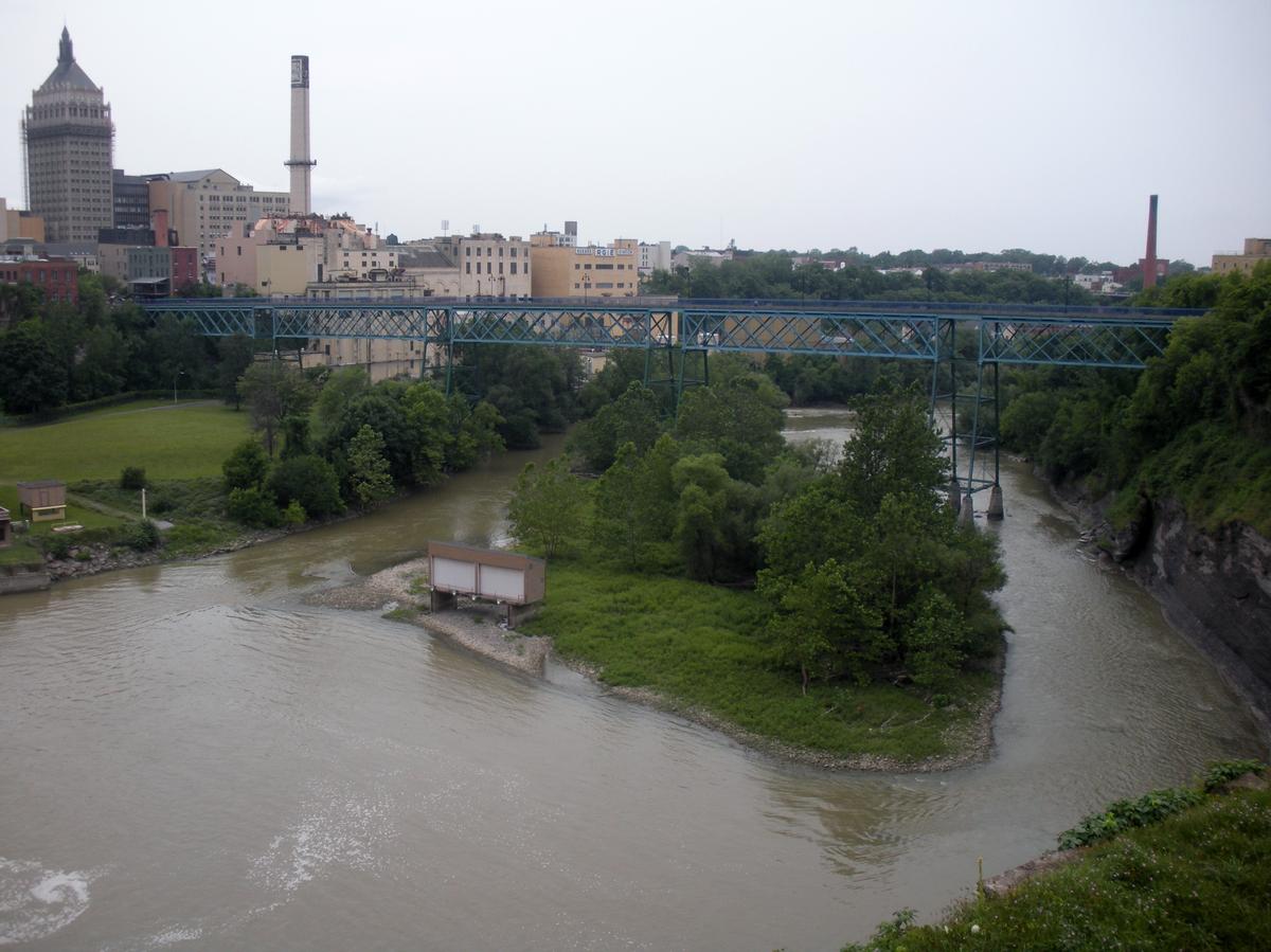
The Pont De Rennes bridge is located in the Brown's Race Historic District of Rochester New York at the base of the High Falls where it spans the Genesee River. The Pont De Rennes bridge formerly carried Platt Street over the river but was converted to pedestrian use in 1982 as part of a redevelopment of the High Falls area as an entertainment area. The bridge was renamed the Pont De Rennes for Rochester's sister city Rennes in France as part of the conversion. The Pont De Rennes bridge provides unobstructed views of the High Falls and downstream gorge.
The bridge was designed by Leffert Buck, who also designed the Williamsburg Bridge in New York City.
Text imported from Wikipedia article "Pont De Rennes bridge" and modified on July 23, 2019 according to the CC-BY-SA 4.0 International license.
Participants
- Leffert Lefferts Buck (designer)
Relevant Web Sites

- About this
data sheet - Structure-ID
20063350 - Published on:
29/07/2012 - Last updated on:
05/02/2016


