
General Information
| Completion: | 1 December 1913 |
|---|---|
| Status: | in use |
Project Type
| Function / usage: |
Below grade metro or light-rail station |
|---|---|
| Structure: |
Underground structure |
Location
| Location: |
Buenos Aires, Buenos Aires, Argentina |
|---|---|
| Part of: | |
| Coordinates: | 34° 36' 30.34" S 58° 22' 19.69" W |
Technical Information
There currently is no technical data available.
Excerpt from Wikipedia
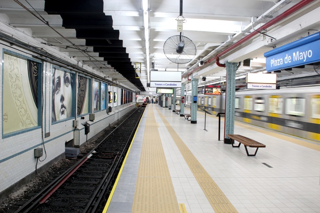
Plaza de Mayo is a station on Line A of the Buenos Aires Underground. This station belonged to the first section of line opened on 1 December 1913, linking the station with the station of Plaza Miserere.
Overview
It lies at the intersection of Hipólito Yrigoyen and Defensa, in the neighborhood of Montserrat. It's a busy station because it is the head of the line A and is in the historic centre of Buenos Aires. Nearby are some of the most important public buildings in the country such as the Casa Rosada, the Ministry of Economy, the Metropolitan Cathedral and the Buenos Aires City Hall. There is also the Plaza de Mayo, tourist and protest centre where the Pirámide de Mayo is located. A few hundred metres is located the Puerto Madero district, another of the city's tourist zones.
The station was named in honor of Plaza de Mayo, the most important square of the city. The Plaza was in colonial times the main square (Plaza Mayor) around which the city was formed, always being the center of popular demand.
In 1997 the station was declared a national historic monument.
Text imported from Wikipedia article "Plaza de Mayo (Buenos Aires Underground)" and modified on July 23, 2019 according to the CC-BY-SA 4.0 International license.
Participants
Currently there is no information available about persons or companies having participated in this project.
Relevant Web Sites

- About this
data sheet - Structure-ID
20053527 - Published on:
20/02/2010 - Last updated on:
23/03/2021


