
General Information
Project Type
| Structure: |
Embankment dam Earthfill dam |
|---|---|
| Function / usage: |
Irrigation & industrial water dam |
Location
| Location: |
Conejos County, Colorado, USA |
|---|---|
| Coordinates: | 37° 21' 4.10" N 106° 32' 50.28" W |
Technical Information
Dimensions
| height | 50.3 m | |
| crest length | 449.6 m |
Excerpt from Wikipedia
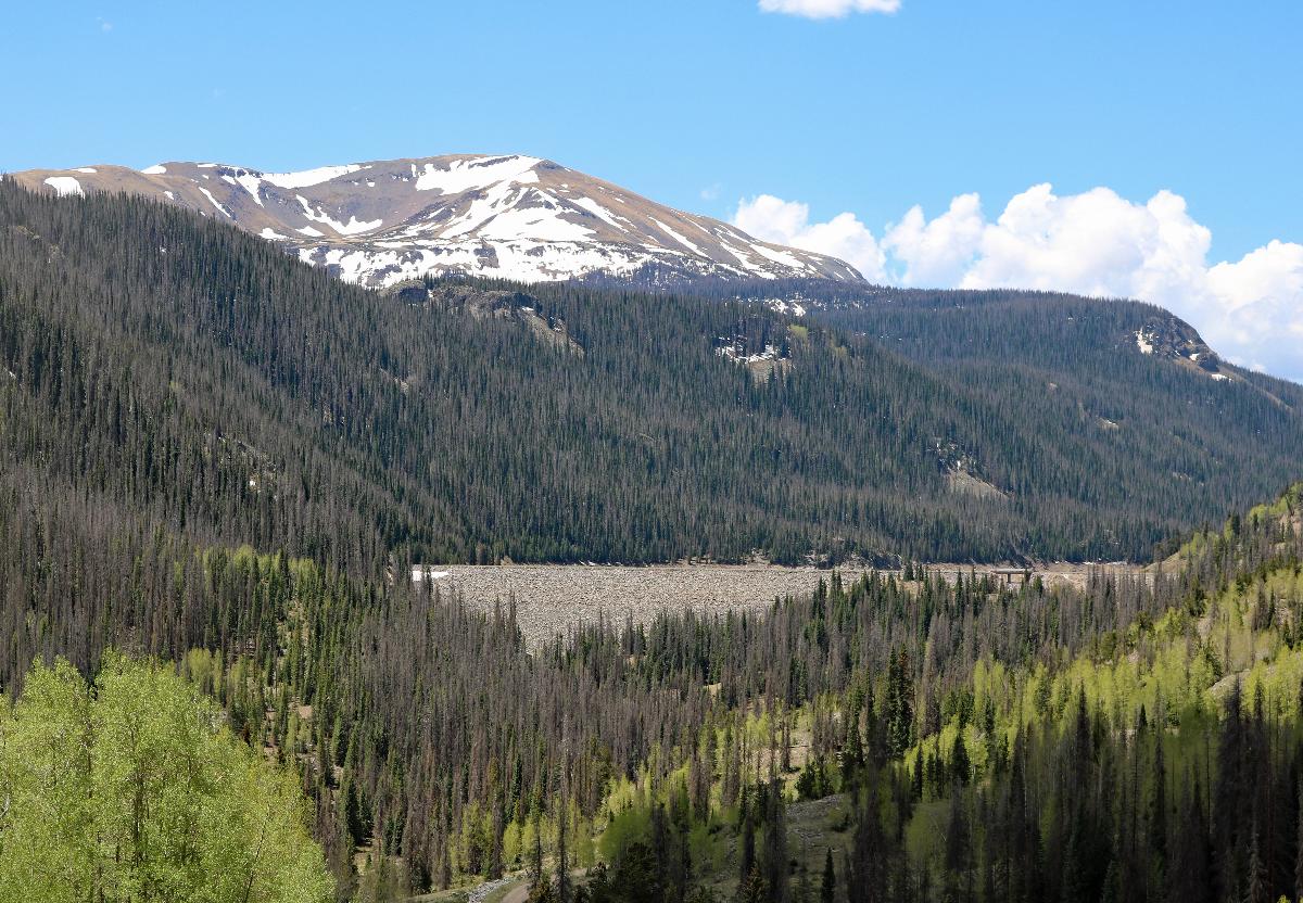
Platoro Dam (National ID # CO82911) is a dam in Conejos County, Colorado.
The earthen dam was constructed between 1949 and 1951 by the United States Bureau of Reclamation with a height of 165 feet (50 m), and 1,475 feet (450 m) long at its crest. It impounds the Conejos River, a tributary of the Rio Grande, for irrigation water storage as part of the larger San Luis Valley Project. The dam is owned by the Bureau, and operated by the local Conejos Water Conservancy.
The reservoir it creates, Platoro Reservoir, has a normal water surface of 1.5 square miles (3.9 km²), and a maximum capacity of 53,506 acre-feet (65,999,000 m³). Recreation includes fishing, camping, boating and hunting, although use is light because of the remote, high mountain valley location and the short season.
Text imported from Wikipedia article "Platoro Dam" and modified on November 15, 2021 according to the CC-BY-SA 4.0 International license.
Participants
Currently there is no information available about persons or companies having participated in this project.
Relevant Web Sites

- About this
data sheet - Structure-ID
20050353 - Published on:
13/12/2009 - Last updated on:
07/11/2021


