General Information
| Name in local language: | Puente Pedro de Valdivia |
|---|---|
| Beginning of works: | 1938 |
| Completion: | 1953 |
| Status: | in use |
Project Type
| Structure: |
Arch bridge |
|---|---|
| Material: |
Reinforced concrete bridge |
| Plan view: |
Structurae Plus/Pro - Subscribe Now! |
| Function / usage: |
Road bridge |
| Material: |
Structurae Plus/Pro - Subscribe Now! |
Location
Technical Information
Dimensions
| width | 10.5 m | |
| total length | 238.7 m | |
| number of spans | 5 | |
| number of lanes | 2 | |
| piers | number | 4 |
Materials
| piers |
reinforced concrete
|
|---|---|
| arches |
reinforced concrete
|
| abutments |
reinforced concrete
|
Excerpt from Wikipedia
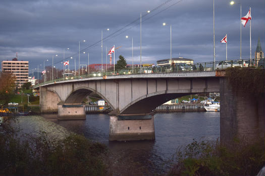
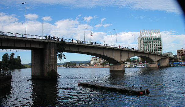
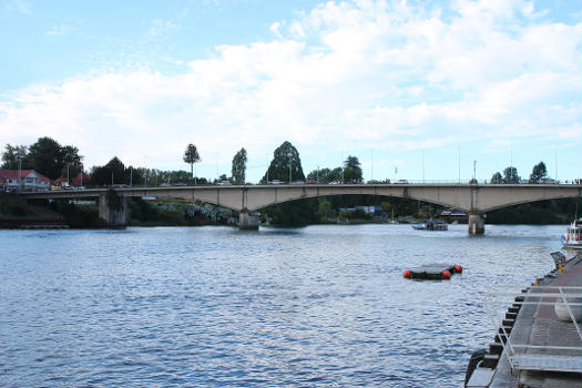
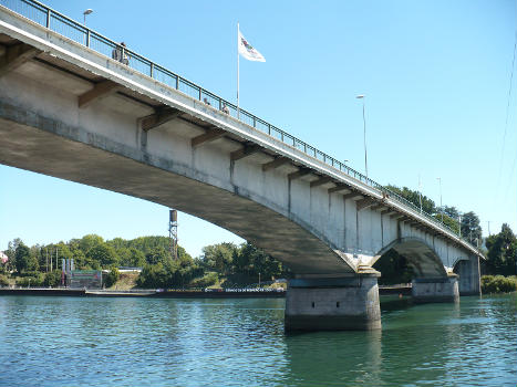
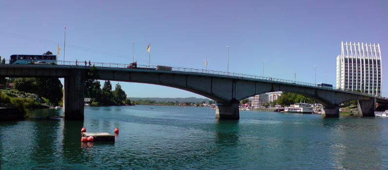
Pedro de Valdivia Bridge is an arch bridge spanning the Valdivia River. It connects downtown Valdivia with Teja Island, which houses the main campus of the Austral University of Chile. Together with Río Cruces Bridge it allows connection from Valdivia to the coastal town Niebla.
Pedro de Valdivia Bridge is named in honour of the Spanish conquistador Pedro de Valdivia. It was opened in 1954 and survived the 1960 Valdivia earthquake, the greatest earthquake ever recorded, while many nearby buildings collapsed. In the months after the earthquake it also survived the effects of the Riñihuazo flood.
Text imported from Wikipedia article "Pedro de Valdivia Bridge" and modified on January 3, 2025 according to the CC-BY-SA 4.0 International license.
Participants
- Federico Wiesse Isense (designer)
Relevant Web Sites
- About this
data sheet - Structure-ID
20090163 - Published on:
31/12/2024 - Last updated on:
01/01/2025

