General Information
| Other name(s): | Pont Papineau-Leblanc |
|---|---|
| Beginning of works: | August 1968 |
| Completion: | October 1969 |
| Status: | in use |
Project Type
| Structure: |
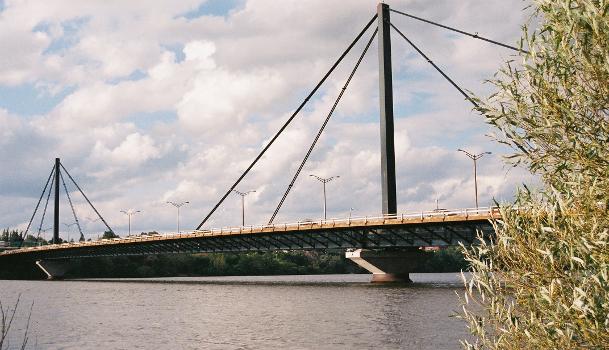
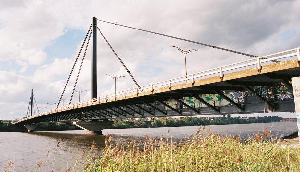
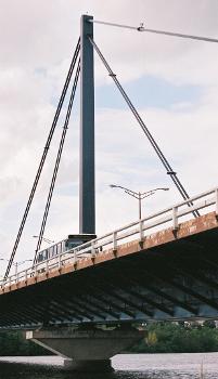
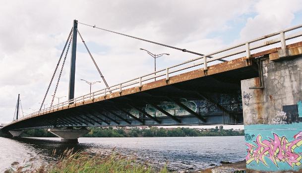
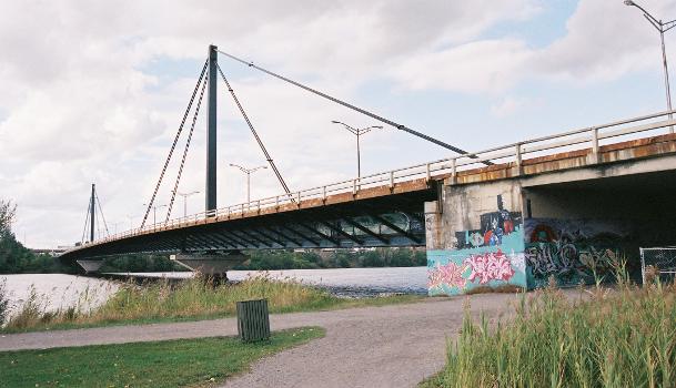
Cable-stayed bridge with fan system |
|---|---|
| Function / usage: |
Road bridge |
| Material: |
Steel bridge |
| Structure: |
Three-span cable-stayed bridge |
| Secondary structure(s): |
Structurae Plus/Pro - Subscribe Now! |
Location
| Location: |
Montreal, Montréal, Quebec, Canada Laval, Laval, Quebec, Canada |
|---|---|
| Crosses: |
|
| Coordinates: | 45° 34' 35.24" N 73° 40' 1.73" W |
Technical Information
Dimensions
| main span | 241.00 m | |
| total length | 421.00 m | |
| deck | deck width | 27.00 m |
Materials
| deck |
steel
|
|---|
Excerpt from Wikipedia
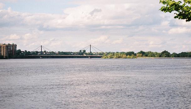
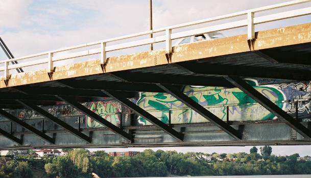
The Papineau-Leblanc Bridge was one of the first cable-stayed spans in North America. It is part of Quebec Autoroute 19 and is one of the connections between Laval and Montreal, Quebec, Canada, spanning Rivière des Prairies. It was fabricated from weathering steel and has an orthotropic deck. The freeway ends abruptly at the southern end of the bridge at the intersection of Henri Bourassa Boulevard, where Autoroute 19 follows Avenue Papineau down to Quebec Autoroute 40.
The Leblanc portion of the name comes from the name of a street in Laval that was expropriated to build the autoroute. That street was named after Alpha Leblanc, a local landowner. Portions of that street remain on both sides of the autoroute.
In 2000, a proposition to rename the bridge after the late Pietro Rizzuto was initially approved, then rejected by the Commission de Toponymie du Québec, which ruled that the name Papineau-Leblanc was already entrenched in local culture and non-controversial. Most locals simply refer to this bridge as Papineau.
Text imported from Wikipedia article "Papineau-Leblanc Bridge" and modified on July 23, 2019 according to the CC-BY-SA 4.0 International license.
Participants
Relevant Web Sites
Relevant Publications
- (1990): Les grands ponts du monde: Hors d'Europe. Brissaud, Poitiers (France), pp. 73.
- About this
data sheet - Structure-ID
20004888 - Published on:
08/09/2002 - Last updated on:
02/03/2022

