
General Information
Project Type
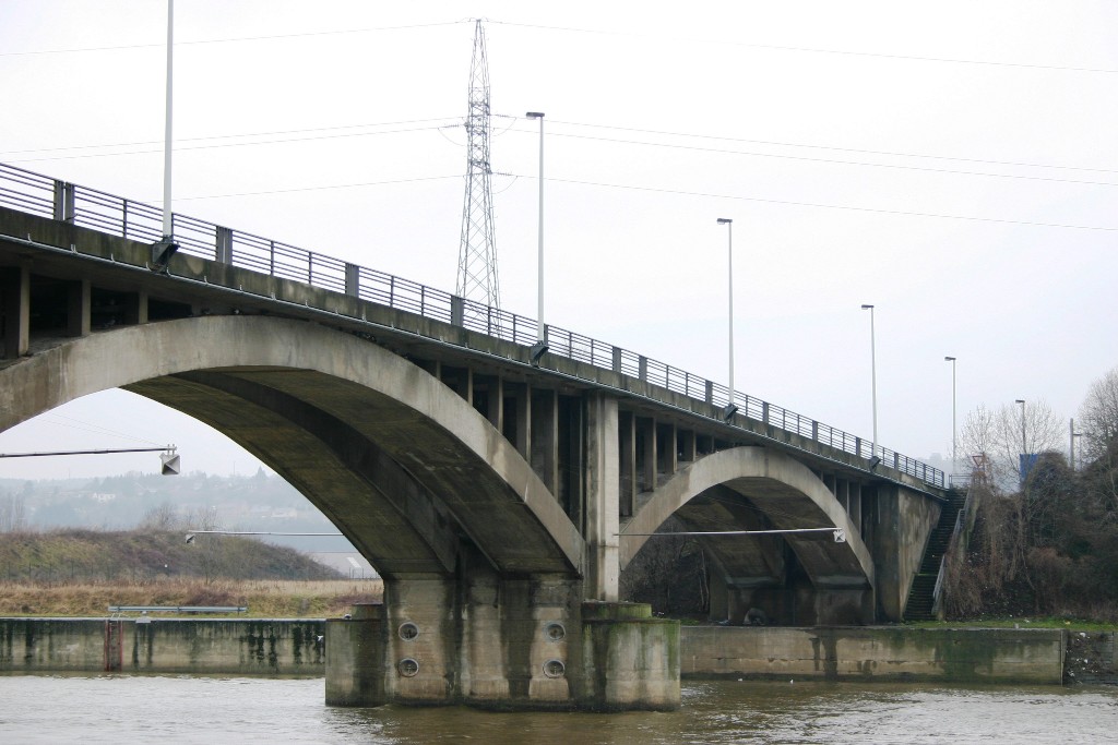
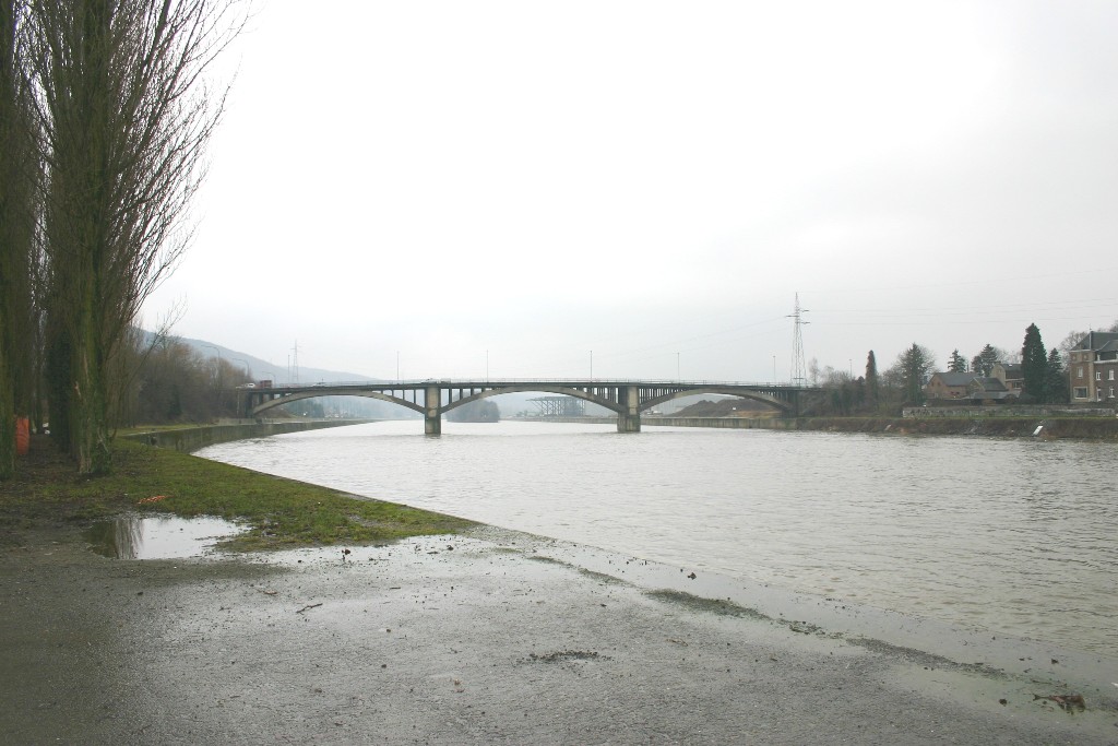
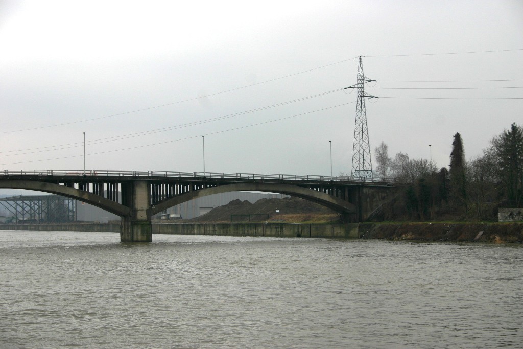
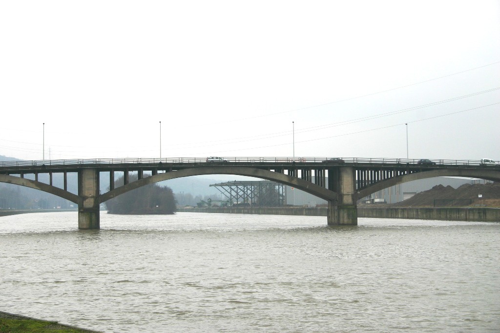
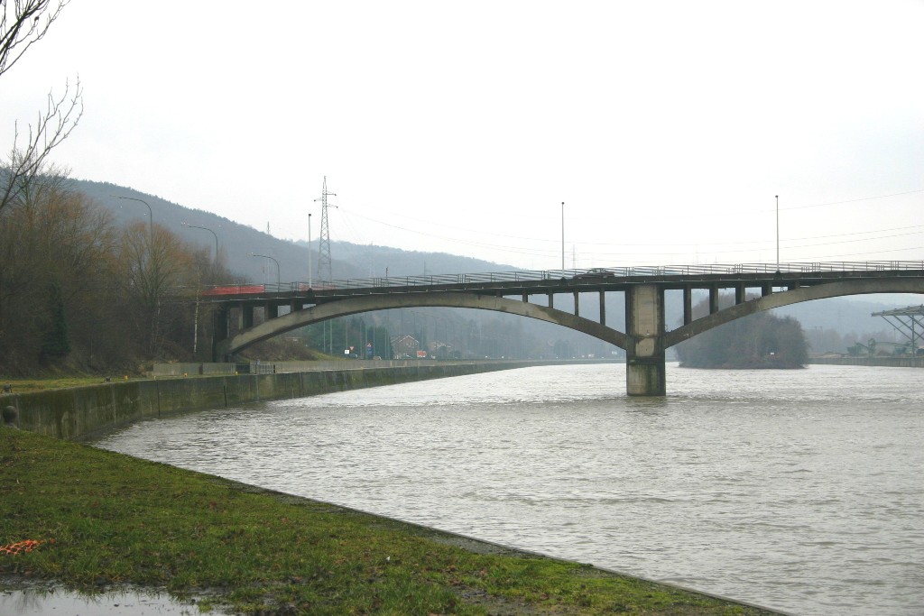
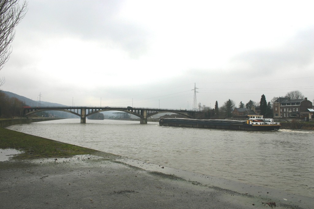
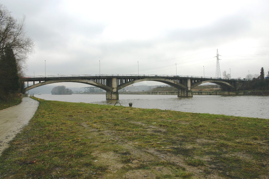
| Structure: |
Deck arch bridge |
|---|---|
| Function / usage: |
Road bridge |
| Material: |
Reinforced concrete bridge Structurae Plus/Pro - Subscribe Now! |
Location
| Location: |
Ombret-Rawsa, Liège, Wallonia, Belgium Amay, Liège, Wallonia, Belgium |
|---|---|
| Address: | N 644 |
| Crosses: |
|
| Replaces: |
Pont d'Ombret (1875)
|
| Coordinates: | 50° 32' 38" N 5° 19' 57" E |
Technical Information
Dimensions
| total length | 145.60 m | |
| span lengths | 44 m - 48 m - 44 m | |
| number of spans | 3 | |
| roadway / carriageway width | 2 x 3.50 m |
Materials
| arches |
reinforced concrete
|
|---|---|
| abutments |
reinforced concrete
|
| piers on arch |
reinforced concrete
|
Participants
Currently there is no information available about persons or companies having participated in this project.
Relevant Web Sites
There currently are no relevant websites listed.
Relevant Publications
- (1999): Ponts d'hier et d'aujourd'hui. Le Pays Hutois. Ministère de l'Equipement et des Transports, Namur (Belgium), pp. 128-130.
- About this
data sheet - Structure-ID
20009869 - Published on:
06/08/2003 - Last updated on:
05/02/2016
Structurae cooperates with


