
General Information
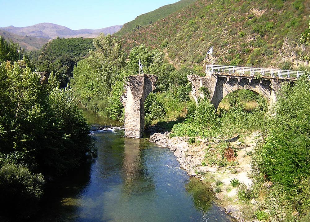
| Completion: | 17th century |
|---|---|
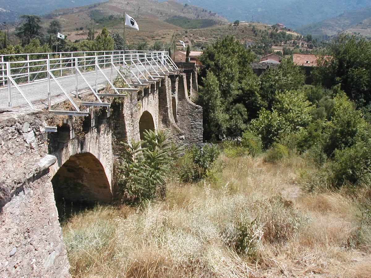
| Status: | in ruins |
Project Type
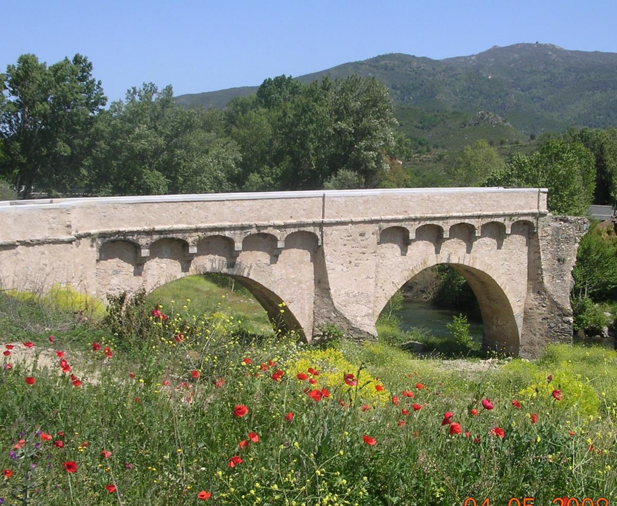
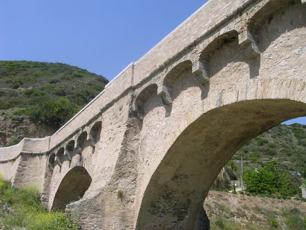
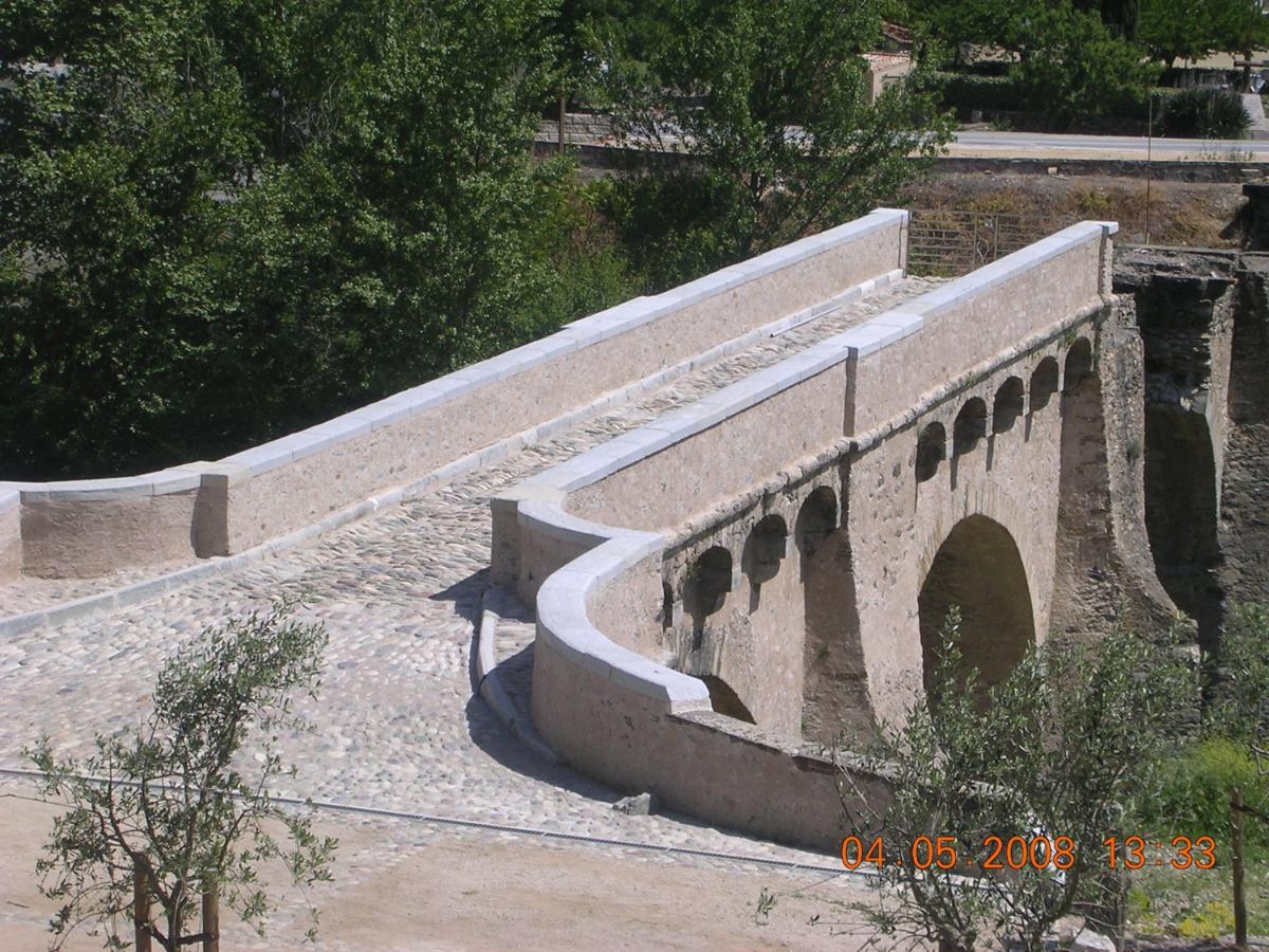
| Structure: |
Semi-circular arch bridge |
|---|---|
| Function / usage: |
Road bridge |
| Material: |
Masonry bridge Structurae Plus/Pro - Subscribe Now! |
Location
| Location: |
Castello-di-Rostino, Haute-Corse (2B), Corsica, France |
|---|---|
| Crosses: |
|
| Coordinates: | 42° 29' 10.43" N 9° 16' 50.02" E |
Technical Information
Dimensions
| number of spans | 5 |
Materials
| piers |
stone
|
|---|---|
| arches |
stone
|
Chronology
|
8 May 1769
— 9 May 1769 |
Battle of Ponte-Nuovo |
|---|---|
| 1778 — 1780 | Widening |
Notes
Bridge has been left in ruins.
Participants
Currently there is no information available about persons or companies having participated in this project.
Relevant Web Sites
There currently are no relevant websites listed.
Relevant Publications
- (2001): Les plus beaux ponts de France. Bonneton, Paris (France), pp. 48.
- (1988): Les ponts monuments historiques. Inventaire - description - histoire. Editions Brissaud, Poitiers (France), pp. 135.
- About this
data sheet - Structure-ID
20002110 - Published on:
13/10/2001 - Last updated on:
28/05/2021
Structurae cooperates with


