
General Information
| Completion: | 15 July 1935 |
|---|---|
| Status: | in use |
Project Type
| Function / usage: |
Motorway bridge / freeway bridge |
|---|---|
| Structure: |
Deck truss bridge |
| Material: |
Steel bridge |
| Support conditions: |
for registered users |
| Material: |
Structurae Plus/Pro - Subscribe Now! |
Awards and Distinctions
| 1935 |
First Place
for registered users |
|---|
Location
| Location: |
Niagara Falls, Niagara County, New York, USA Grand Island, Erie County, New York, USA |
|---|---|
| Address: | I-190 |
| Crosses: |
|
| Next to: |
North Grand Island Bridge (1965)
|
| Coordinates: | 43° 4' 27.12" N 78° 59' 25.79" W |
| Coordinates: | 43° 3' 48.46" N 78° 59' 26.13" W |
Technical Information
Dimensions
| main span | 152.4 m | |
| total length | 1 234.81 m | |
| deck width | 7.5 m |
Cost
| cost of construction | United States dollar 1 296 63984 |
Materials
| piers |
reinforced concrete
|
|---|---|
| truss |
steel
|
Excerpt from Wikipedia
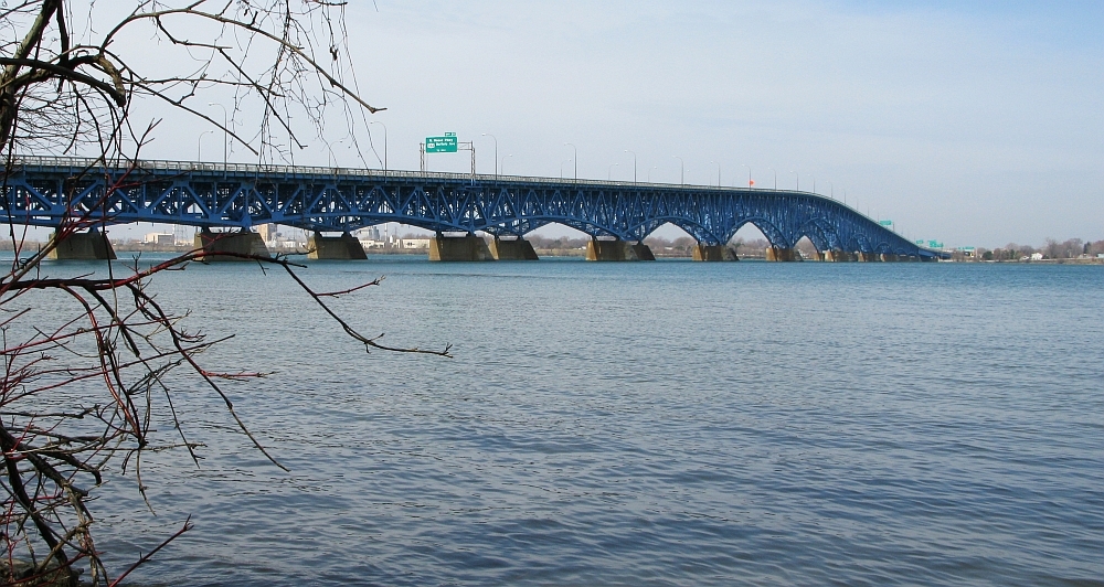
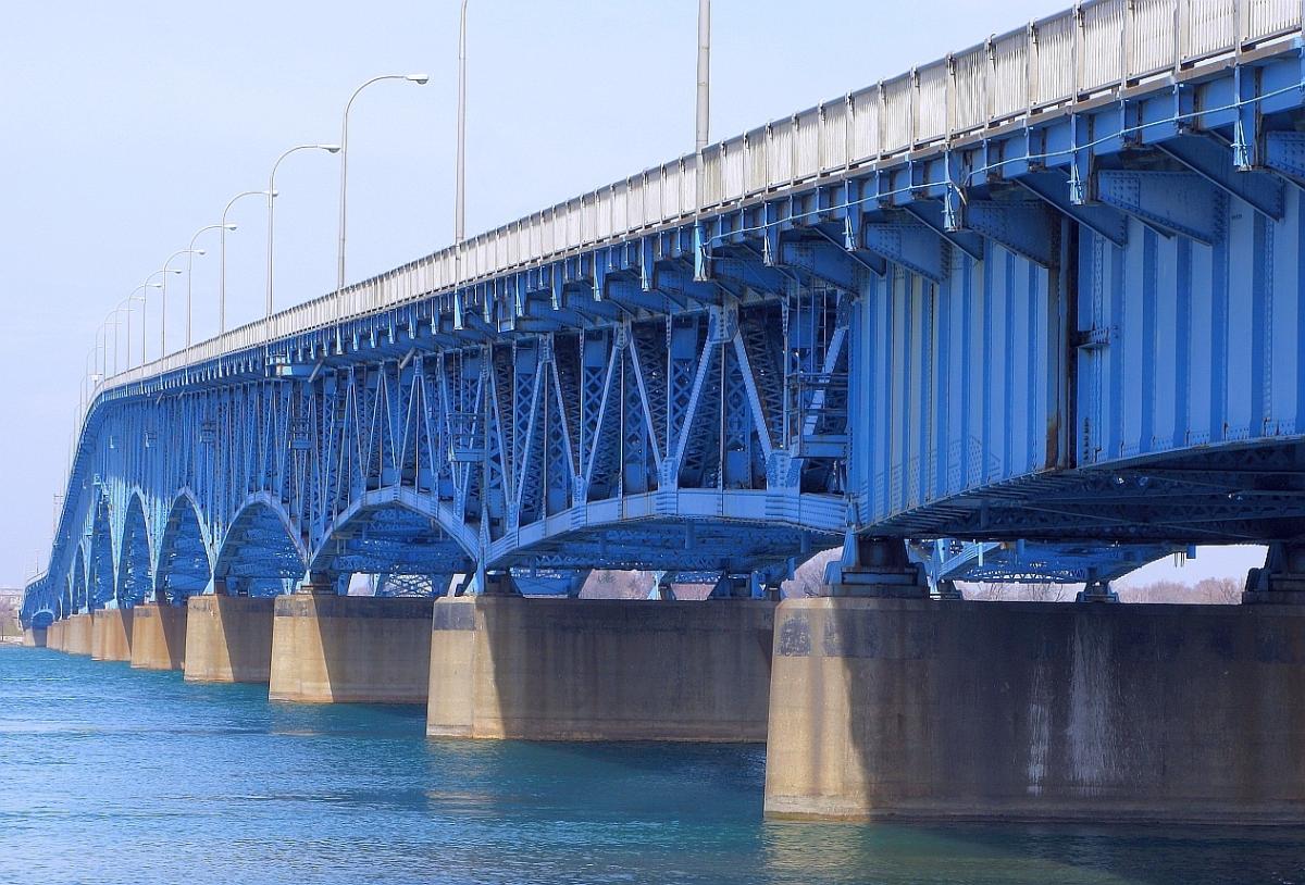
The North Grand Island Bridge is a pair of twin two-lane truss arch bridges spanning the Niagara River between Grand Island and Niagara Falls in New York, United States. Each bridge carries one direction of Interstate 190 (I-190). Both crossings are operated by the New York State Thruway Authority as part of the Niagara Thruway. The northbound span opened in 1935; the southbound span was finished in 1965.
A southbound-only toll is presently collected via open-road cashless tolling. The open-road tolling began operating on March 29, 2018, replacing conventional toll booths which were on Grand Island The tollbooths were dismantled, and drivers are no longer able to pay cash at the bridge. Instead, drivers will travel beneath an overhead gantry where their E-ZPass transponder will be detected and charged. Drivers without an E-ZPass will have a picture of their license plate taken, and the toll will be mailed to them.
Text imported from Wikipedia article "North Grand Island Bridge" and modified on April 6, 2021 according to the CC-BY-SA 4.0 International license.
Participants
Relevant Web Sites

- About this
data sheet - Structure-ID
20023806 - Published on:
16/10/2006 - Last updated on:
06/04/2021


