
General Information
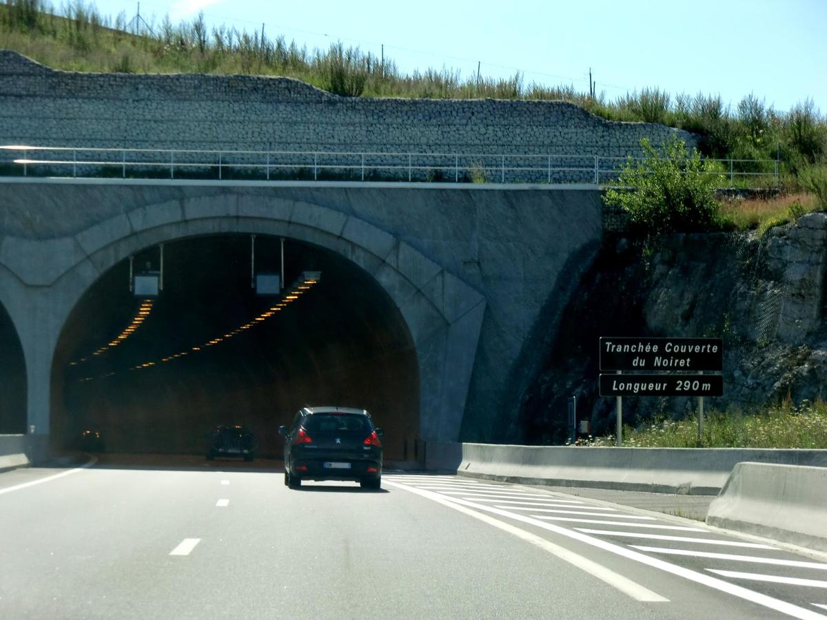
| Other name(s): | Tranchée couverte de Noiret |
|---|---|
| Completion: | 2008 |
| Status: | in use |
Project Type
| Function / usage: |
Road tunnel |
|---|---|
| Construction method: |
Cut-and-cover method |
| Structure: |
Tunnel |
Location
| Location: |
Cruseilles, Haute-Savoie (74), Auvergne-Rhône-Alpes, France |
|---|---|
| Address: | A41 motorway |
| Part of: | |
| Coordinates: | 46° 1' 0" N 6° 6' 16" E |
Technical Information
Dimensions
| length | 290 m |
Chronology
| 28 December 2008 | Opened to traffic |
|---|
Participants
Owner
Relevant Web Sites
There currently are no relevant websites listed.
- About this
data sheet - Structure-ID
20018659 - Published on:
24/11/2005 - Last updated on:
28/05/2021
Structurae cooperates with


