
General Information
Project Type
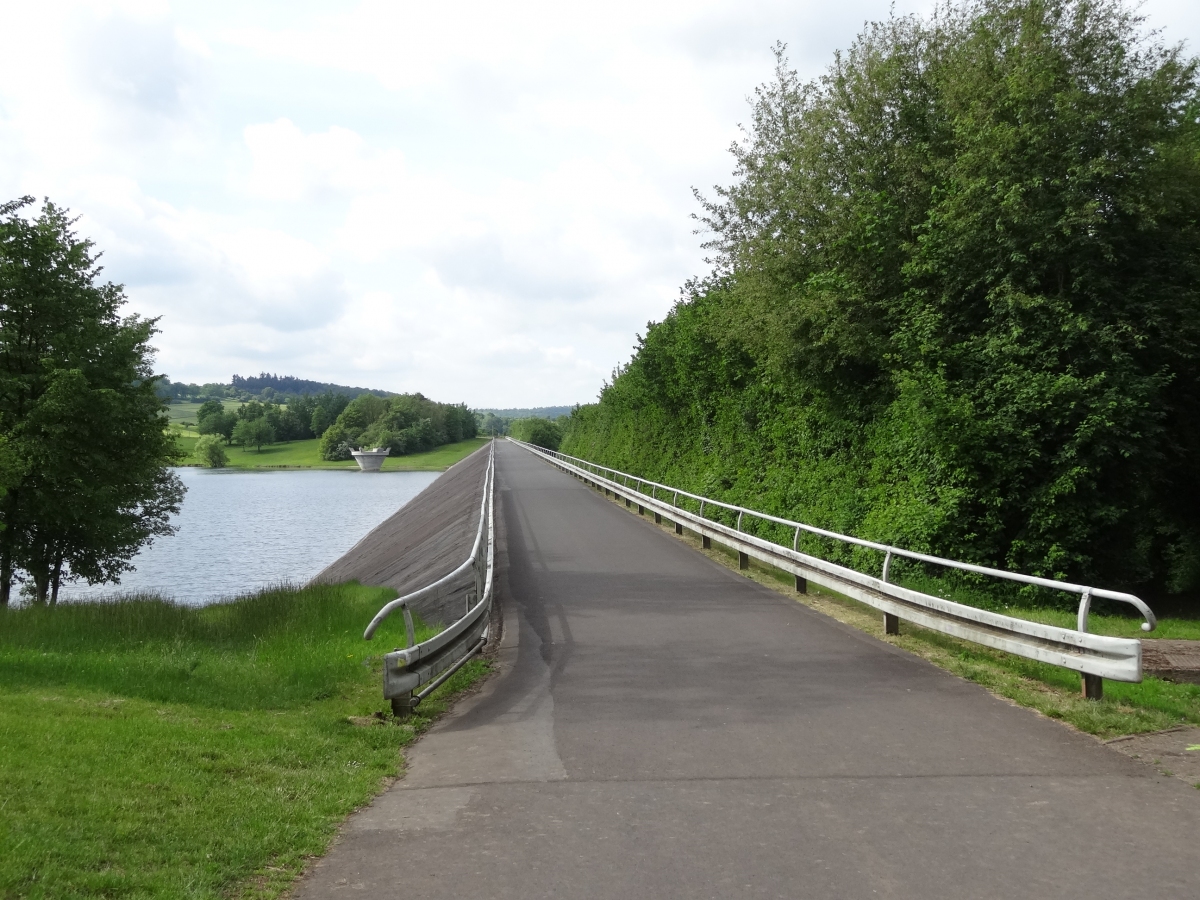
| Function / usage: |
Flood-control dam |
|---|---|
| Structure: |
Rockfill dam |
Location
| Location: |
Schotten, Vogelsbergkreis, Hesse, Germany |
|---|---|
| Coordinates: | 50° 28' 41.20" N 9° 5' 37.96" E |
Technical Information
Dimensions
| height | 35.50 m | |
| retained water volume | 6 740 000 m³ | |
| crest length | 500 m | |
| dam volume | 330 000 m³ |
Participants
Currently there is no information available about persons or companies having participated in this project.
Relevant Web Sites
There currently are no relevant websites listed.
- About this
data sheet - Structure-ID
20020762 - Published on:
21/04/2006 - Last updated on:
23/10/2020
Structurae cooperates with


