
General Information
| Completion: | 1964 |
|---|---|
| Status: | in use |
Project Type
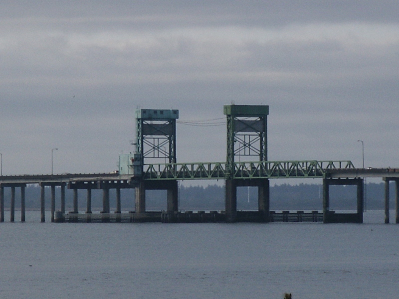
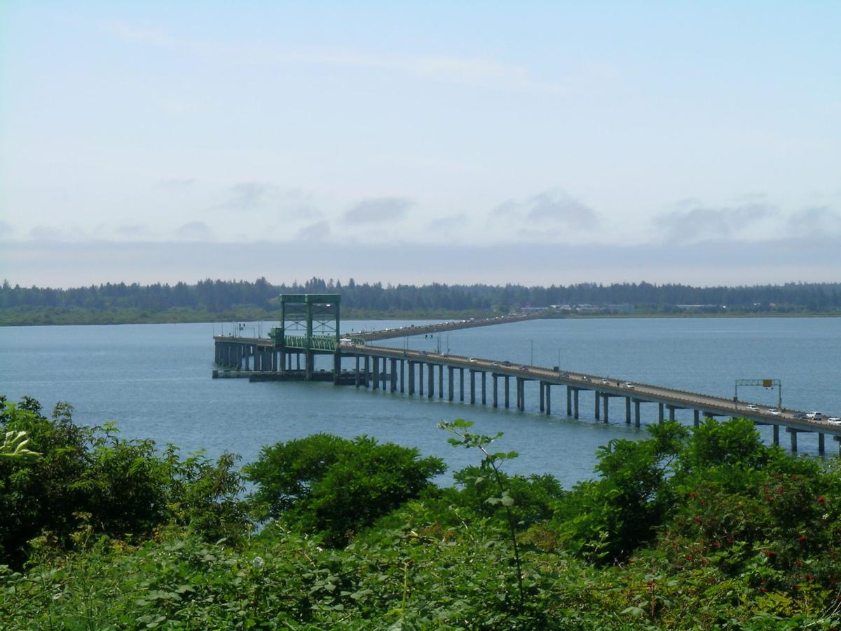
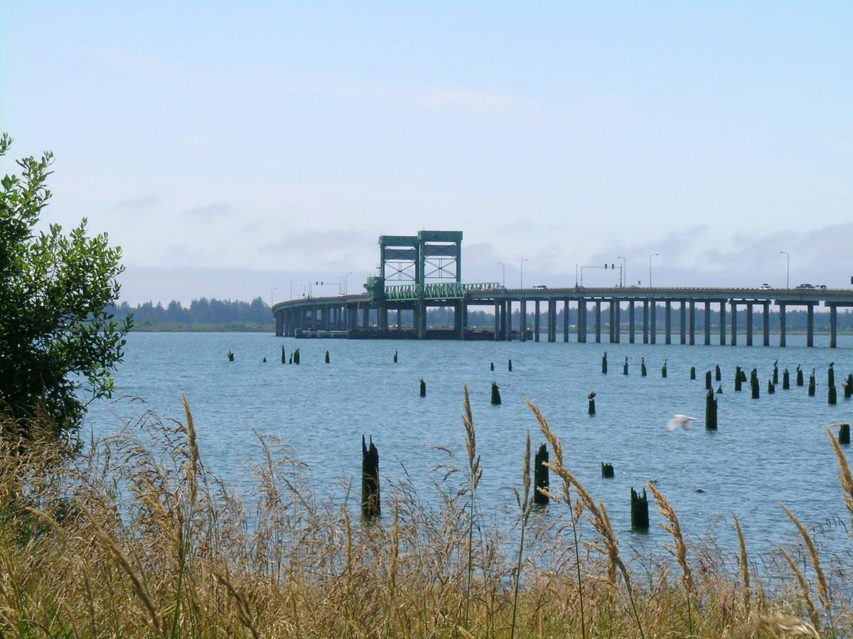
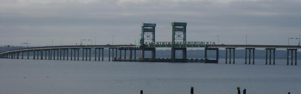
| Function / usage: |
Road bridge |
|---|---|
| Structure: |
Vertical lift bridge |
Location
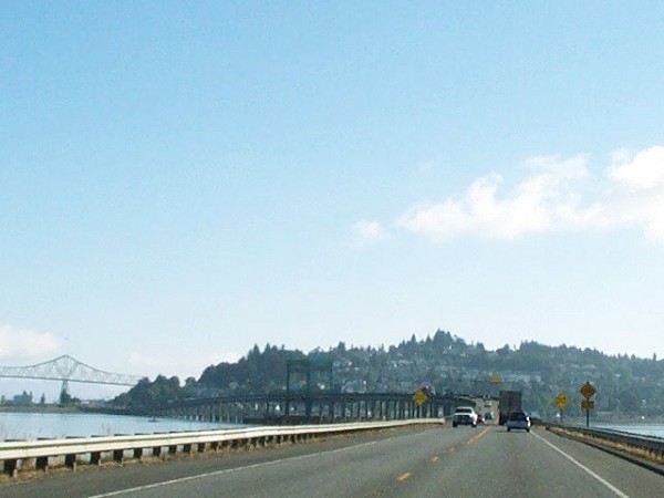
| Location: |
Astoria, Clatsop County, Oregon, USA |
|---|---|
| Carries: |
|
| Next to: |
Lewis and Clark River Bridge (1924)
|
| Coordinates: | 46° 10' 35.57" N 123° 52' 5.91" W |
Technical Information
Dimensions
| total length | 1 280.16 m |
Participants
Currently there is no information available about persons or companies having participated in this project.
Relevant Web Sites
There currently are no relevant websites listed.
- About this
data sheet - Structure-ID
20017505 - Published on:
23/08/2005 - Last updated on:
05/02/2016
Structurae cooperates with


