
General Information
| Status: | in ruins |
|---|
Project Type
| Function / usage: |
Castle |
|---|
Location
| Location: |
Warrenpoint, Newry, Mourne and Down, Northern Ireland, United Kingdom |
|---|---|
| Coordinates: | 54° 6' 53.28" N 6° 16' 58.08" W |
Technical Information
There currently is no technical data available.
Excerpt from Wikipedia
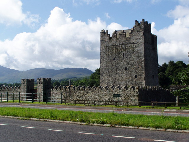
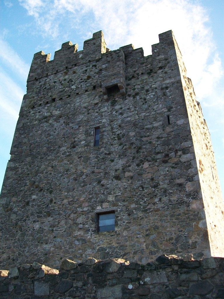
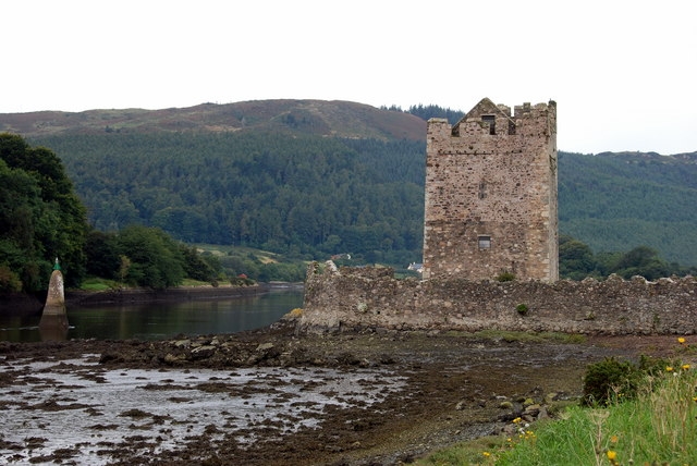
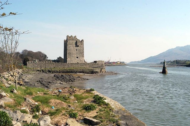
Narrow Water Castle (Irish:Caisleán an Chaoil; Ulster-Scots: Narra Wattèr Castle) is a famous 16th-century tower house and bawn near Warrenpoint in Northern Ireland. It is beside the A2 road and on the County Down bank of the Clanrye River, which enters Carlingford Lough a mile to the south. Narrow Water Castle was given into state care in 1956. It is a state care historic monument in the townland of Narrow Water, in Newry and Mourne District Council district, at grid ref: J1256 1939.
History
Nowadays, cruises past the castle are a regular feature throughout the summer months.
On 27 August 1979, 18 British Army soldiers were killed by a Provisional IRA ambush at Narrow Water Castle (see Narrow Water ambush). It was the greatest single loss of life for the British Army during The Troubles.
Bridge
The proposed Narrow Water Bridge was to be located close south of the Castle, but in July 2013 Louth County Council announced that the tender process had produced cost estimates significantly in excess of the funding available. They decided therefore to put the project on hold.
Text imported from Wikipedia article "Narrow Water Castle" and modified on July 23, 2019 according to the CC-BY-SA 4.0 International license.
Participants
Currently there is no information available about persons or companies having participated in this project.
Relevant Web Sites

- About this
data sheet - Structure-ID
20047729 - Published on:
18/08/2009 - Last updated on:
25/10/2022


