
General Information
| Completion: | 1939 |
|---|---|
| Status: | in use |
Project Type
| Function / usage: |
Lock |
|---|
Location
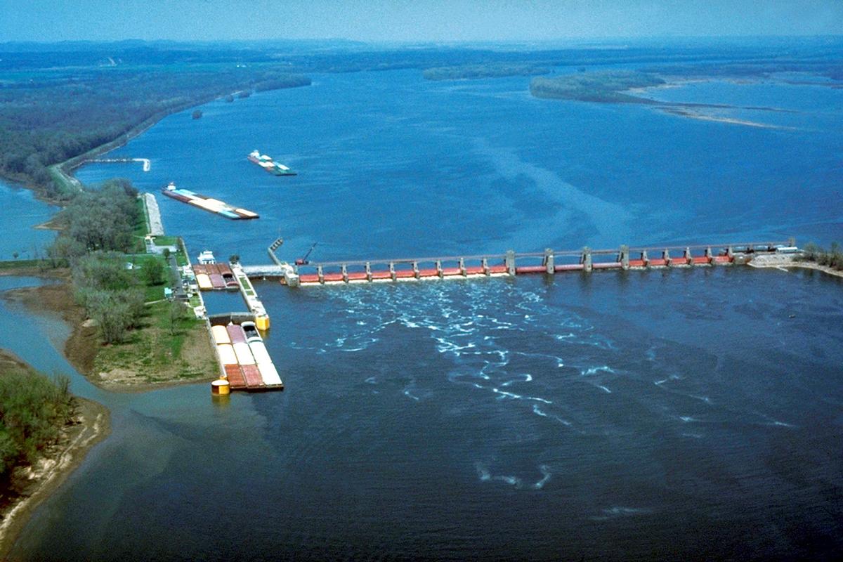
| Location: |
Winfield, Lincoln County, Missouri, USA Calhoun County, Illinois, USA |
|---|---|
| Impounds: |
|
| Coordinates: | 39° 0' 16.60" N 90° 41' 14.08" W |
Technical Information
There currently is no technical data available.
Participants
Currently there is no information available about persons or companies having participated in this project.
Relevant Web Sites

- About this
data sheet - Structure-ID
20030587 - Published on:
24/08/2007 - Last updated on:
15/12/2016
Structurae cooperates with


