

General Information
| Completion: | 31 January 1903 |
|---|---|
| Status: | in use |
Project Type
| Function / usage: |
Below grade metro or light-rail station |
|---|---|
| Structure: |
Underground structure |
Location
| Location: |
Paris (11th), Paris, Ile-de-France, France Paris (20th), Paris, Ile-de-France, France |
|---|---|
| Part of: | |
| Coordinates: | 48° 52' 1" N 2° 22' 59" E |
Technical Information
There currently is no technical data available.
Excerpt from Wikipedia
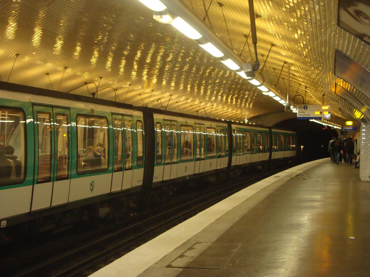
Ménilmontant is a station on Paris Métro Line 2, on the border of the 11th and 20th arrondissements.
History
The station was opened on 31 January 1903 as part of the extension of line 2 (known at the time as "2 Nord") from Anvers to Bagnolet (now called Alexandre Dumas). It is named after the Boulevard de Ménilmontant, which was named after a hamlet, annexed by Belleville before the French Revolution and in turn by Paris in 1860. It was the location of the Barrière de Ménilmontant, a gate built for the collection of taxation as part of the Wall of the Farmers-General; the gate was built between 1784 and 1788 and demolished during the 19th century.
Text imported from Wikipedia article "Ménilmontant (Paris Métro)" and modified on July 23, 2019 according to the CC-BY-SA 4.0 International license.
Participants
Currently there is no information available about persons or companies having participated in this project.
Relevant Web Sites

- About this
data sheet - Structure-ID
20051405 - Published on:
07/01/2010 - Last updated on:
25/01/2022


