
General Information
Project Type
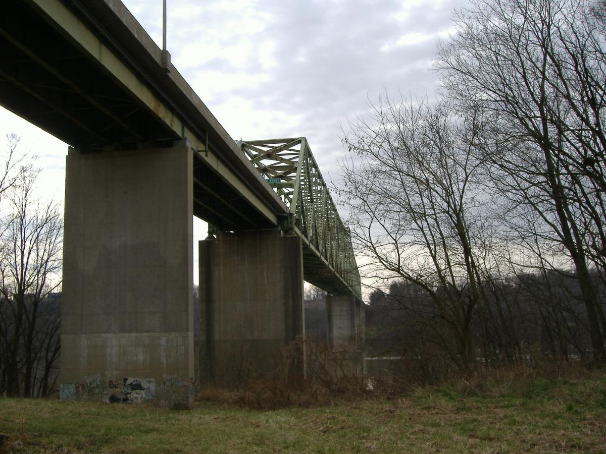
| Structure: |
Through truss bridge |
|---|---|
| Material: |
Steel bridge |
| Function / usage: |
Road bridge |
| Structure: |
Continuous truss bridge Cantilever truss bridge |
Location
| Location: |
Brandenburg, Meade County, Kentucky, USA Mauckport, Harrison County, Indiana, USA |
|---|---|
| Crosses: |
|
| Coordinates: | 38° 0' 59" N 86° 11' 51" W |
Technical Information
Dimensions
| main span | 221 m | |
| total length | 944 m |
Cost
| cost of construction | United States dollar 5 500 000 |
Materials
| truss |
steel
|
|---|
Excerpt from Wikipedia
Matthew E. Welsh Bridge is a two-lane, single-pier cantilever bridge on the Ohio River. The bridge connects Kentucky Route 313 and Indiana State Road 135, as well as the communities of Brandenburg, Kentucky and Mauckport, Indiana.
It is 3,098 ft (944 m) long and was built at a cost of 5.5 million dollars, financed mainly by the State of Indiana. The truss portion of the bridge is continuous across two 725 ft (221 m) spans. Construction of the bridge began in August 1964 and the bridge was opened to traffic on November 19, 1966.
The bridge was named after Matthew E. Welsh, the 41st governor of Indiana.
Although 90% of the bridge is within the Commonwealth of Kentucky, it is owned and maintained by the State of Indiana.
Text imported from Wikipedia article "Matthew E. Welsh Bridge" and modified on July 23, 2019 according to the CC-BY-SA 4.0 International license.
Participants
Currently there is no information available about persons or companies having participated in this project.
Relevant Web Sites

- About this
data sheet - Structure-ID
20042891 - Published on:
09/01/2009 - Last updated on:
05/02/2016


