
General Information
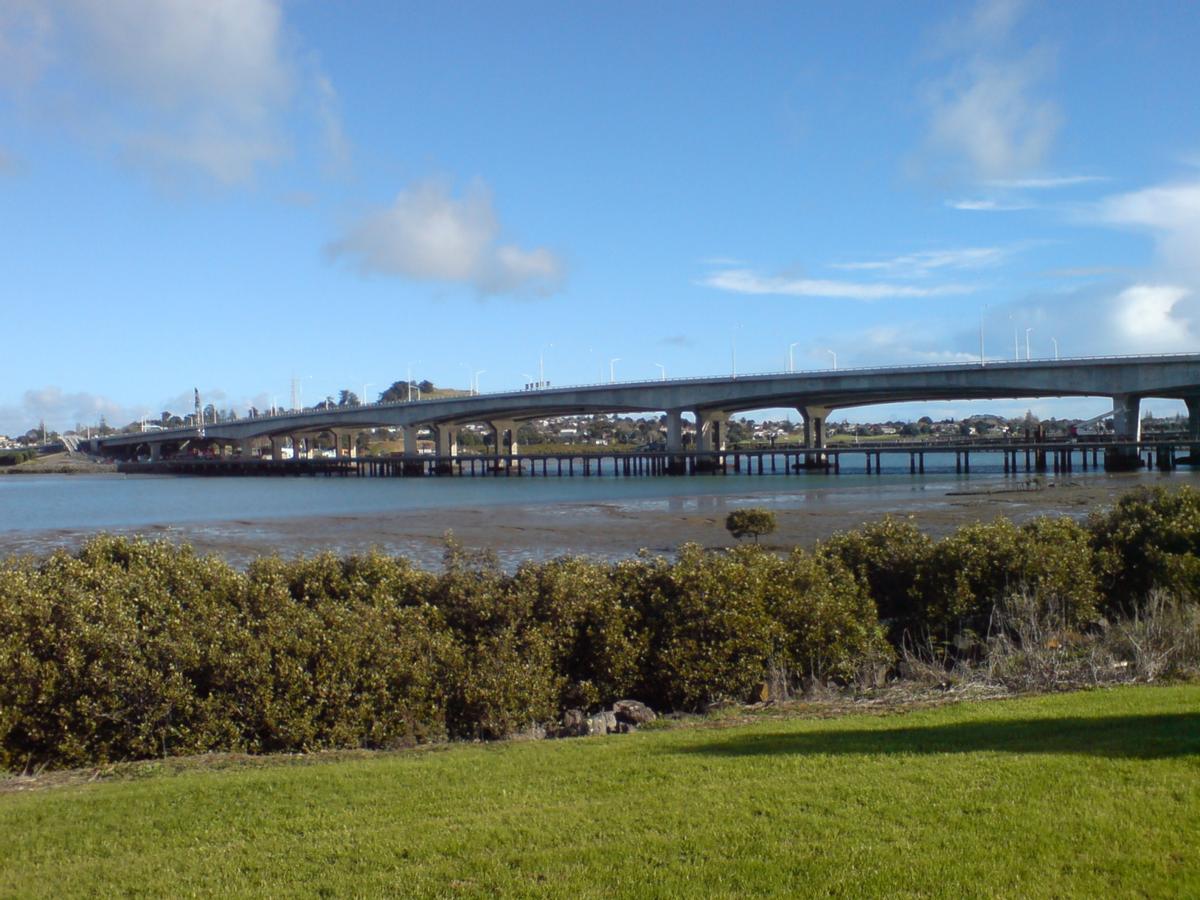
| Other name(s): | Manukau Harbour Crossing |
|---|---|
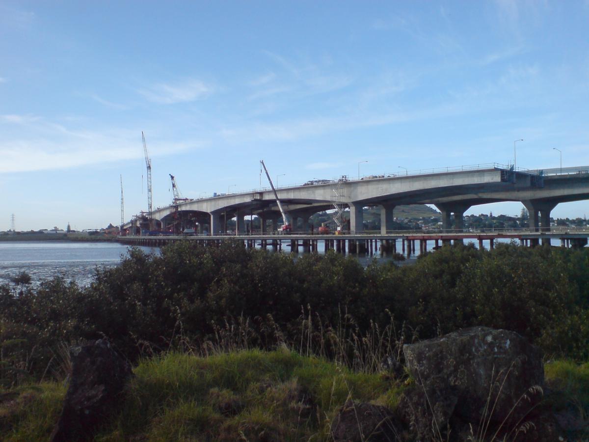
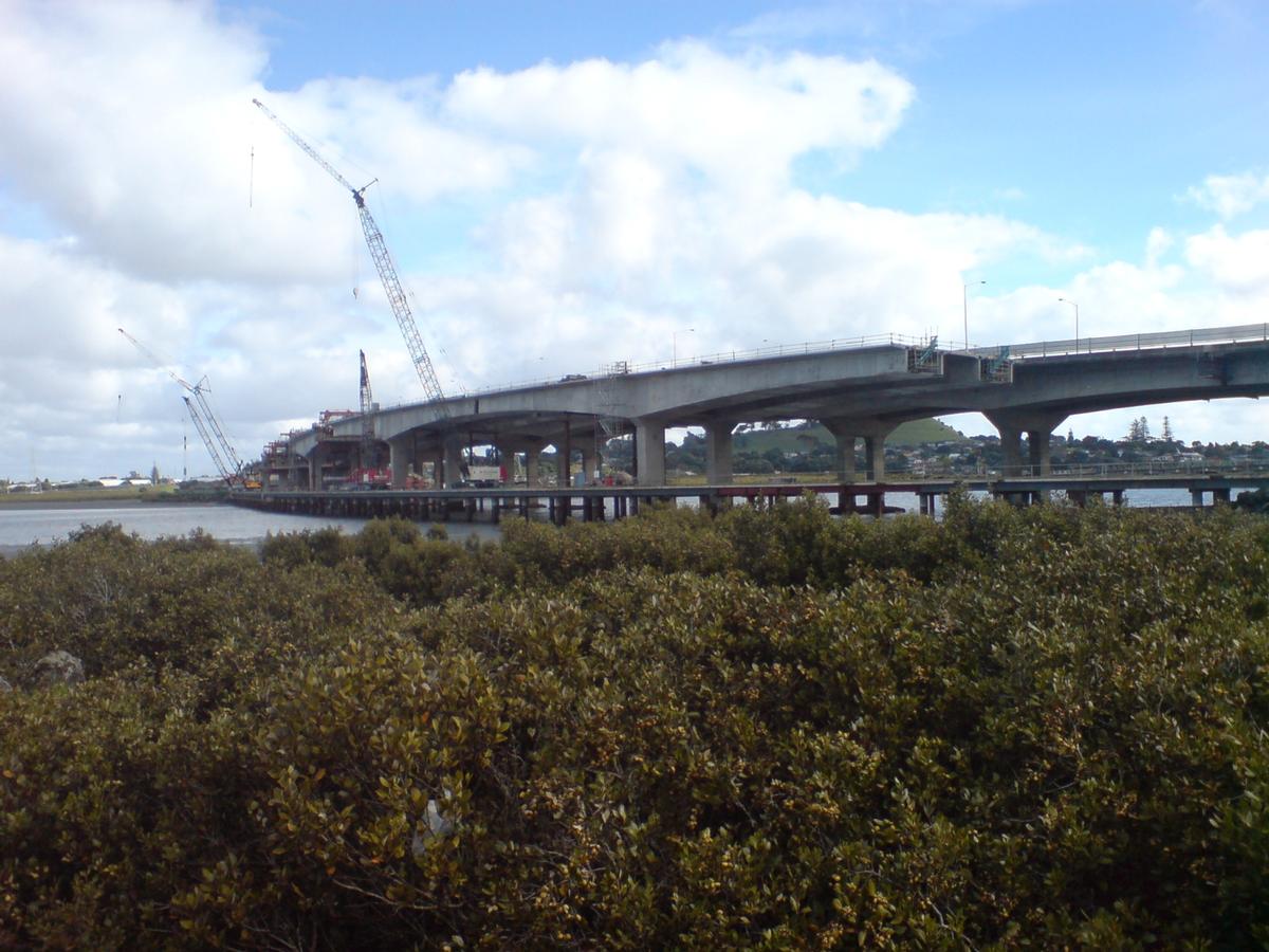
| Beginning of works: | 9 April 2008 |
| Completion: | 25 July 2010 |
| Status: | in use |
Project Type
| Function / usage: |
Road bridge |
|---|---|
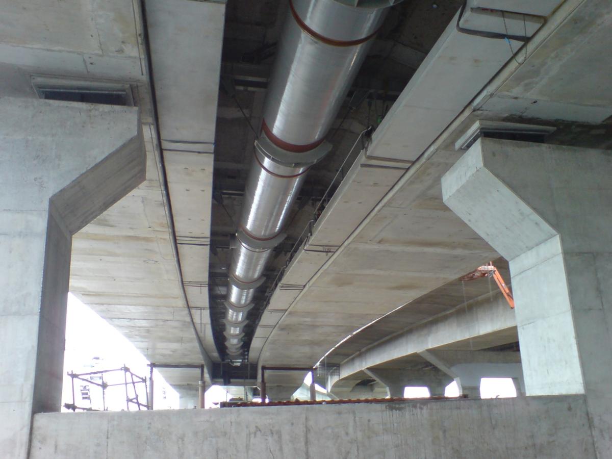
| Structure: |
Haunched girder bridge |
| Material: |
Prestressed concrete bridge |
| Structure: |
Box girder bridge |
| Construction method: |
Balanced cantilever method |
| Material: |
Structurae Plus/Pro - Subscribe Now! |
Location
| Location: |
Manukau City, Auckland, New Zealand |
|---|---|
| Next to: |
Mangere Bridge (1984)
|
| Coordinates: | 36° 56' 1.03" S 174° 47' 18.71" E |
Technical Information
Dimensions
| total length | 650 m | |
| number of lanes | 4 | |
| piers | number | 7 |
Materials
| deck |
prestressed concrete
|
|---|---|
| piers |
reinforced concrete
|
| abutments |
reinforced concrete
|
Participants
Currently there is no information available about persons or companies having participated in this project.
Relevant Web Sites
There currently are no relevant websites listed.
- About this
data sheet - Structure-ID
20027055 - Published on:
28/02/2007 - Last updated on:
10/11/2017
Structurae cooperates with


