
General Information
| Other name(s): | Governor Nobre de Carvalho Bridge |
|---|---|
| Beginning of works: | June 1970 |
| Completion: | October 1974 |
| Status: | in use |
Project Type
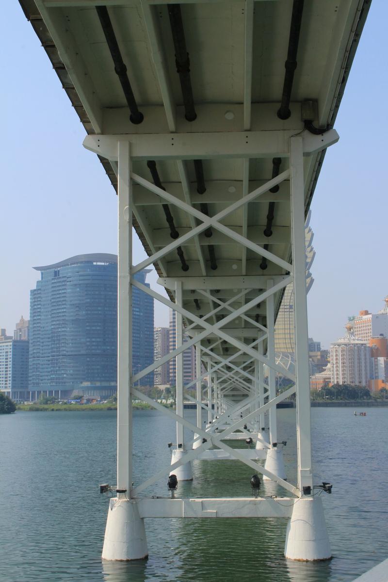
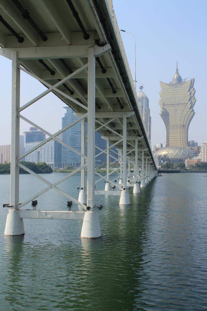
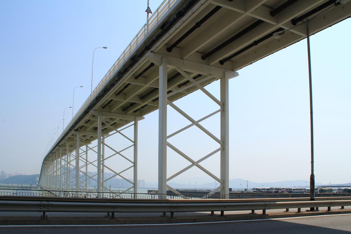
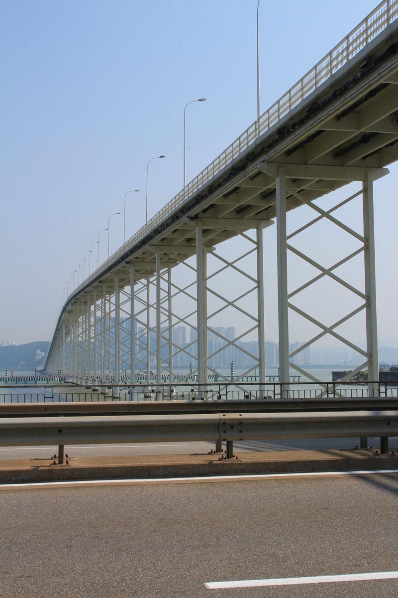
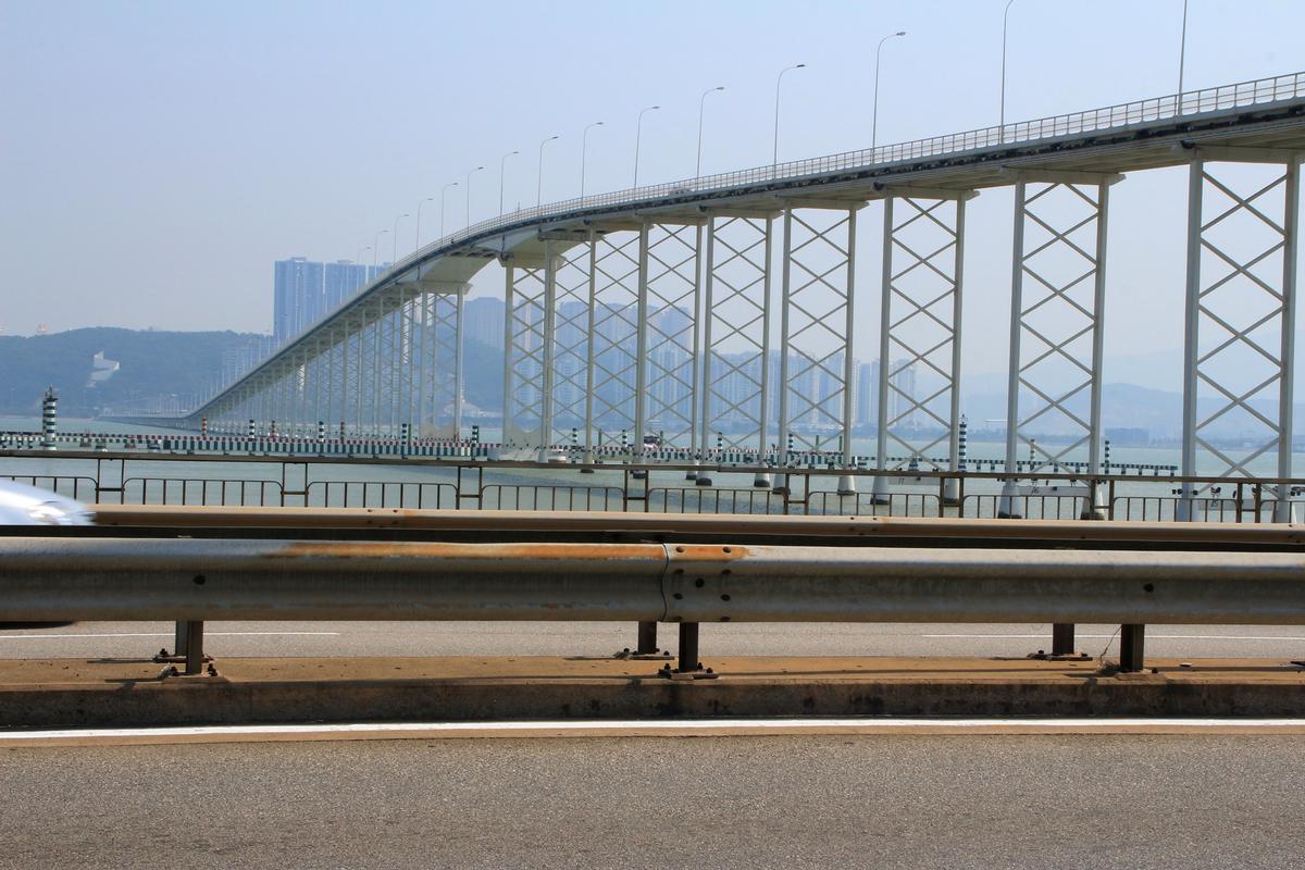
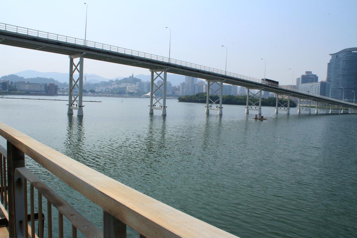
| Structure: |
Box girder bridge |
|---|---|
| Function / usage: |
Road bridge |
| Structure: |
Haunched girder bridge |
| Material: |
Prestressed concrete bridge |
Location
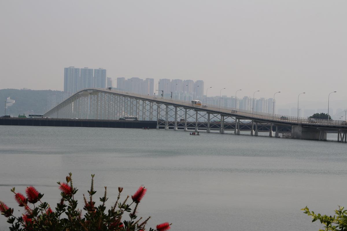
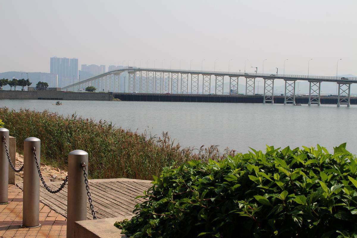
| Location: |
Macau, China |
|---|---|
| Coordinates: | 22° 9' 54.59" N 113° 32' 55.43" E |
| Coordinates: | 22° 11' 12.60" N 113° 32' 38.07" E |
Technical Information
Dimensions
| width | 9.2 m | |
| total length | 2 569.8 m |
Materials
| deck |
prestressed concrete
|
|---|
Notes
First fixed crossing to the island of Taipa which was until then only accessible by boat/ferry.
Participants
Design
- Edgar Cardoso (designer)
Relevant Web Sites
There currently are no relevant websites listed.
- About this
data sheet - Structure-ID
20008647 - Published on:
19/03/2003 - Last updated on:
05/02/2016
Structurae cooperates with


