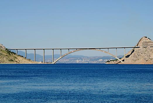
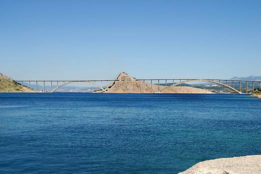
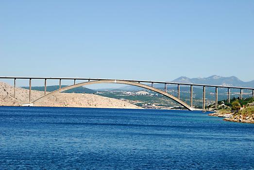
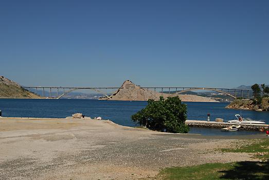
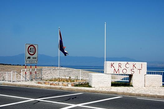
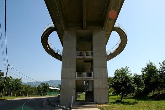
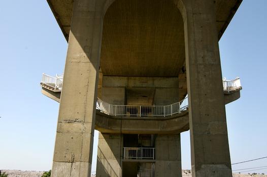
General Information
Project Type
| Structure: |
Deck arch bridge |
|---|---|
| Function / usage: |
Road bridge |
| Construction method: |
Cantilever construction using temporary cable-stays |
| Material: |
Reinforced concrete bridge Structurae Plus/Pro - Subscribe Now! |
Location
| Location: |
Krk, Primorje-Gorski Kotar, Croatia |
|---|---|
| Location description: |
Between the islands of Sveti Marko and Krk |
| Coordinates: | 45° 14' 37.51" N 14° 33' 54.62" E |
| Coordinates: | 45° 14' 50.03" N 14° 34' 15.61" E |
Technical Information
Dimensions
| rise | 67 m | |
| total length | 1 430 m | |
| bridge I | main span | 390 m |
| bridge II | main span | 244 m |
Quantities
| concrete volume | 20 500 m³ | |
| prestressing steel | 130 t | |
| reinforcing steel | 4 500 t |
Design Loads
| wind resistant to | 142 km/h |
Materials
| arches |
reinforced concrete
|
|---|
Notes
In order to keep the arch springings outside the water, the design extends the structure below water level with struts creating a theoretical span length of 416 meters for the longer span. To counteract creep and shrinkage effects, the arch was raised using jacks by 63 mm after two years of service and by an additional 93 mm after another year. The jacks were then encased in concrete.
Participants
Design
- Vukan Njagulj (design engineer)
- Bojan Mozina (design engineer)
- Ilija Stojadinovic (designer)
Main contractor
Subcontractor
Relevant Web Sites
There currently are no relevant websites listed.
Relevant Publications
- (2001): ARCH'01 - 3ème conférence sur les ponts en arc. Presses de l'Ecole nationale des ponts et chaussées, Paris (France), pp. 49-55, 641-646.
- (1997): L'art de l'ingénieur. constructeur, entrepeneur, inventeur. Éditions du Centre Georges Pompidou, Paris (France), pp. 255.
- (2003): Bridge engineering. A global perspective. Thomas Telford, London (United Kingdom), ISBN 9780727732156, pp. 247, 320.
- (2003): Bridging the World. Bridge Ink, Wilsonville (USA).
- (1994): Brücken / Bridges. Ästhetik und Gestaltung / Aesthetics and Design. 4th edition, Deutsche Verlags-Anstalt, Stuttgart (Germany), pp. 235.
- About this
data sheet - Structure-ID
20000139 - Published on:
16/04/1999 - Last updated on:
28/05/2021

