
General Information
Project Type
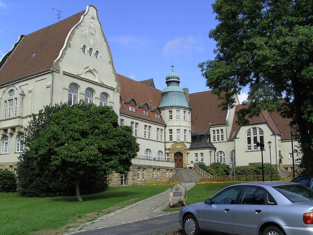
| Function / usage: |
original use: City or town hall |
|---|
Location
| Location: |
Essen, North Rhine-Westphalia, Germany |
|---|---|
| Coordinates: | 51° 27' 58.32" N 7° 5' 1.36" E |
Technical Information
There currently is no technical data available.
Participants
Architecture
- Otto Mecke (architect)
Relevant Web Sites
There currently are no relevant websites listed.
- About this
data sheet - Structure-ID
20056486 - Published on:
08/05/2010 - Last updated on:
16/05/2015
Structurae cooperates with


