
General Information
| Other name(s): | Nyerere Bridge |
|---|---|
| Beginning of works: | February 2012 |
| Completion: | 16 April 2016 |
| Status: | in use |
Project Type
| Function / usage: |
Road bridge |
|---|---|
| Structure: |
Three-span cable-stayed bridge Cable-stayed bridge with semi-fan system |
| Plan view: |
Structurae Plus/Pro - Subscribe Now! |
| Support conditions: |
for registered users |
| Material: |
Structurae Plus/Pro - Subscribe Now! |
| Secondary structure(s): |
Structurae Plus/Pro - Subscribe Now! |
| Material: |
Structurae Plus/Pro - Subscribe Now! |
| Secondary structure(s): |
Structurae Plus/Pro - Subscribe Now! |
Location
| Location: |
Dar es Salaam, Tanzania |
|---|---|
| Coordinates: | 6° 51' 32.90" S 39° 17' 59.44" E |
Technical Information
Dimensions
| main span | 200 m | |
| width | 27.5 m | |
| length | 680 m | |
| number of lanes | 2 x 3 |
Materials
| piers |
reinforced concrete
|
|---|---|
| mast |
reinforced concrete
|
Excerpt from Wikipedia
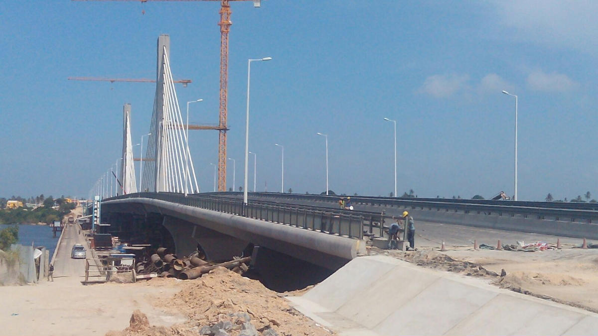
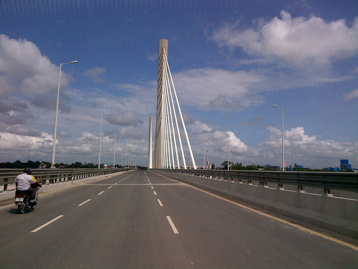
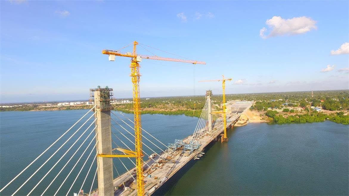
Nyerere Bridge also unofficially known as Kigamboni Bridge (Daraja la Nyerere, in Swahili) is a 680-meter-long bridge located in the Dar es Salaam Region of Tanzania that connects the Temeke District's ward of Kurasini from the east to the west of Kigamboni District's Vijibweni ward across the Kurasini estuary. Construction work began in February 2012 and completed in April 2016.
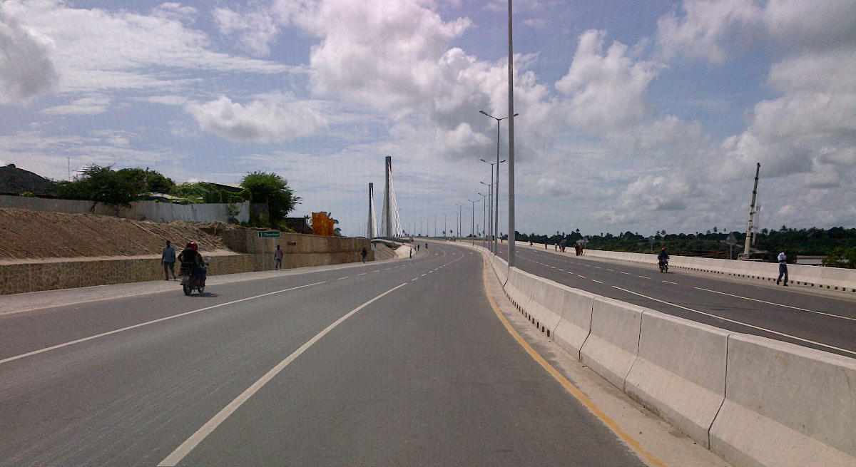
The completion of the bridge has offered an alternative transport link to the new district of Kigamboni. Previously, the Kivukoni ferry provided a quick transport link between south east of the Dar es Salaam Central Business District specifically from south east of Kivukoni to north west of Kigamboni. The bridge has six lanes (three on each direction) and two pedestrians/cyclists lanes with width of 2.5 meters (one on each side). Construction of 2.5 km approach roads were completed with 1 km on the Kurasini side in Temeke District and 1.5 km on the Kigamboni side. The road joins the Nelson Mandela expressway through elevated free interchange to separate traffic approaching and leaving the junction. There is a toll plaza for controlling and charging of vehicles passing through the bridge. A total of 14 controlled lanes are going to be in this area (seven for each of the two directions).
Text imported from Wikipedia article "Nyerere Bridge" and modified on January 27, 2025 according to the CC-BY-SA 4.0 International license.
Participants
Relevant Web Sites

- About this
data sheet - Structure-ID
20090376 - Published on:
25/01/2025 - Last updated on:
26/01/2025


