
General Information
| Completion: | 1969 |
|---|---|
| Status: | in use |
Project Type
| Structure: |
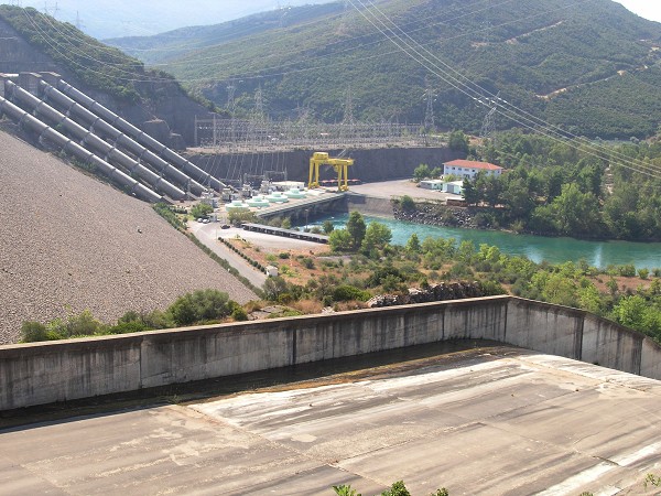
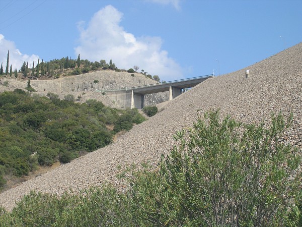
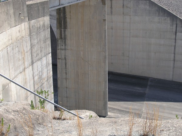
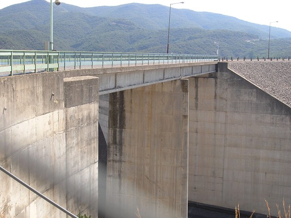
Earthfill dam |
|---|---|
| Function / usage: |
Hydroelectric dam / plant Flood-control dam Irrigation & industrial water dam |
Location
| Location: |
Aitolia-Acarnania, West Greece, Greece |
|---|---|
| Impounds: |
|
| Coordinates: | 38° 44' 30" N 21° 21' 52" E |
Technical Information
Dimensions
| height | 96 m | |
| retained water volume | 785 000 000 m³ | |
| crest length | 547 m | |
| capacity for electric power generation | 320 MW | |
| dam volume | 5 200 000 m³ | |
| water surface area | 24 km² | |
| annual power generation | 598 GWh |
Excerpt from Wikipedia
Lake Kastraki (Greek: Λίμνη Καστρακίου) is an artificial lake near Kastraki in Aetolia-Acarnania, western Greece. The lake is drained by the river Acheloos, and fed by the rivers Acheloos and Inachos. It was formed by the Kastraki Dam, completed in 1969. Its area is about 28 km² and its maximum capacity is 950,000,000 m³ of water. It is used for the generation of hydroelectric power by DEI.
Text imported from Wikipedia article "Kastraki (lake)" and modified on June 2, 2020 according to the CC-BY-SA 4.0 International license.
Participants
Currently there is no information available about persons or companies having participated in this project.
Relevant Web Sites

- About this
data sheet - Structure-ID
20032192 - Published on:
10/10/2007 - Last updated on:
04/01/2016
Structurae cooperates with


