
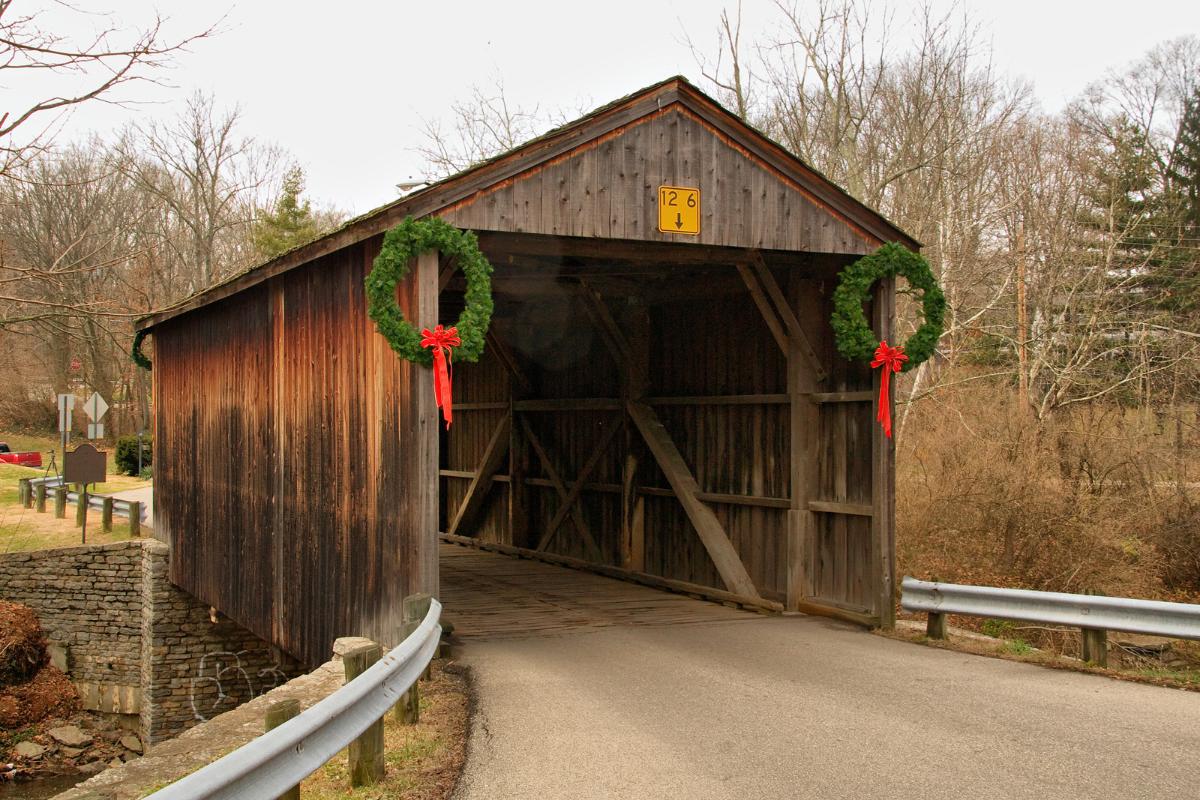
General Information
| Completion: | 1850 |
|---|---|
| Status: | in use |
Project Type
| Function / usage: |
Road bridge |
|---|---|
| Structure: |
Covered bridge |
Location
| Location: |
Cincinnati, Hamilton County, Ohio, USA |
|---|---|
| Coordinates: | 39° 15' 21" N 84° 32' 58" W |
Technical Information
There currently is no technical data available.
Participants
Currently there is no information available about persons or companies having participated in this project.
Relevant Web Sites

- About this
data sheet - Structure-ID
20039161 - Published on:
24/08/2008 - Last updated on:
05/02/2016
Structurae cooperates with


