
General Information
Project Type
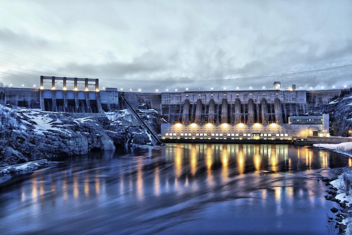
| Structure: |
Hollow gravity dam |
|---|---|
| Material: |
Concrete dam |
| Function / usage: |
Hydroelectric dam / plant |
Location
| Location: |
Côte-Nord, Quebec, Canada |
|---|---|
| Impounds: |
|
| Coordinates: | 49° 19' 18" N 68° 20' 48" W |
Technical Information
Dimensions
| height | 94 m | |
| crest length | 692 m | |
| reservoir capacity | 4 000 000 000 m³ | |
| capacity for electric power generation | 1 229 MW | |
| water surface area | 12 400 ha |
Materials
| dam structure |
concrete
|
|---|
Participants
Owner
Relevant Web Sites
There currently are no relevant websites listed.
- About this
data sheet - Structure-ID
20074840 - Published on:
09/03/2018 - Last updated on:
09/03/2018
Structurae cooperates with


