
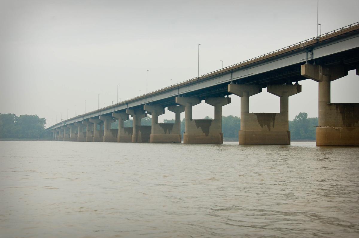
General Information
| Completion: | 1966 |
|---|---|
| Status: | in use |
Project Type
| Function / usage: |
Motorway bridge / freeway bridge |
|---|---|
| Structure: |
Girder bridge |
Location
| Location: |
Saint Louis, Missouri, USA Madison County, Illinois, USA |
|---|---|
| Address: | I-270 |
| Crosses: |
|
| Carries: |
|
| Next to: |
Chain of Rocks Bridge (1929)
|
| Coordinates: | 38° 45' 52" N 90° 10' 21" W |
Technical Information
There currently is no technical data available.
Participants
Currently there is no information available about persons or companies having participated in this project.
Relevant Web Sites

- About this
data sheet - Structure-ID
20014312 - Published on:
07/11/2004 - Last updated on:
12/09/2022
Structurae cooperates with


