General Information
Project Type
| Structure: |
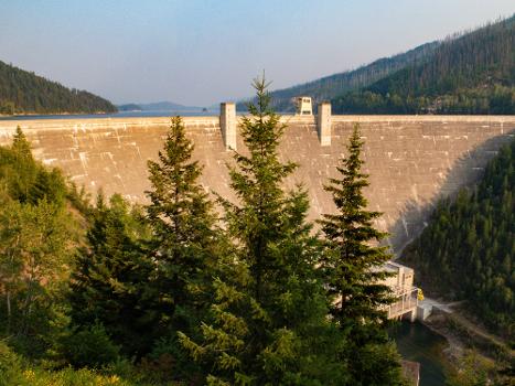
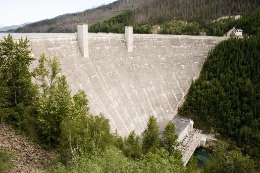
Arch dam |
|---|
Location
| Location: |
Flathead County, Montana, USA |
|---|---|
| Coordinates: | 48° 20' 27.71" N 114° 0' 49.20" W |
Technical Information
Dimensions
| height | 171.9 m | |
| crest length | 644.7 m |
Participants
Currently there is no information available about persons or companies having participated in this project.
Relevant Web Sites
Relevant Publications
- (1949): Seismograph station near Hungry Horse Dam, Montana. In: Bulletin of the Seismological Society of America, v. 39, n. 1 (1 January 1949), pp. 27-31.
- About this
data sheet - Structure-ID
20050256 - Published on:
13/12/2009 - Last updated on:
24/12/2021

.jpg)
.jpg)


