
General Information
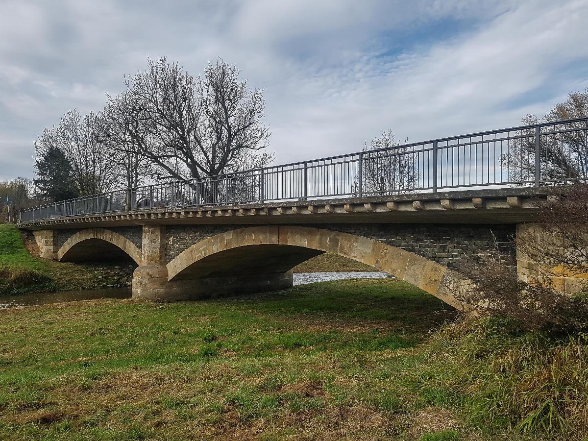
| Name in local language: | Mandaubrücke Hörnitz |
|---|---|
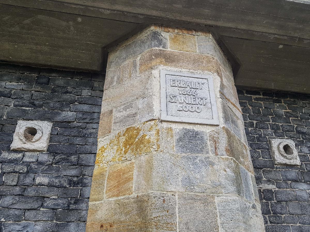
| Beginning of works: | 1865 |
| Completion: | 1866 |
| Status: | in use |
Project Type
| Function / usage: |
Road bridge |
|---|---|
| Structure: |
Segmental arch bridge |
| Material: |
Masonry bridge |
| Plan view: |
Structurae Plus/Pro - Subscribe Now! |
| Material: |
Structurae Plus/Pro - Subscribe Now! |
Awards and Distinctions
Location
| Location: |
Zittau, Görlitz (Kreis), Saxony, Germany Bertsdorf-Hörnitz, Görlitz (Kreis), Saxony, Germany |
|---|---|
| Coordinates: | 50° 54' 1.14" N 14° 45' 36.53" E |
Technical Information
Dimensions
| total length | 48 m | |
| span lengths | 2 x 17 m | |
| number of spans | 2 | |
| Widening | ||
|---|---|---|
| roadway / carriageway width | 6.50 m | |
| walkway width | 1.50 m + 2.35 m | |
Materials
| arches |
sandstone
|
|---|---|
| piles |
timber
|
| abutments |
sandstone
|
| pier |
sandstone
|
Participants
Relevant Web Sites
There currently are no relevant websites listed.
Relevant Publications
- (2005): Wirklichkeitsnähere Tragwerksanalyse von Gewölbebrücken. In: Mauerwerk, v. 9, n. 3 (June 2005), pp. 89-92.
- About this
data sheet - Structure-ID
20085657 - Published on:
29/03/2023 - Last updated on:
29/03/2023
Structurae cooperates with


