
General Information
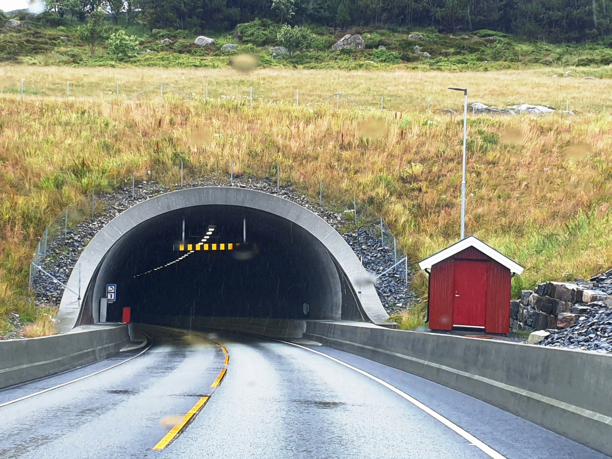
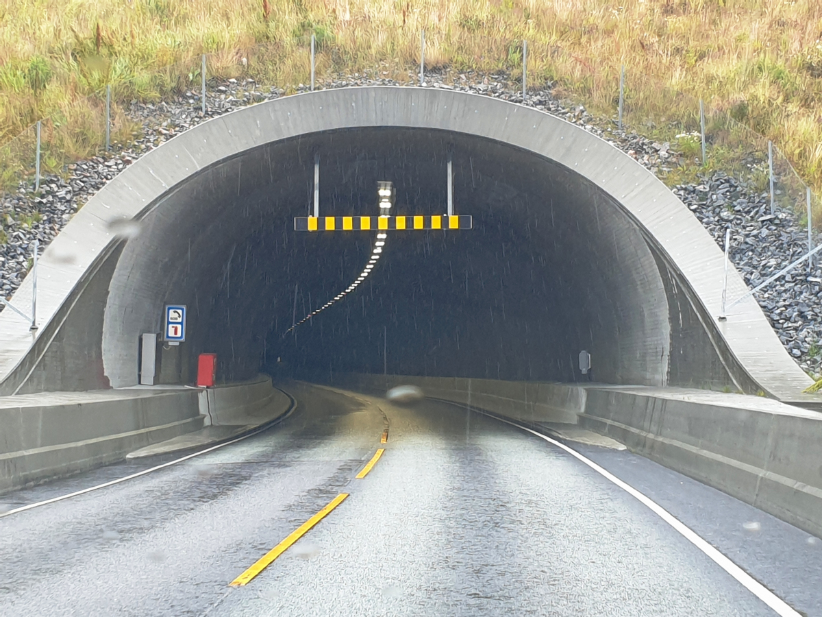
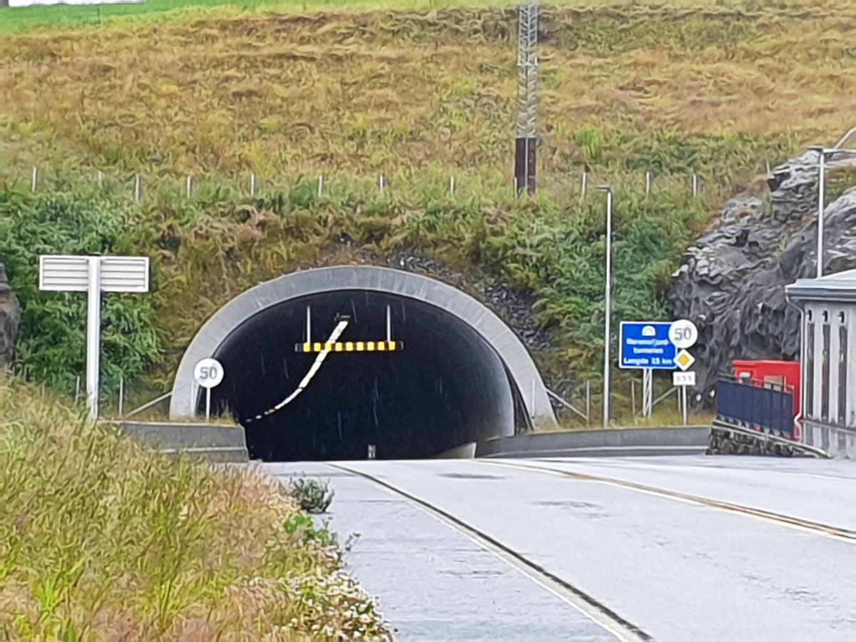
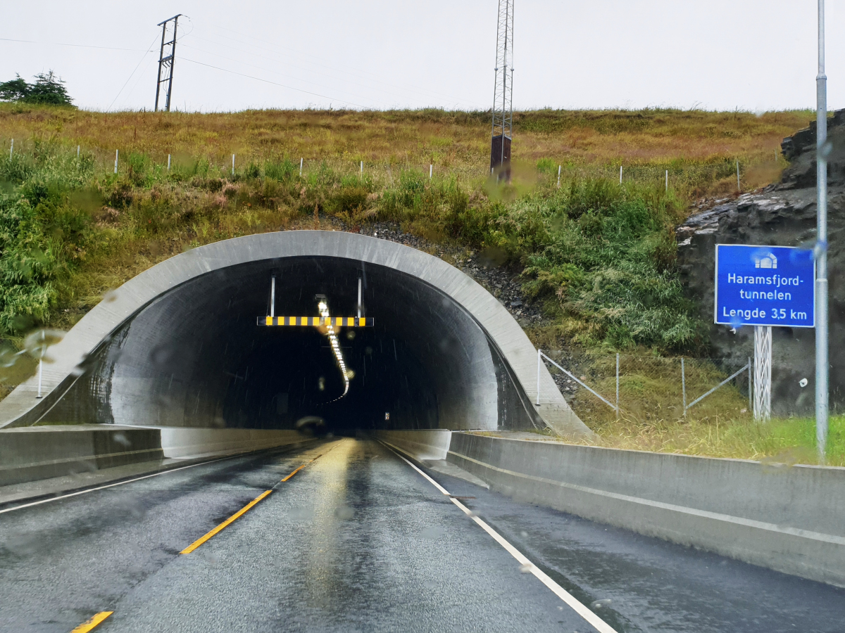
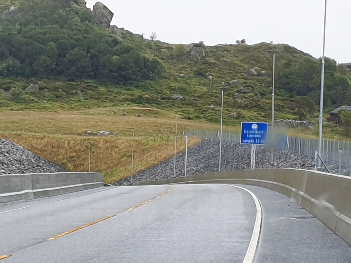
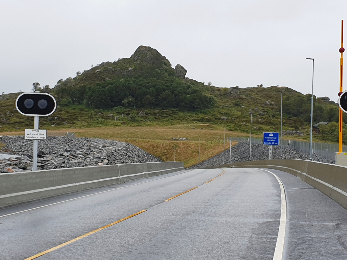
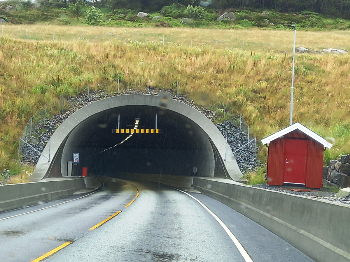
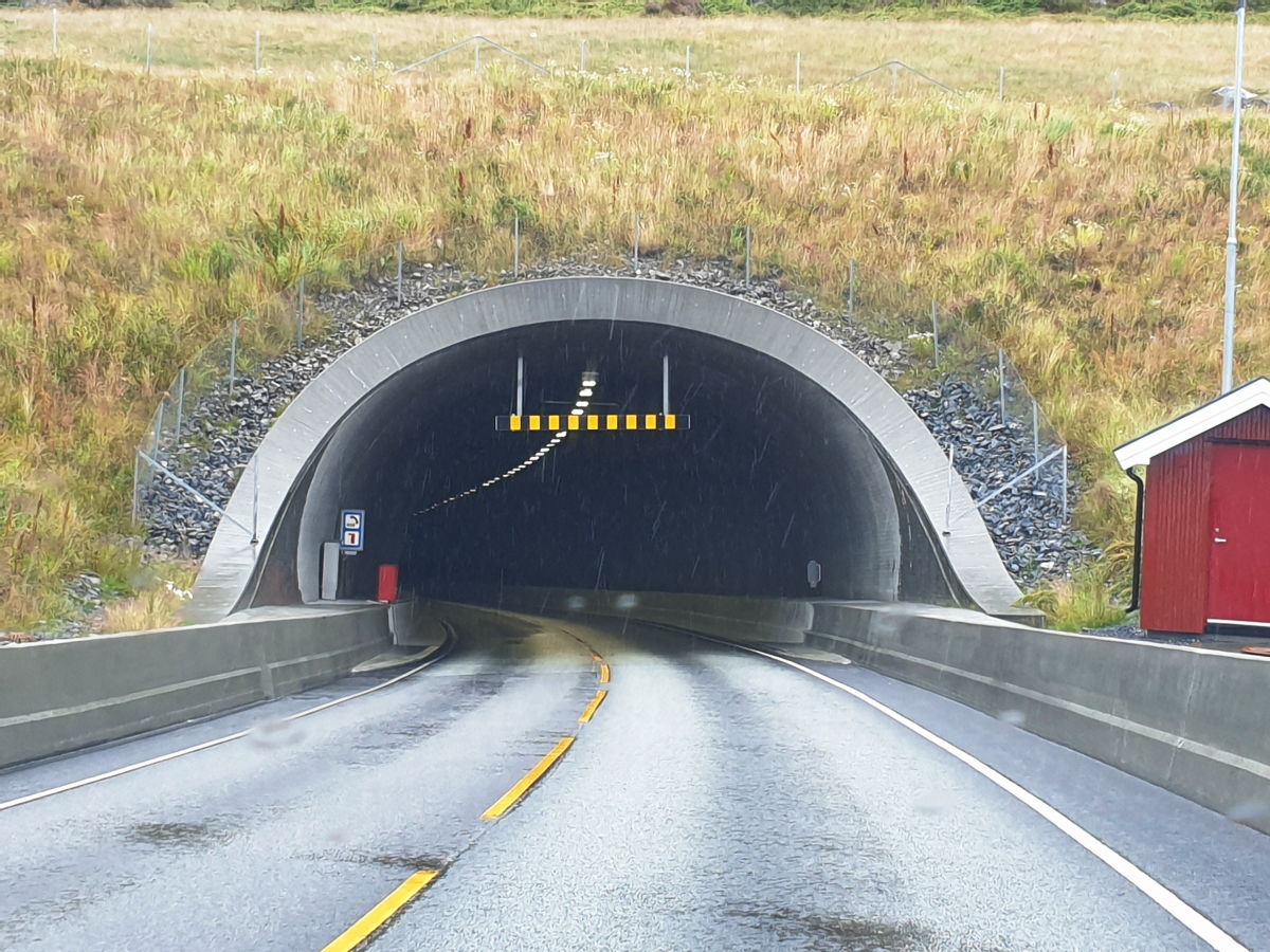
| Name in local language: | Haramsfjordtunnelen |
|---|---|
| Completion: | 18 December 2021 |
| Status: | in use |
Project Type
| Structure: |
Tunnel |
|---|---|
| Function / usage: |
Road tunnel |
Location
| Location: |
Ålesund, Møre og Romsdal, Norway |
|---|---|
| Address: | Fv 659 |
| Coordinates: | 62° 36' 23.19" N 6° 14' 50.11" E |
| Coordinates: | 62° 37' 56.94" N 6° 16' 3.56" E |
Technical Information
Dimensions
| length | 3 546 m | |
| longitudinal slope | max. 7% | |
| depth below ground level | max. 112 m |
Chronology
| January 2021 | Breakthrough |
|---|
Participants
Currently there is no information available about persons or companies having participated in this project.
Relevant Web Sites
There currently are no relevant websites listed.
Relevant Publications
- (2023): Nordøyvegen: tre nuovi subalvei in Norvegia. In: Strade e Autostrade, v. 26, n. 162 (November 2023), pp. 14-18.
- About this
data sheet - Structure-ID
20087029 - Published on:
25/09/2023 - Last updated on:
25/09/2023
Structurae cooperates with


