General Information
Project Type
| Structure: |
Truss arch bridge |
|---|---|
| Function / usage: |
Road bridge |
| Structure: |
Tied-arch bridge |
| Material: |
Steel bridge |
| Support conditions: |
for registered users |
| Plan view: |
Structurae Plus/Pro - Subscribe Now! |
Location
| Location: |
Ludwigsvorstadt-Isarvorstadt, Munich, Bavaria, Germany Maxvorstadt, Munich, Bavaria, Germany Schwanthalerhöhe, Munich, Bavaria, Germany |
|---|---|
| Address: | Grasserstraße |
| Coordinates: | 48° 8' 28.85" N 11° 32' 54.39" E |
Technical Information
Dimensions
| span lengths | 6 x 29 m | |
| number of spans | 6 | |
| deck | roadway / carriageway width | 7.40 m |
Materials
| truss |
steel
|
|---|
Excerpt from Wikipedia
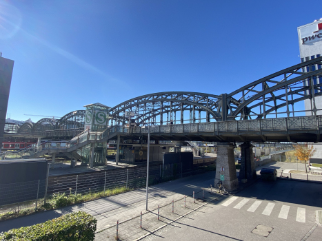
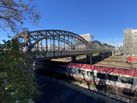
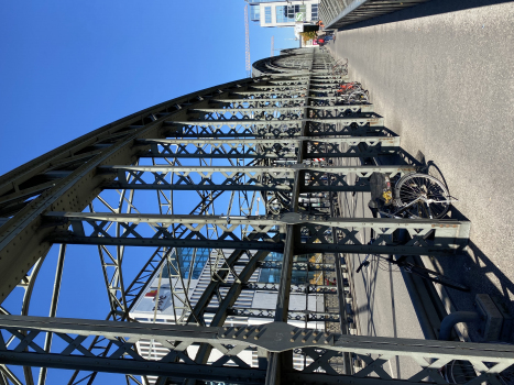
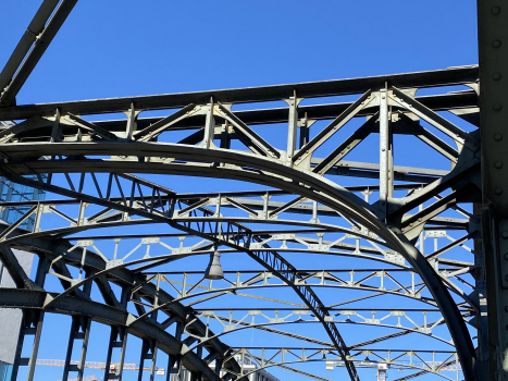
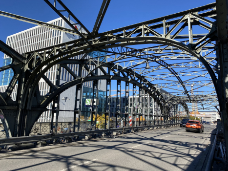
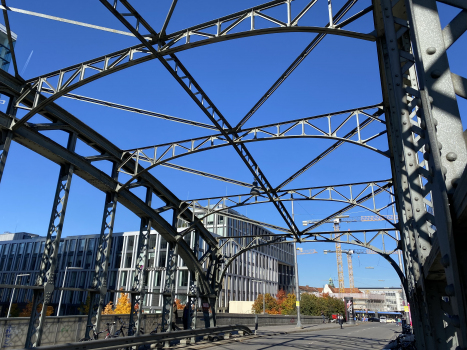
The Hackerbrücke (Hacker Bridge) is a road bridge across the main railway line in Munich immediately west of the town's central station.
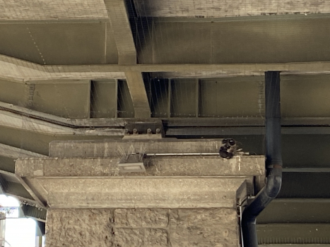
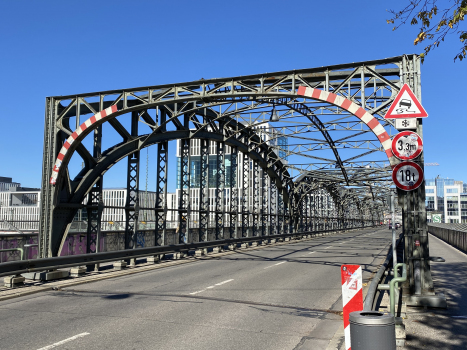
The first bridge was built at the beginning of the 1870s. In 1890-94 this was replaced by a new bridge, constructed by the Maschinenfabrik Augsburg-Nürnberg ("Augsburg-Nuremberg machine factory"). It was partially destroyed during the second world war and restored in 1952-3. Six iron arches, 28.8 metres wide and eight metres high, carry the road; pairs of stone pillars support the arches. The bridge gives its name to the S-Bahn station Hackerbrücke, which is beneath the bridge and can only be accessed from it.
Text imported from Wikipedia article "Hackerbrücke" and modified on July 23, 2019 according to the CC-BY-SA 4.0 International license.
Participants
Relevant Web Sites
Relevant Publications
- (2002): Architekturführer München. Architectural Guide to Munich. 2nd edition, Dietrich Riemer Verlag, Berlin (Germany), pp. 118.
- (2006): Brücken in Deutschland für Straßen und Wege. Der Fotobildband deutscher Brückenbaukunst. Deutscher Bundesverlag, Cologne (Germany), ISBN 978-3-935064-41-5, pp. 52-53.
- About this
data sheet - Structure-ID
20016991 - Published on:
23/07/2005 - Last updated on:
26/10/2021

