General Information
| Completion: | 1792 |
|---|---|
| Status: | in use |
Project Type
| Structure: |
Vaulted arch bridge |
|---|---|
| Function / usage: |
Road bridge |
| Material: |
Masonry bridge |
| Plan view: |
Structurae Plus/Pro - Subscribe Now! |
| Material: |
Structurae Plus/Pro - Subscribe Now! |
Awards and Distinctions
| 1954 |
for registered users |
|---|
Location
| Location: |
Oxford, Oxfordshire, South East England, England, United Kingdom |
|---|---|
| Address: | Godstow Road |
| Crosses: |
|
| Coordinates: | 51° 46' 46.17" N 1° 17' 59.23" W |
Technical Information
Dimensions
| number of spans | 2 | |
| abutments | number | 2 |
| pier | number | 1 |
Materials
| arches |
masonry
|
|---|---|
| pier |
masonry
|
Excerpt from Wikipedia
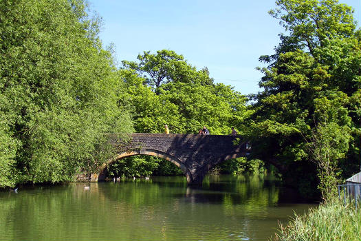
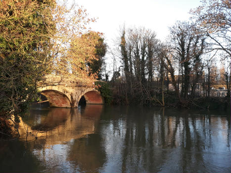
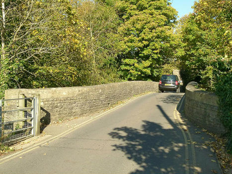
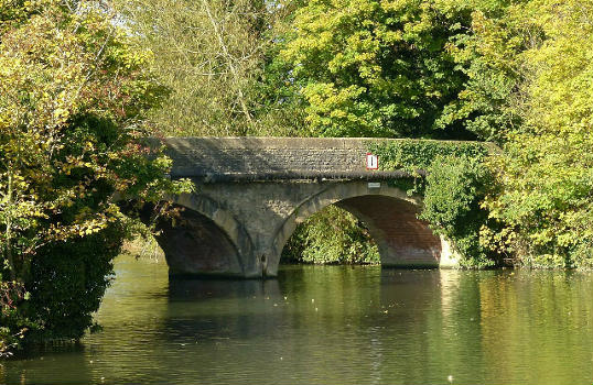
Godstow Bridge is a road bridge across the River Thames in England at Godstow near Oxford. The bridge is just upstream of Godstow Lock on the reach to King's Lock and carries a minor road between Wolvercote and Wytham.
The bridge is in two parts. The older part crosses the original course of the river and weir stream near The Trout Inn, a well-known public house. This stone bridge was in existence in 1692 and was probably the one held by the Royalists against Parliamentarians in 1645, during the English Civil War. It has two arches, one being pointed and the other rounded. The newer part was built across the new lock cut in 1792. This has two round arches of brick and was rebuilt in 1892. The North arch dates from medieval times. The Bridge is a Grade II Listed Building.
The importance of the bridge was reduced by the construction of the Oxford By-pass and the A34 Bridge a short distance upstream.
Text imported from Wikipedia article "Godstow Bridge" and modified on July 23, 2019 according to the CC-BY-SA 4.0 International license.
Participants
Currently there is no information available about persons or companies having participated in this project.
Relevant Web Sites
Relevant Publications
- (1981): Thames Crossings. Bridges, Tunnels and Ferries. David & Charles, Newton Abbot (United Kingdom), pp. 42-43.
- About this
data sheet - Structure-ID
20011323 - Published on:
04/01/2004 - Last updated on:
22/02/2025


