
General Information
| Other name(s): | 藤沼ダム (Fujinuma Damu) |
|---|---|
| Beginning of works: | 1937 |
| Completion: | 1949 |
| Status: | collapsed (11 March 2011) |
Project Type
| Structure: |
Embankment dam |
|---|---|
| Function / usage: |
Irrigation & industrial water dam |
Location
Technical Information
Dimensions
| height | 17.5 m | |
| length | 133 m | |
| retained water volume | 1 504 000 m³ | |
| dam volume | 99 000 m³ |
Chronology
| 12 March 2011 | The dam failes during the Sendai earthquake (magnitude 9.0) causing a flood that washes away five houses. Four bodies are later recovered with another four persons missing. |
|---|
Excerpt from Wikipedia
The Fujinuma Dam (藤沼ダム, Fujinuma Damu), was an earth-fill embankment dam in Sukagawa City, Fukushima Prefecture, Japan. It was established on the Ebana River, a tributary of the Abukuma River, 16 km (10 mi) west of the city office of Sukagawa City. Construction on the dam commenced in 1937 and it was completed in 1949 after construction was halted due to World War II. The dam's primary purpose was irrigation. It failed on 11 March 2011 after the 2011 Tōhoku earthquake.
Failure
On 11 March 2011, the dam failed 20 to 25 minutes after the Tōhoku earthquake as the nearly full reservoir overtopped the dam's crest. Locals reported hearing a loud burst before seeing a flood. The flood washed away five houses while damaging others, disabling a bridge and blocked roads with debris. Eight people were missing and four bodies were discovered after searches began at dawn.
On 12 March, 252 dams were inspected and seven dams were found to be damaged. Six embankment dams had shallow cracking on their crests and the reservoir at one concrete gravity dam had a slight slope failure. Four dams, including the Fujinuma, were inaccessible and could not be inspected.
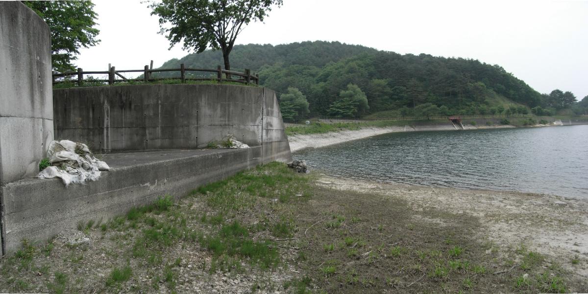
A preliminary survey of the dam and facilities conducted in April 2011 noted that the breach occurred at the tallest section of the dam. Within the dam's fill, there were layers of organic residual soil that in one area contained a tree stump. The residual soil was used as foundation and in layers as well — above alluvium. This suggests that the foundation for the dam was not prepared properly, according to the study. In addition, the reservoir's auxiliary dam suffered a severe slope failure on its upstream face while areas around the rim of the reservoir had mild slope failures or distress. It could not be confirmed whether the earthquake or a quick draining of the reservoir was the cause of this.
Design
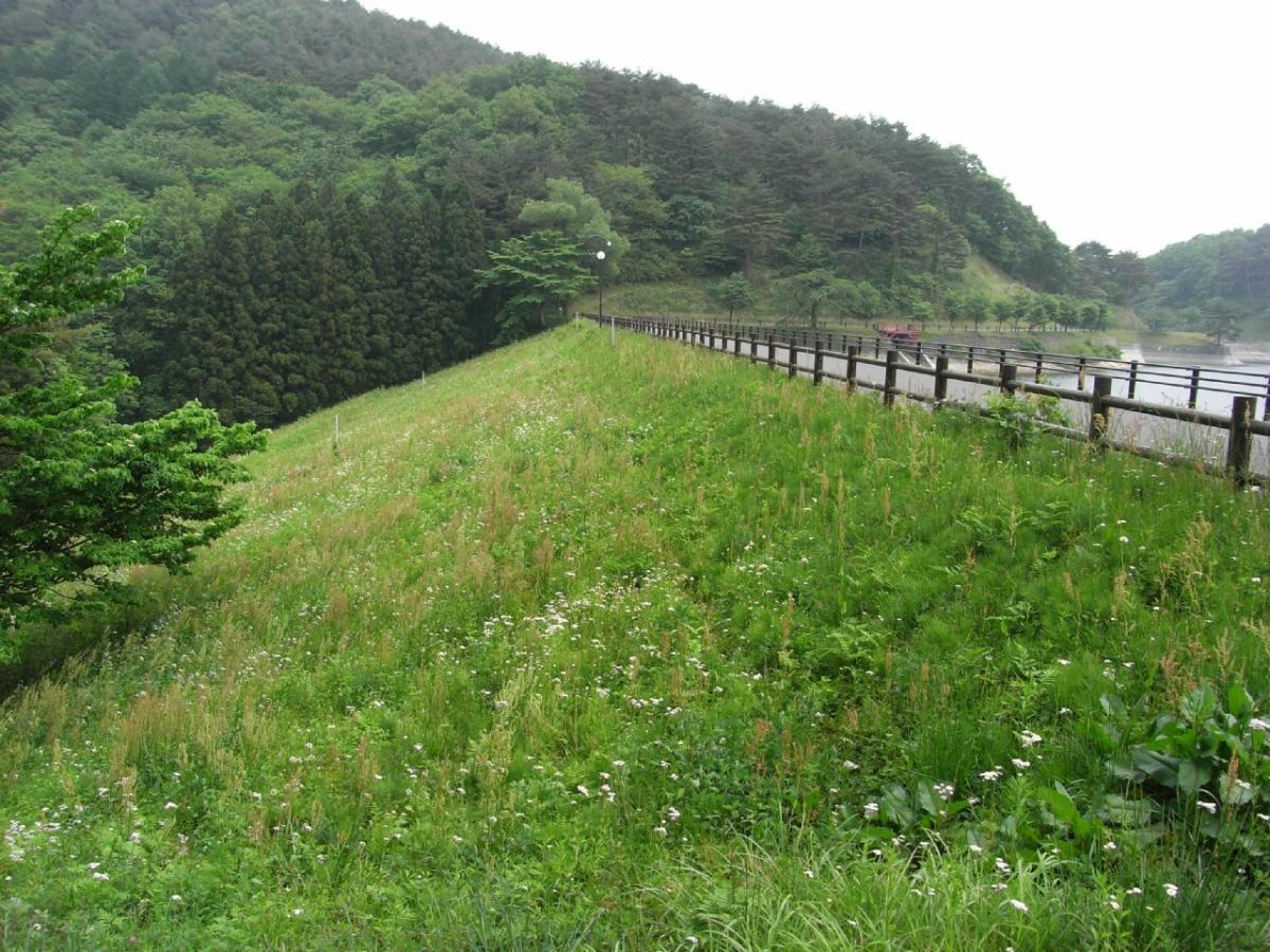
The dam was a 18.5 m (61 ft) tall and 133 m (436 ft) long embankment-type with a structural volume of 99,000 m³ (3,496,152 cu ft) and crest width of 6 m (20 ft). About 300 m (984 ft) to the south, there is an auxiliary dam with a height of about 6 m (20 ft) and length of approximately 60 m (197 ft). The auxiliary dam helped the reservoir maintain it designed levels given the topography wouldn't allow the single main dam to do so. The dam sat at the head of a 8.8 km² (3 sq mi) drainage area and its reservoir had a capacity of 1,504,000 m³ (1,219 acre⋅ft). The reservoir had a surface area of 20 ha (49 acres). The dam was built by Shoji Kensetsu and operated by Ebana River Coastal Reclamation District.
Recovery
Reconstruction of the dam started in October 2013, and was completed in April 2017.
Text imported from Wikipedia article "Fujinuma Dam" and modified on July 23, 2019 according to the CC-BY-SA 4.0 International license.
Participants
Currently there is no information available about persons or companies having participated in this project.
Relevant Web Sites

- About this
data sheet - Structure-ID
20059396 - Published on:
16/03/2011 - Last updated on:
21/01/2022


