General Information
| Completion: | 26 October 1952 |
|---|---|
| Status: | in use |
Project Type
| Function / usage: |
Below grade metro or light-rail station |
|---|---|
| Structure: |
Underground structure |
Location
| Location: |
Stockholm, Stockholms län, Sweden |
|---|---|
| Part of: | |
| Coordinates: | 59° 19' 57" N 18° 1' 50.16" E |
Technical Information
There currently is no technical data available.
Excerpt from Wikipedia
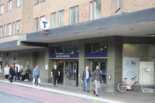
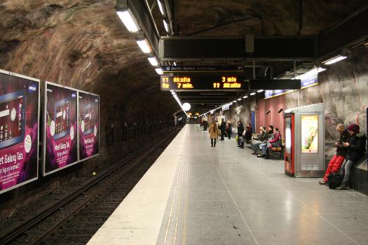
Fridhemsplan metro station is a station of the Stockholm metro, located in the district of Kungsholmen. The station is an interchange between the blue and green lines, with two platforms for each, about a hundred metres apart.
To the south-west of the station a tunnel between the blue and green lines provides the only connection for trains to be moved onto and off the blue line.
The green line platforms were opened in 1952 as a part of the stretch between Hötorget and Vällingby. and are around 18 meters under the ground. The distance to Slussen is 4.9 km. The second part was opened in 1975, when the blue line was inaugurated, and the platform is around 28–31 meters under the ground. The distance to Kungsträdgården is 2.1 km.
Text imported from Wikipedia article "Fridhemsplan metro station" and modified on July 23, 2019 according to the CC-BY-SA 4.0 International license.
Participants
Currently there is no information available about persons or companies having participated in this project.
Relevant Web Sites
- About this
data sheet - Structure-ID
20055247 - Published on:
15/03/2010 - Last updated on:
25/01/2022


