

General Information
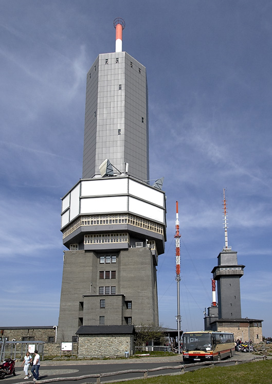
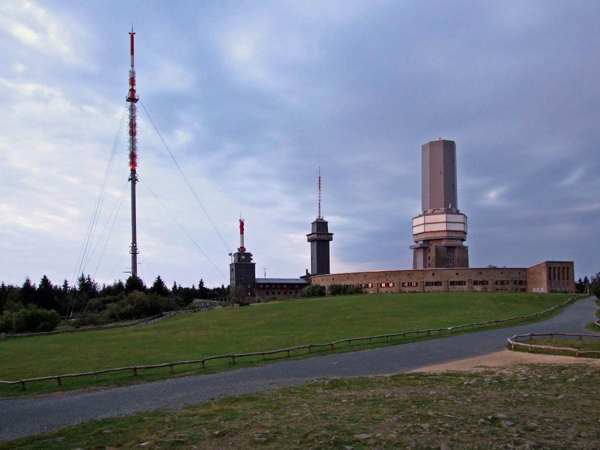
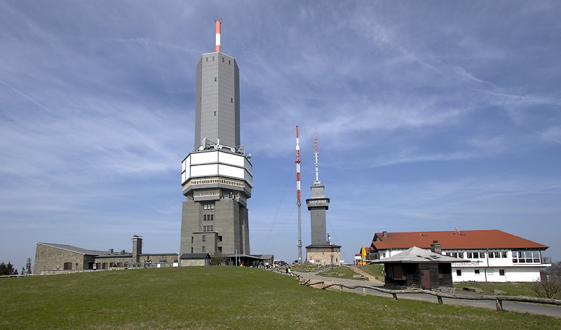
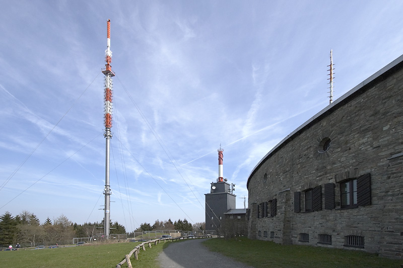
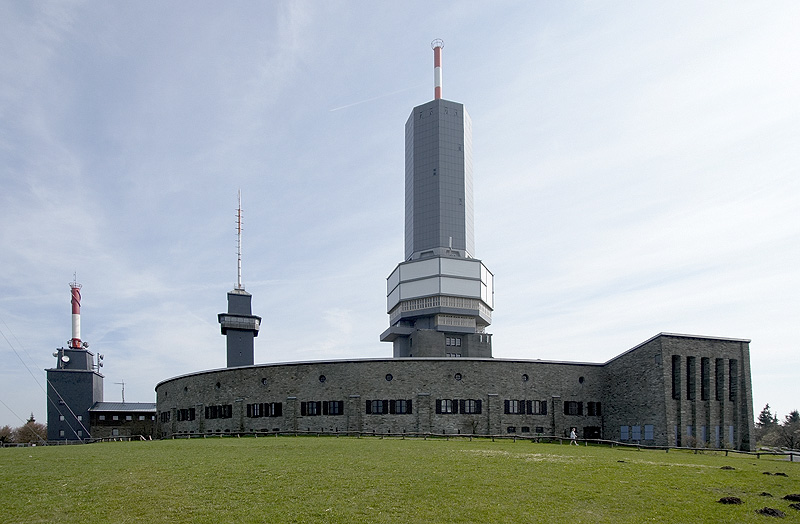
| Other name(s): | Fernmeldeturm Feldberg/Taunus |
|---|---|
| Beginning of works: | 1937 |
| Completion: | 1937 |
| Status: | in use |
Project Type
| Function / usage: |
Directional radio transmitter Television transmission tower VHF/UHF transmitter |
|---|
Location
| Location: |
Schmitten, Hochtaunuskreis, Hesse, Germany |
|---|---|
| Coordinates: | 50° 13' 55.74" N 8° 27' 26.18" E |
Technical Information
Dimensions
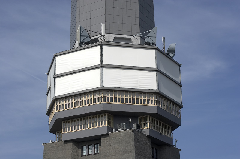
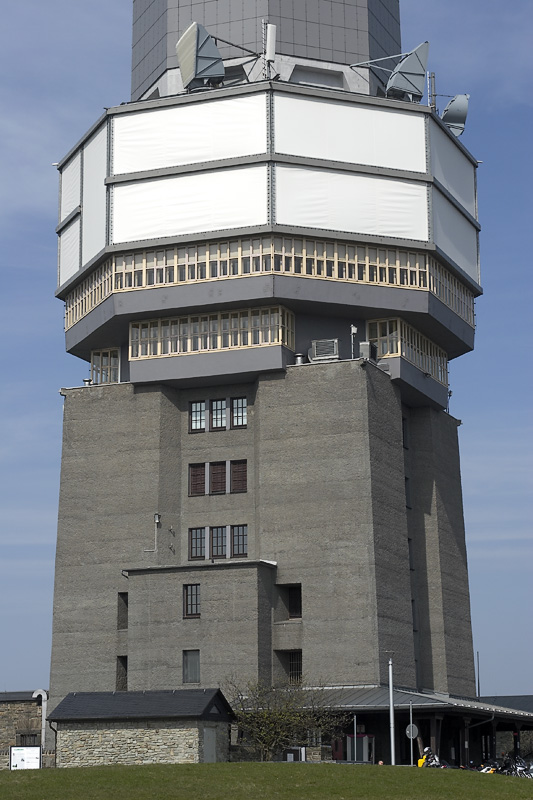
| height | 69.13 m | |
| number of floors (above ground) | 20 |
Chronology
| 1943 | A German aircraft hits the tower which ignites and is destroyed by the fire. |
|---|
Participants
Currently there is no information available about persons or companies having participated in this project.
Relevant Web Sites
There currently are no relevant websites listed.
Relevant Publications
- (1966): Turmbauwerke. Bauverlag GmbH, Wiesbaden (Germany), pp. 228-232.
- About this
data sheet - Structure-ID
20012605 - Published on:
01/08/2004 - Last updated on:
19/03/2021
Structurae cooperates with


