General Information
Project Type
| Structure: |
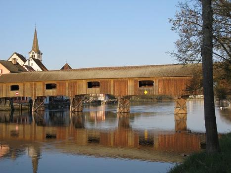
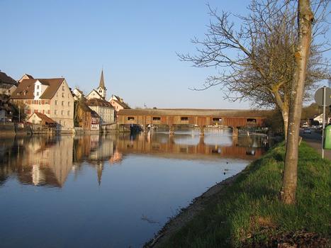
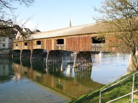
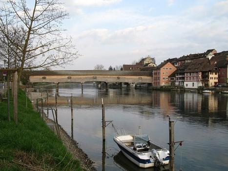
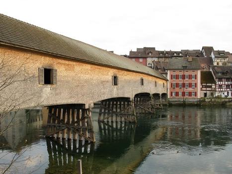
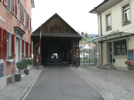
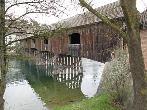
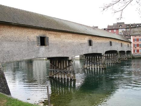
Covered bridge |
|---|---|
| Function / usage: |
Road bridge |
| Material: |
Timber bridge |
Location
| Location: |
Gailingen am Hochrhein, Konstanz (Kreis), Baden-Württemberg, Germany Diessenhofen, Thurgovia, Switzerland |
|---|---|
| Crosses: |
|
| Coordinates: | 47° 41' 26.95" N 8° 45' 3.31" E |
Technical Information
Dimensions
| width | 6.10 m | |
| height | ca. 6.30 m | |
| total length | 86.70 m |
Materials
| superstructure |
wood
|
|---|
Chronology
| 9 November 1944 | An accidental bomb drop by the American forces destroys the northern part of the bridge. |
|---|---|
| 1946 — 1947 | Repair of the bridge damage. |
| 1996 | Restoration. |
Participants
Relevant Web Sites
There currently are no relevant websites listed.
Relevant Publications
- (1999): Ingenieurbauführer Baden-Württemberg. 1st edition, Bauwerk Verlag, Berlin (Germany), pp. 74-75.
- About this
data sheet - Structure-ID
20001526 - Published on:
14/07/2001 - Last updated on:
28/05/2021

