
General Information
Project Type
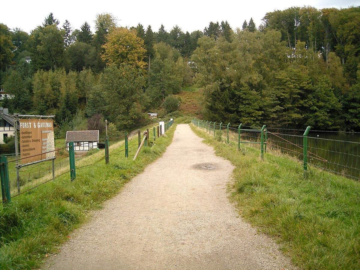
| Function / usage: |
Hydroelectric dam / plant |
|---|---|
| Structure: |
Earthfill dam |
Location
| Location: |
Leverkusen, North Rhine-Westphalia, Germany Leichlingen, Rheinisch-Bergischer Kreis, North Rhine-Westphalia, Germany |
|---|---|
| Coordinates: | 51° 5' 48.18" N 7° 3' 39.48" E |
Technical Information
Dimensions
| height | ca. 10 m | |
| crest length | 100 m |
Participants
Currently there is no information available about persons or companies having participated in this project.
Relevant Web Sites
There currently are no relevant websites listed.
- About this
data sheet - Structure-ID
20020629 - Published on:
21/04/2006 - Last updated on:
22/12/2015
Structurae cooperates with


