
General Information
| Name in local language: | Deriner Barajı |
|---|---|
| Beginning of works: | January 1998 |
| Completion: | 24 February 2012 |
| Status: | in use |
Project Type
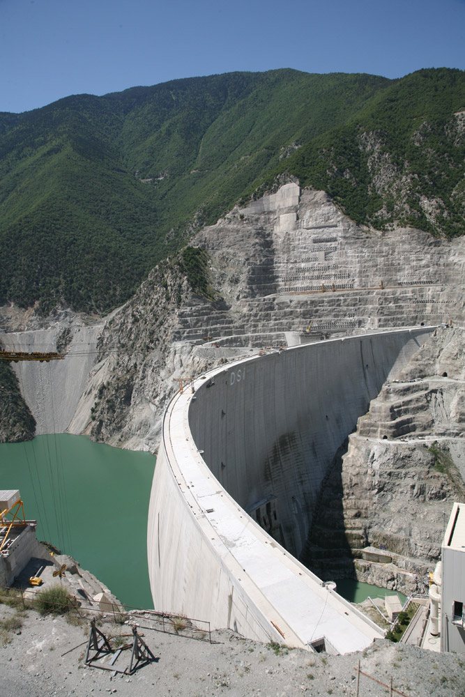
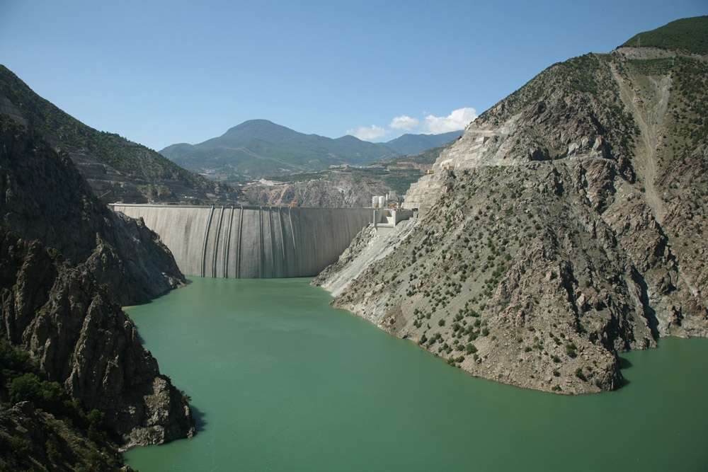
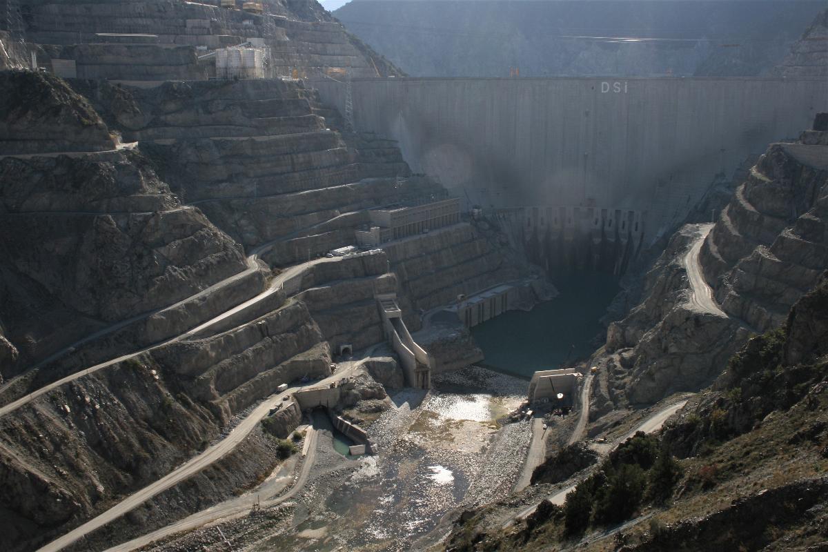
| Structure: |
Arch dam |
|---|---|
| Function / usage: |
Hydroelectric dam / plant |
| Material: |
Concrete dam |
Location
Technical Information
Dimensions
| height | 249 m | |
| retained water volume | 1 969 000 000 m³ | |
| crest thickness | 12.00 - 18.00 m | |
| base thickness | 55.00 m | |
| spillway capacity | 2 250 m³/s | |
| capacity for electric power generation | 670 MW | |
| dam volume | 3 500 000 m³ | |
| water surface area | 26.4 km² | |
| tunnel | length | 898.14 m |
Materials
| dam structure |
reinforced concrete
|
|---|
Chronology
| 12 December 2012 | Scheduled opening date. |
|---|
Participants
Main contractor
Relevant Web Sites

- About this
data sheet - Structure-ID
20026512 - Published on:
21/02/2007 - Last updated on:
09/02/2023
Structurae cooperates with


