
General Information
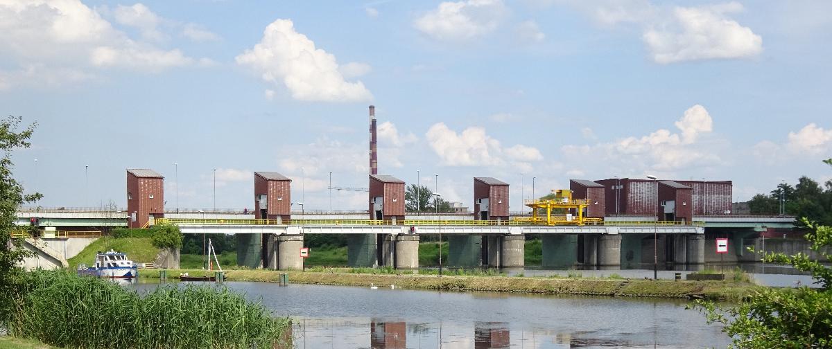
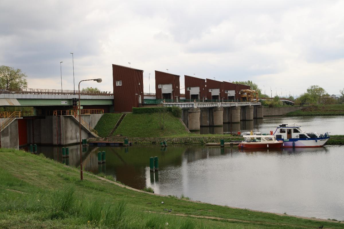
| Name in local language: | Stopień Wodny Dąbie |
|---|---|
| Beginning of works: | 1957 |
| Completion: | 1961 |
| Status: | in use |
Project Type
| Function / usage: |
Lock Road bridge |
|---|---|
| Structure: |
Mobile barrage |
| Function / usage: |
Hydroelectric dam / plant |
| Structure: |
Girder bridge |
Location
| Location: |
Cracow, Lesser Poland Voivodeship, Poland |
|---|---|
| Impounds: |
|
| Coordinates: | 50° 3' 12.67" N 19° 58' 37.57" E |
Technical Information
Dimensions
| bridge | ||
|---|---|---|
| width | 13.4 m | |
| length | 230 m | |
| number of spans | 10 | |
Participants
Currently there is no information available about persons or companies having participated in this project.
Relevant Web Sites
There currently are no relevant websites listed.
- About this
data sheet - Structure-ID
20080982 - Published on:
17/04/2021 - Last updated on:
18/04/2021
Structurae cooperates with


