
General Information
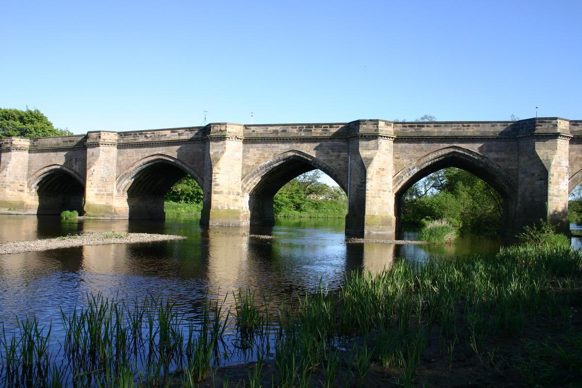
| Completion: | 14th century |
|---|---|
| Status: | in use |
Project Type
| Structure: |
Pointed arch bridge |
|---|---|
| Function / usage: |
Road bridge |
| Material: |
Masonry bridge |
Location
| Location: |
Croft-on-Tees, North Yorkshire, Yorkshire and the Humber, England, United Kingdom |
|---|---|
| Crosses: |
|
| Coordinates: | 54° 28' 58.99" N 1° 33' 15.27" W |
Technical Information
Dimensions
| total length | 100.65 m | |
| main spans | 5 x 11.30 m | |
| number of arches | 7 |
Materials
| arches |
stone
|
|---|
Chronology
| 1795 | Widening. |
|---|
Participants
Currently there is no information available about persons or companies having participated in this project.
Relevant Web Sites

Relevant Publications
- (1990): Les grands ponts du monde: Ponts remarquables d'Europe. Brissaud, Poitiers (France), pp. 262.
- About this
data sheet - Structure-ID
20007278 - Published on:
16/12/2002 - Last updated on:
28/05/2021
Structurae cooperates with


