
General Information
| Name in local language: | Diga di Corbara |
|---|---|
| Beginning of works: | November 1959 |
| Completion: | 1962 |
| Status: | in use |
Project Type
| Material: |
Concrete dam |
|---|---|
| Structure: |
Rockfill dam |
| Function / usage: |
Hydroelectric dam / plant Flood-control dam |
| Structure: |
Gravity dam |
Location
| Location: |
Orvieto, Terni, Umbria, Italy Baschi, Terni, Umbria, Italy |
|---|---|
| Address: | SS448 |
| Coordinates: | 42° 42' 11.30" N 12° 13' 50.93" E |
Technical Information
Dimensions
| height | 52 m | |
| retained water volume | 192 000 000 m³ | |
| crest length | 641 m | |
| concrete | crest length | 416 m |
Excerpt from Wikipedia
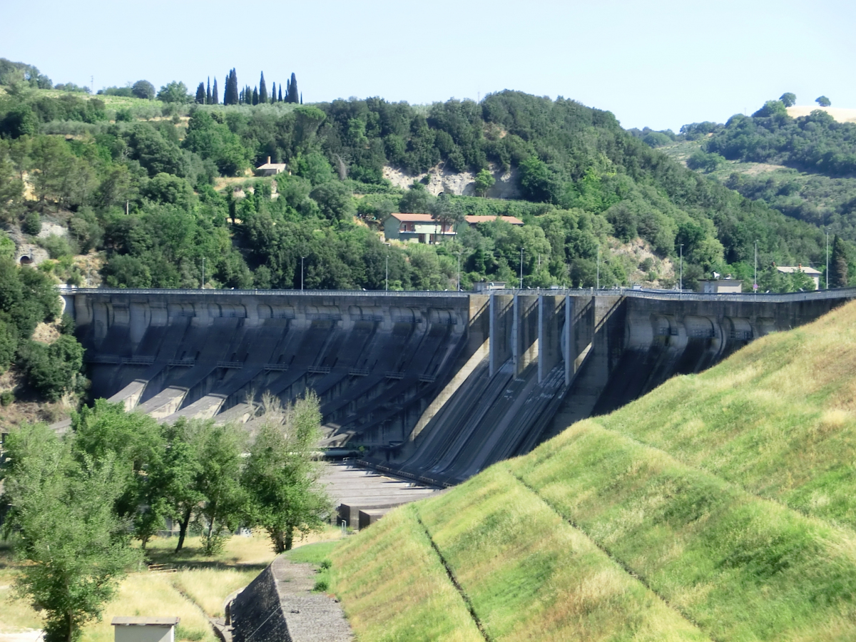
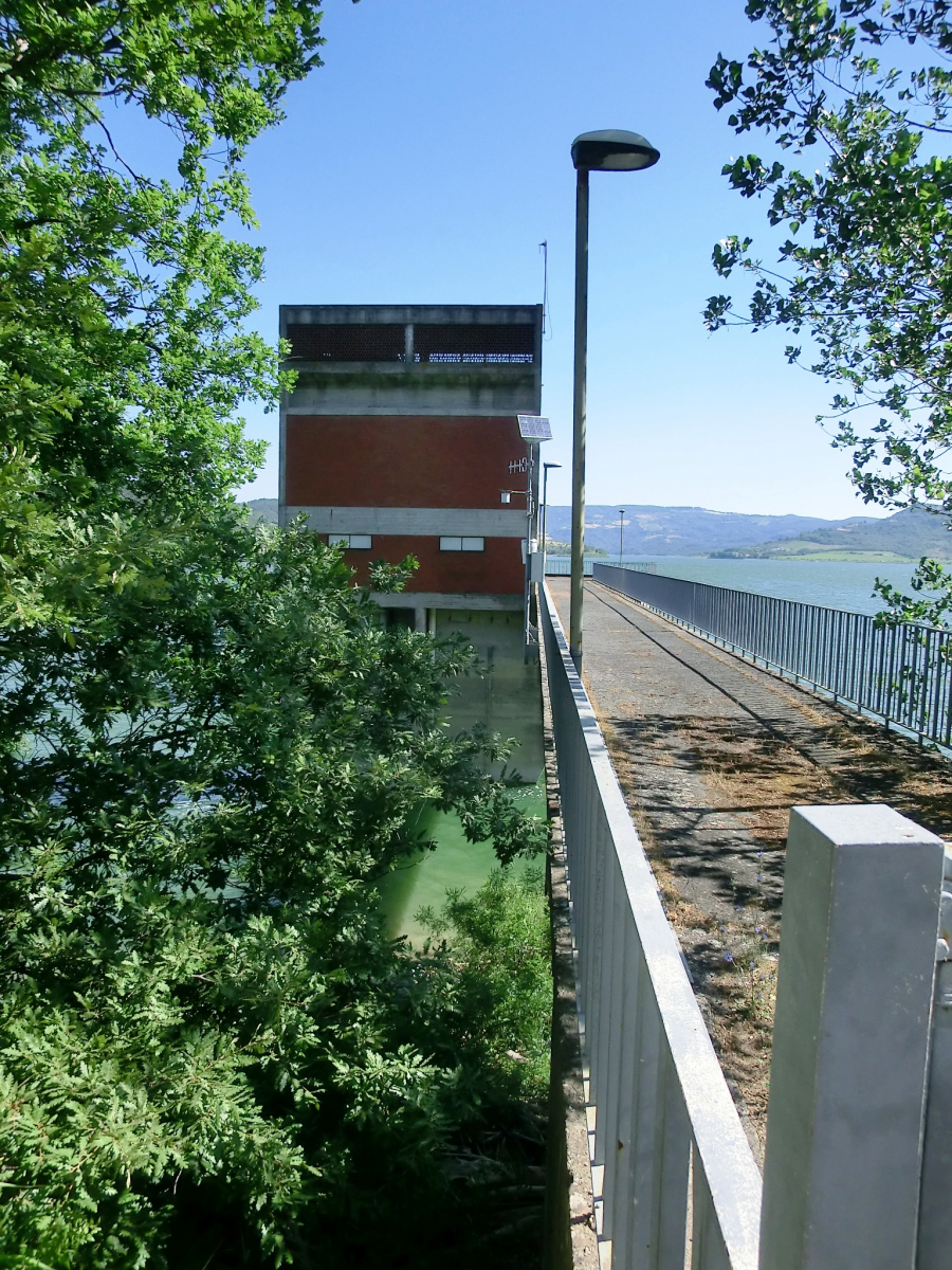
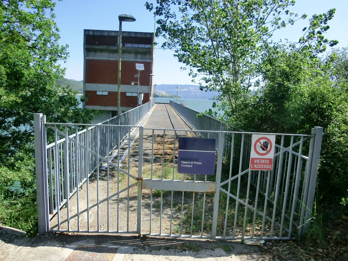
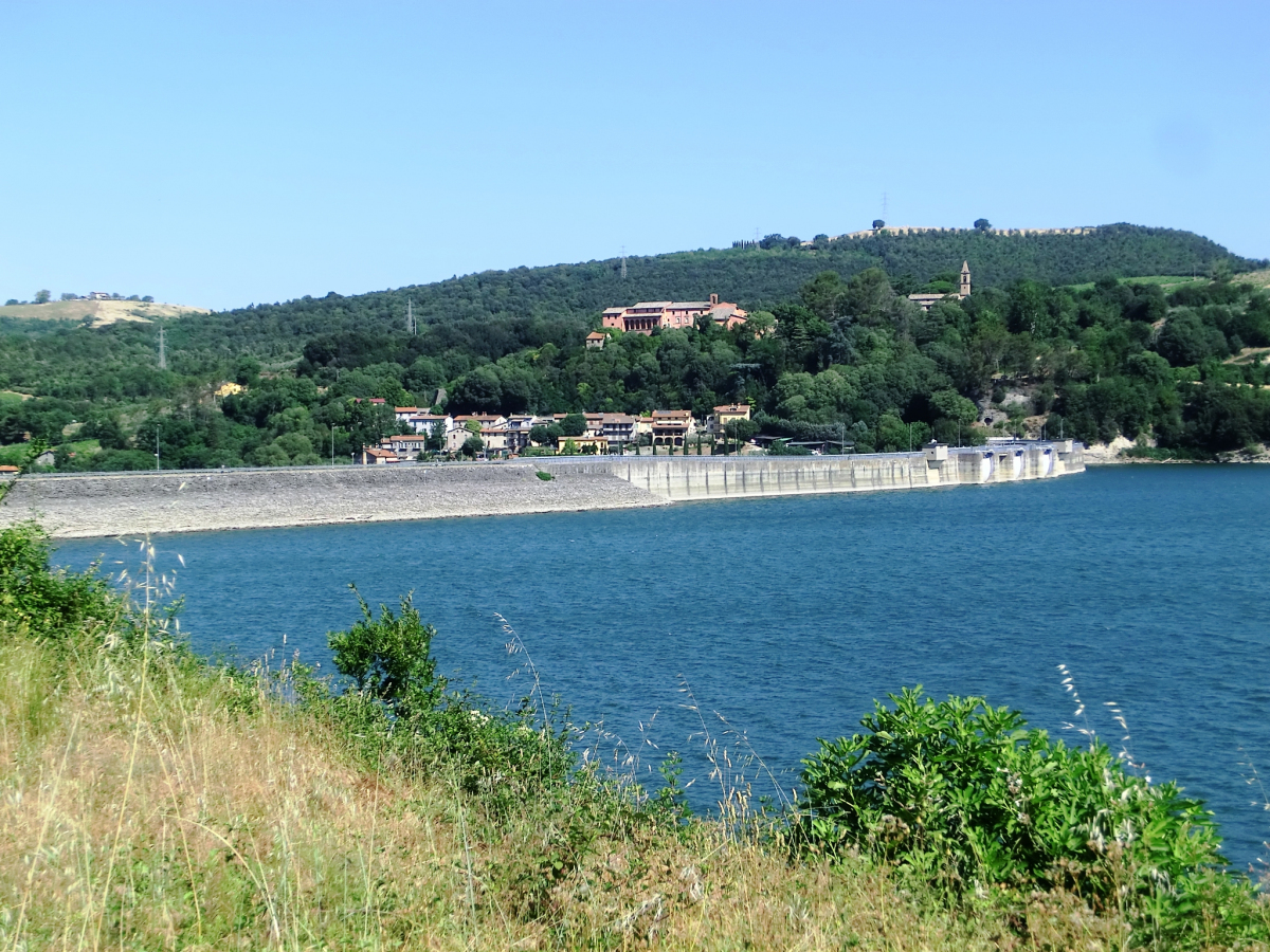
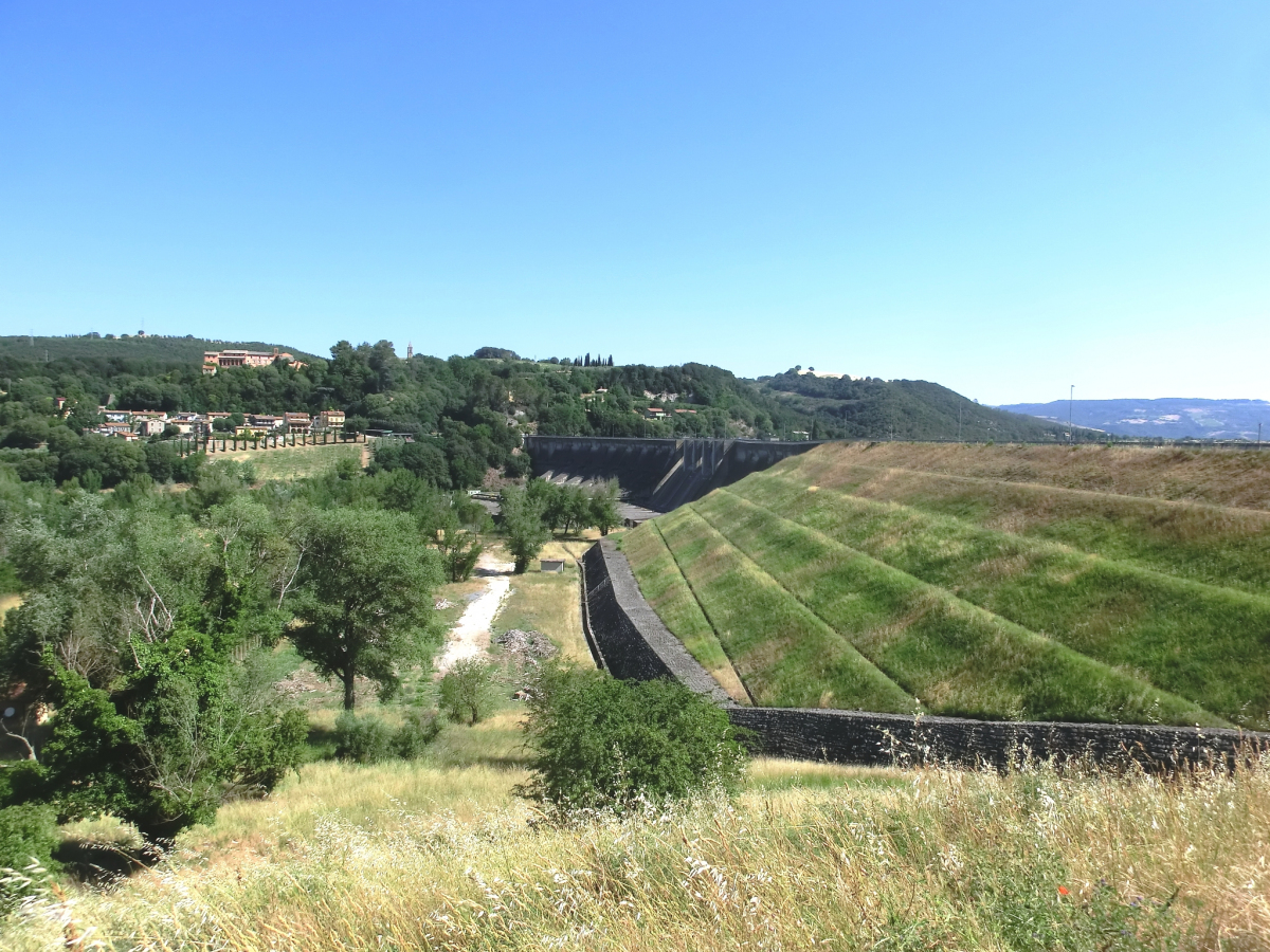
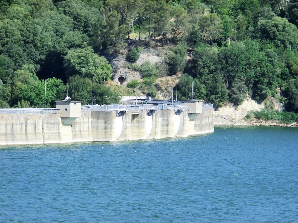
The Corbara Dam is located on the River Tiber near Corbara in the province of Terni in the Umbria region of Italy. It is a combination gravity and embankment dam. The gravity section forms the spillway while the embankment section adjoins on the left side. The dam was constructed between 1959 and 1963 for the primary purpose of hydroelectric power generation but it was later found to useful in preventing floods in Rome downstream. The reservoir created by the dam, Lake Corbara, supplies water to the expansive Terni Hydroelectric Complex. The complex has an installed capacity of 531 MW and is owned by Enel.
Text imported from Wikipedia article "Corbara Dam" and modified on February 10, 2023 according to the CC-BY-SA 4.0 International license.
Participants
Currently there is no information available about persons or companies having participated in this project.
Relevant Web Sites

- About this
data sheet - Structure-ID
20084526 - Published on:
25/01/2023 - Last updated on:
25/01/2023


