General Information
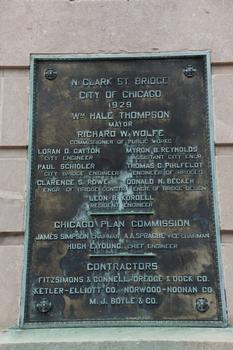
| Completion: | 1929 |
|---|---|
| Status: | in use |
Project Type
| Structure: |
Pony truss bridge |
|---|---|
| Function / usage: |
Road bridge |
Location
| Location: |
Chicago, Cook County, Illinois, USA |
|---|---|
| Address: | North Clark Street |
| Crosses: |
|
| Location description: |
Over Main Branch Chicago River |
| Coordinates: | 41° 53' 15" N 87° 37' 51.60" W |
Technical Information
Dimensions
| main span | 74.77 m | |
| total length | 105.46 m |
Excerpt from Wikipedia
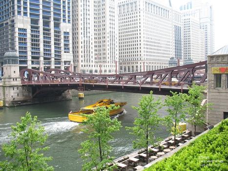
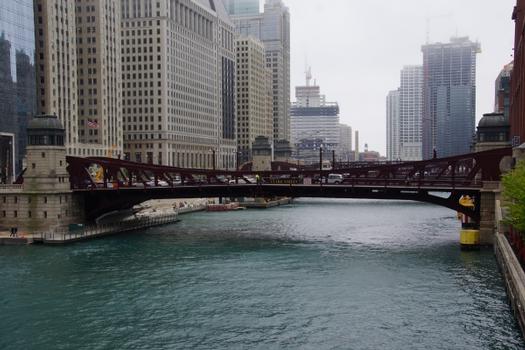
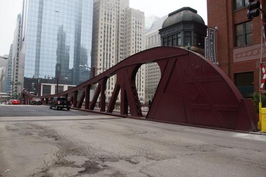
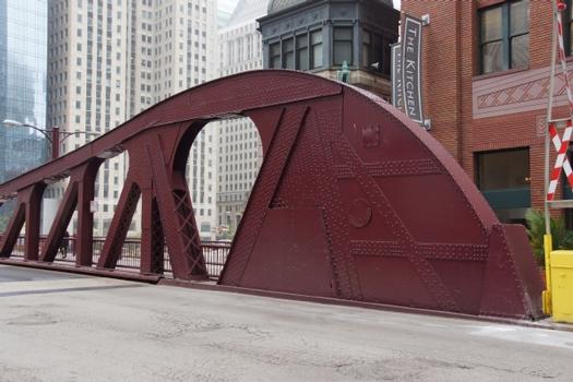
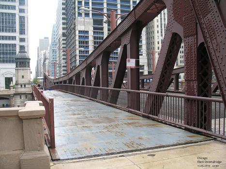
The Clark Street Bridge is a bascule bridge that spans the Chicago River in downtown Chicago, connecting the Near North Side with The Loop.
History
State Street Bridge (foreground), Dearborn Street Bridge, Clark Street Bridge, La Salle Street Bridge, Wells Street Bridge, and Franklin Street Bridge
The current bridge, which was completed in 1929, is the eighth bridge to span the river at this point. In 1853 the bridge was struck by a steamer, called the London, and collapsed, blocking traffic on the river. The bridge was dredged and river traffic resumed on September 8. In 1854, the city approved an expenditure of $12,000 to replace the bridge with a pivot bridge. During the Lager Beer Riot in 1855, the bridge was pivoted to help contain the rioters.
Text imported from Wikipedia article "Clark Street Bridge" and modified on July 23, 2019 according to the CC-BY-SA 4.0 International license.
Participants
Currently there is no information available about persons or companies having participated in this project.
Relevant Web Sites
- About this
data sheet - Structure-ID
20038848 - Published on:
08/08/2008 - Last updated on:
23/11/2018

