
General Information
| Completion: | 1933 |
|---|---|
| Status: | in use |
Project Type
| Function / usage: |
Railroad (railway) station |
|---|
Location
| Location: |
Chartres, Eure-et-Loir (28), Centre-Val de Loire, France |
|---|---|
| Address: | 8 Place Pierre Sémard |
| Part of: |
|
| Coordinates: | 48° 26' 54" N 1° 28' 52" E |
Technical Information
There currently is no technical data available.
Excerpt from Wikipedia
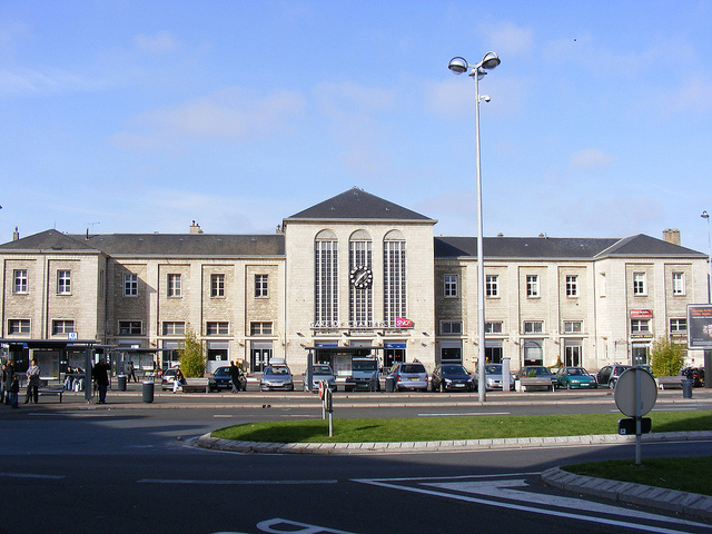
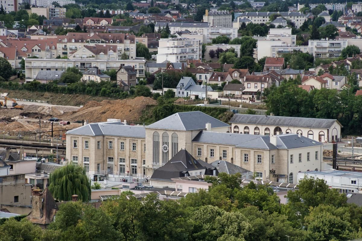
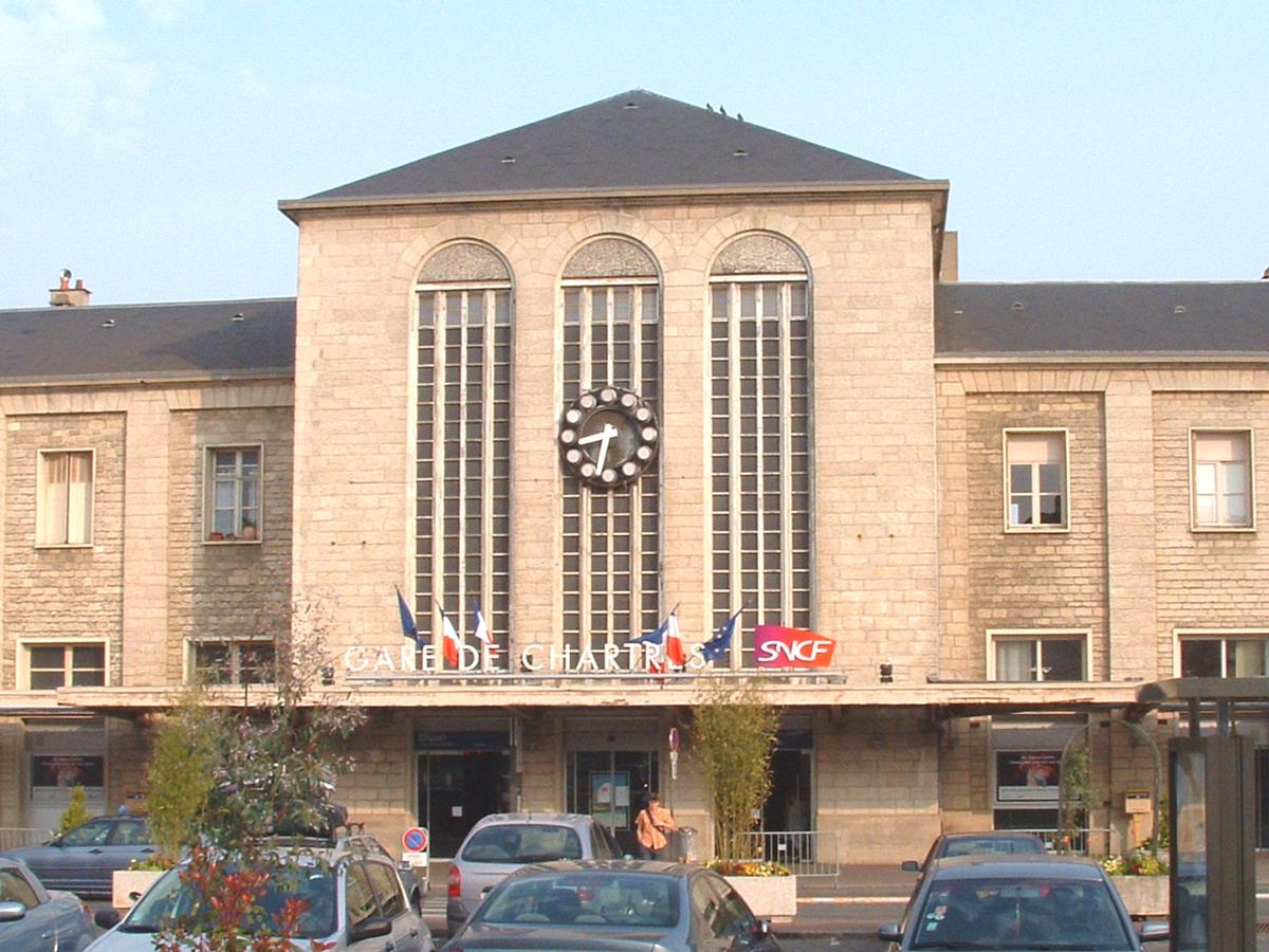
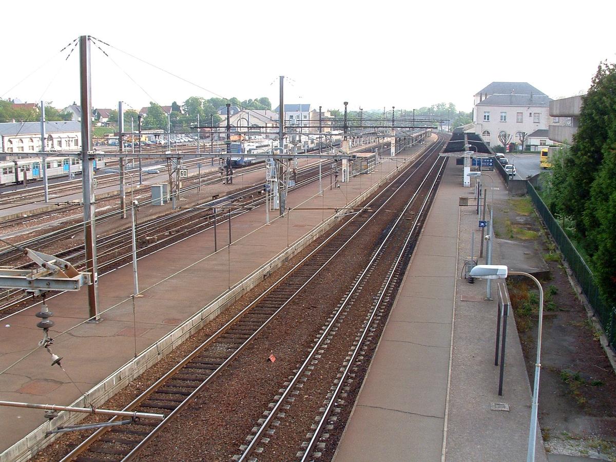
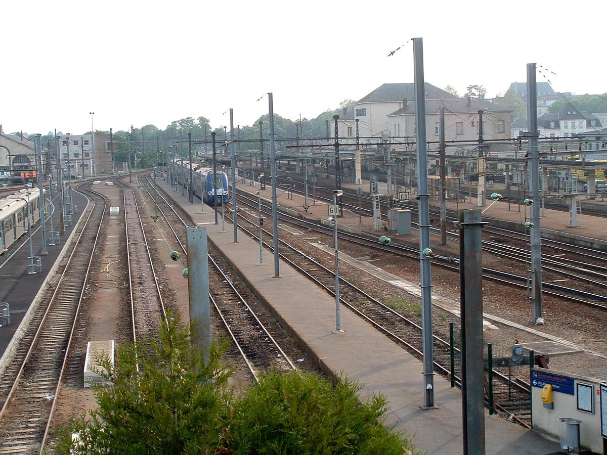
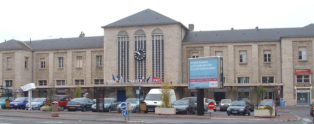
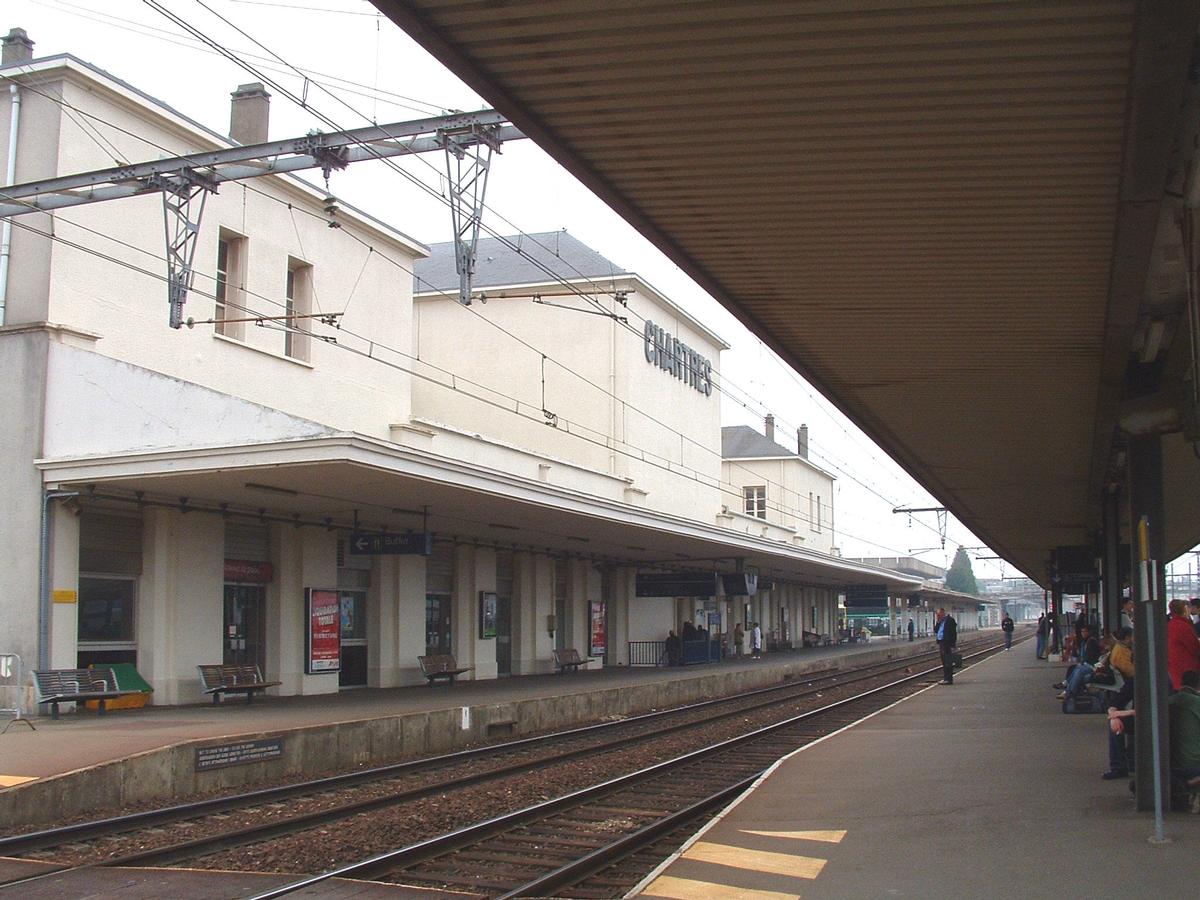
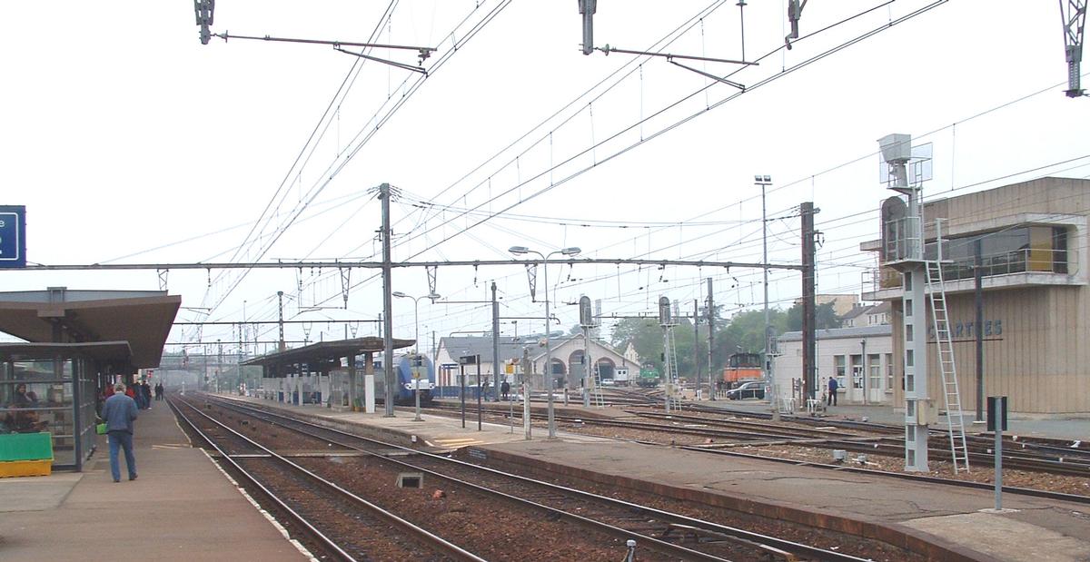
Gare de Chartres is a railway station serving the town of Chartres in the Eure-et-Loir department and Centre-Val de Loire region of France. It is situated on the Paris–Brest railway. The station is part of the SNCF rail network and is served by TER Centre-Val de Loire trains.
History
The original station was built in 1849.
Current building
The station has been renovated five times since 1870.
In 1933, the current building was constructed under the authority of Raoul Dautry, the directeur général of the Chemins de fer de l'État. It was designed by the french architect Henri Pacon.
Since 2018, the station has been at the centre of a vast renewal of the city's urban core. The project is set to be finished by 2030.
Text imported from Wikipedia article "Chartres station" and modified on June 3, 2020 according to the CC-BY-SA 4.0 International license.
Participants
- Henri Victor Pacon (architect)
Relevant Web Sites

- About this
data sheet - Structure-ID
20021589 - Published on:
16/05/2006 - Last updated on:
14/01/2025


