

General Information
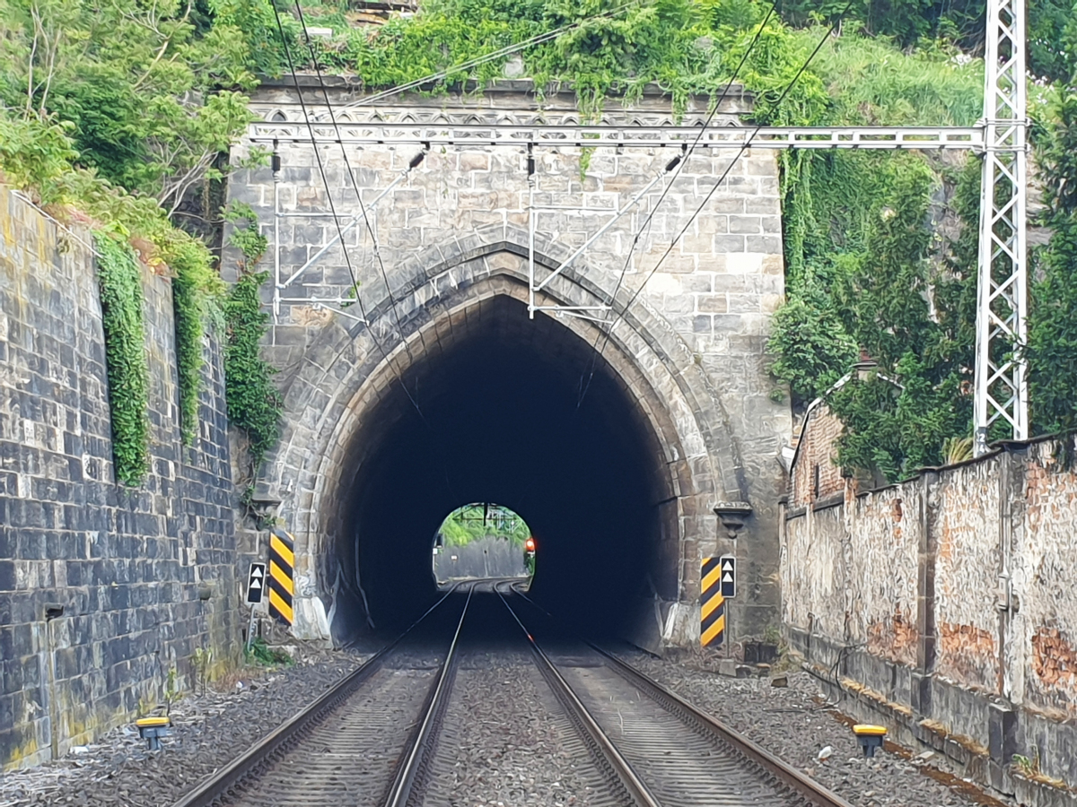
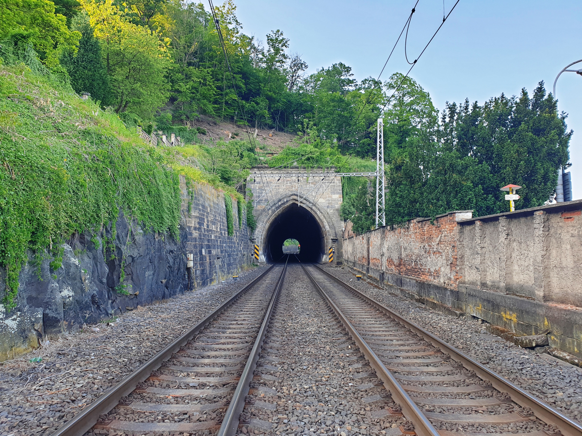
| Name in local language: | Tunel Červená skála |
|---|---|
| Beginning of works: | 1847 |
| Completion: | 1849 |
| Status: | in use |
Project Type
| Structure: |
Tunnel |
|---|---|
| Function / usage: |
Railroad (railway) tunnel |
Location
| Location: |
Děčín, Ústí nad Labem Region, Czechia |
|---|---|
| Coordinates: | 50° 46' 54.99" N 14° 12' 23.17" E |
| Coordinates: | 50° 46' 59.77" N 14° 12' 26.56" E |
Technical Information
Dimensions
| length | 149.74 m |
Participants
Currently there is no information available about persons or companies having participated in this project.
Relevant Web Sites
There currently are no relevant websites listed.
- About this
data sheet - Structure-ID
20085992 - Published on:
11/08/2023 - Last updated on:
11/08/2023
Structurae cooperates with


