
General Information
Project Type
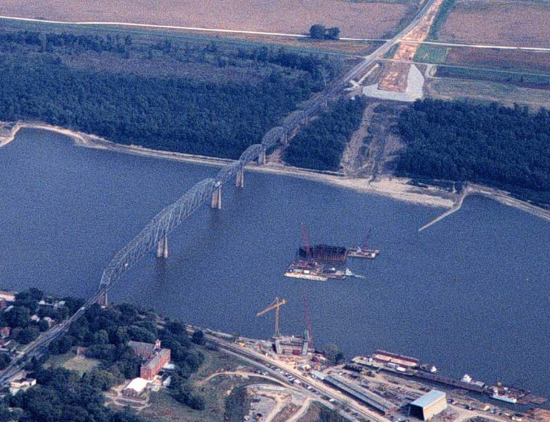
| Function / usage: |
Road bridge |
|---|---|
| Structure: |
Through truss bridge Continuous truss bridge |
| Material: |
Steel bridge |
| Structure: |
Cantilever truss bridge |
Location
| Location: |
Cape Girardeau, Cape Girardeau County, Missouri, USA East Cape Girardeau, Alexander County, Illinois, USA |
|---|---|
| Address: | MO 34 |
| Crossed: |
|
| Coordinates: | 37° 17' 43" N 89° 30' 57" W |
Technical Information
Dimensions
| main span | 204.52 m | |
| total length | 1 446.06 m |
Participants
Currently there is no information available about persons or companies having participated in this project.
Relevant Web Sites

Relevant Publications
- (1996): Cape Girardeau Bridge Over the Mississippi River. Presented at: Structures Congress XIV held in Chicago, Illinois, April 15-18, 1996, pp. 952-959.
- About this
data sheet - Structure-ID
20051013 - Published on:
29/12/2009 - Last updated on:
05/02/2016
Structurae cooperates with


