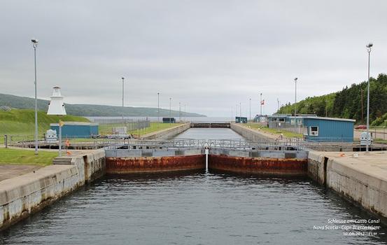
General Information
Project Type
| Function / usage: |
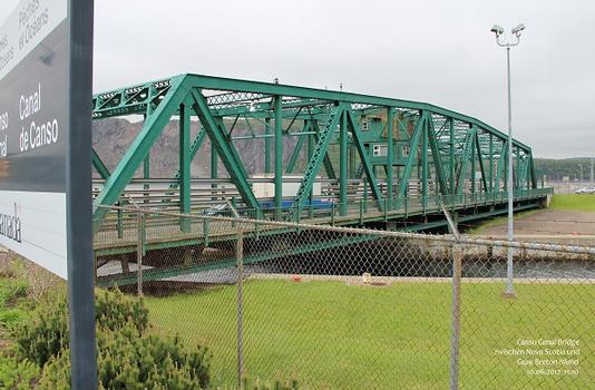
Causeway (road) |
|---|---|
| Structure: |
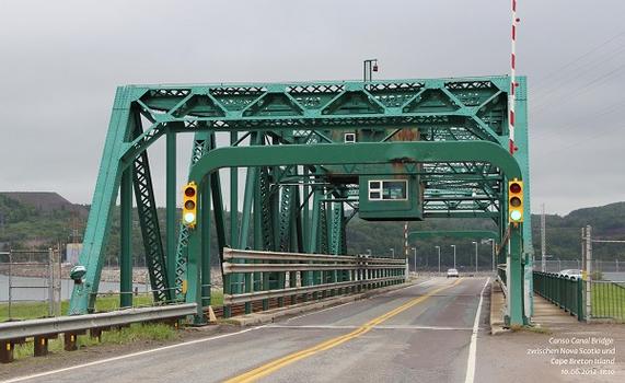
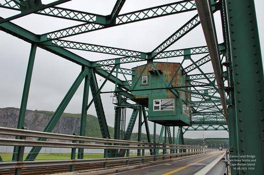
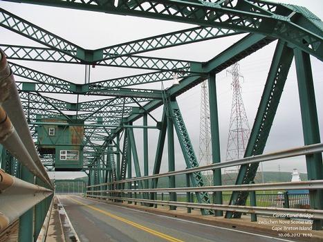
Swing bridge Rockfill dam |
| Function / usage: |
Canal embankment Lock |
Location
| Location: |
Nova Scotia, Canada |
|---|---|
| Coordinates: | 45° 38' 40.12" N 61° 25' 9.05" W |
Technical Information
Dimensions
| length | 1 385 m | |
| crest thickness | 40 m | |
| base width | 244 m | |
| depth | 65 m | |
| Canal | width | 24 m |
| length | 570 m | |
| swing span | length | 94 m |
Chronology
| March 1952 | Construction contract issued. |
|---|---|
| 16 September 1952 | Construction begins. |
| 10 December 1954 | Causeway reaches Cape Breton Island. |
| 13 August 1955 | Official opening. |
Notes
Causeway for highway & railroad with a centre-pivot swing bridge over a 2-lock Canal which is also incorporated into the structure.
Participants
Consulting engineers
General contractor
Relevant Web Sites
There currently are no relevant websites listed.
- About this
data sheet - Structure-ID
20017522 - Published on:
25/08/2005 - Last updated on:
05/02/2016

